MyTopo
Classic USGS Maturango Peak California 7.5'x7.5' Topo Map
Regular price
$16.95
Regular price
Sale price
$16.95
Unit price
per
Couldn't load pickup availability
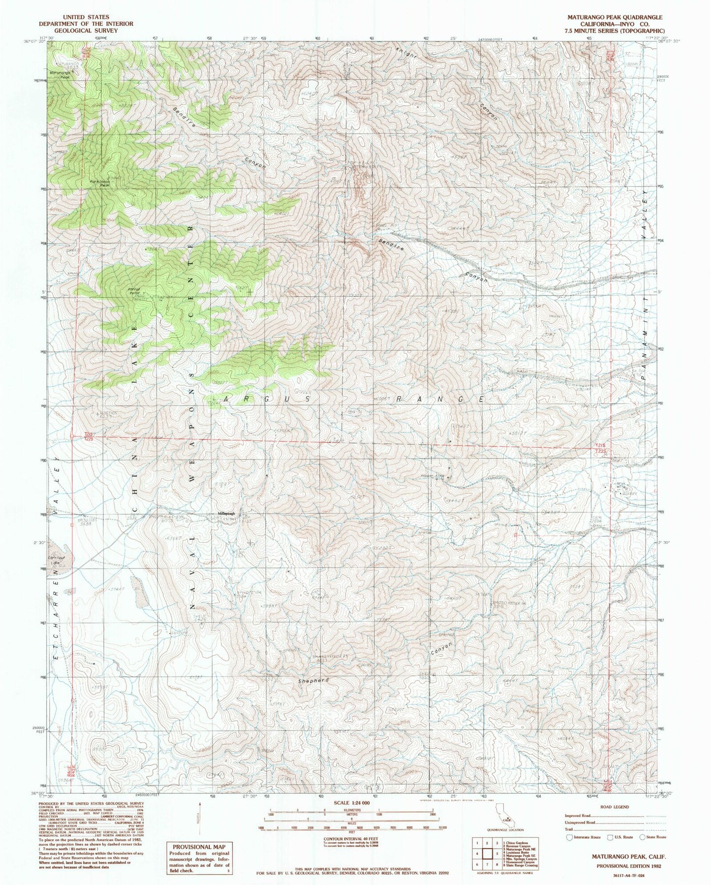
Historical USGS topographic quad map of Maturango Peak in the state of California. Map scale may vary for some years, but is generally around 1:24,000. Print size is approximately 24" x 27"
This quadrangle is in the following counties: Inyo.
The map contains contour lines, roads, rivers, towns, and lakes. Printed on high-quality waterproof paper with UV fade-resistant inks, and shipped rolled.
Contains the following named places: Argus Range Wilderness, Bendire Canyon, Carricut Lake, Knight Canyon, Kopper King Mine, Maturango Peak, Millspaugh, Onyx Mine, Parkinson Peak, Parrot Point, Shepherd Canyon