MyTopo
Classic USGS Maulden Kentucky 7.5'x7.5' Topo Map
Couldn't load pickup availability
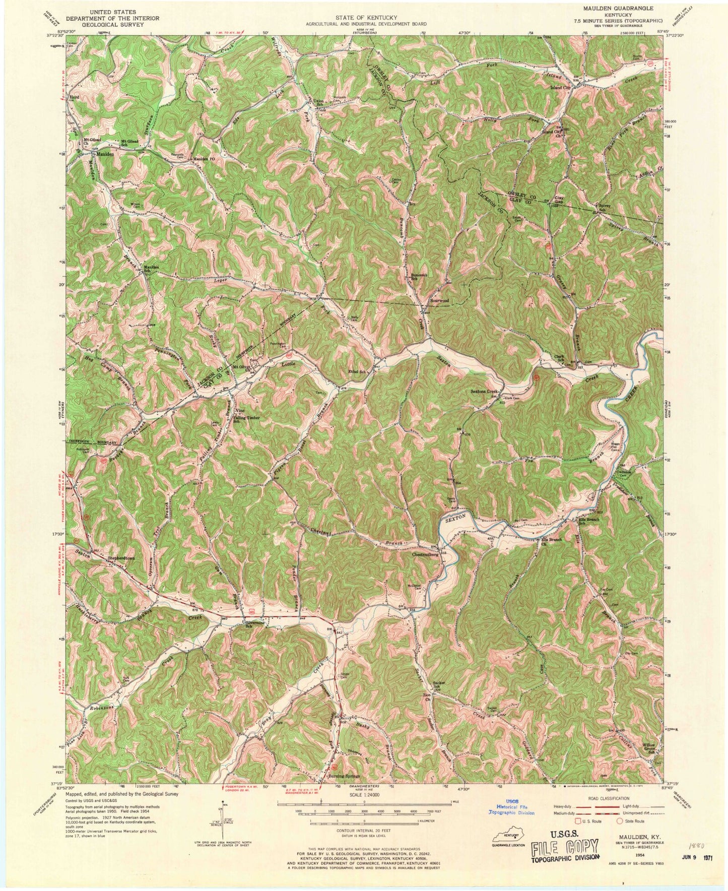
Historical USGS topographic quad map of Maulden in the state of Kentucky. Typical map scale is 1:24,000, but may vary for certain years, if available. Print size: 24" x 27"
This quadrangle is in the following counties: Clay, Jackson, Owsley.
The map contains contour lines, roads, rivers, towns, and lakes. Printed on high-quality waterproof paper with UV fade-resistant inks, and shipped rolled.
Contains the following named places: Ball Cemetery, Boggs Flat Cemeteries, Bray Creek, Buckeye Branch, Buncomb Creek, Buncomb School, Burning Springs Fork, Brushy Branch, Cave Branch, Cavins Cemetery, Chestnut Branch, Chestnutburg, Clark Cemetery, Robert Clark School, Clay Gap, Cradlebow Branch, Cradlebow Cemetery, Day Cemetery, Eds Lick, Ells Branch, Ells Branch Church, Ells Branch School, Ethel School, Falling Timber Branch, Falling Timber School, Farmer Cemetery, Fox Branch, Genty Cemetery, Grassy Branch, Gum Branch, Herd Fork, Hog Camp Branch, Holcomb Cemetery, Holly Fork, Huckleberry Branch, Island City, Island City Church, Leger Fork, Lewis Cemetery, Little Sexton Creek, Maulden, Maulden Branch, Maulden P O, Maulden School, McDaniel Cemetery, Morris Cemetery, Mount Gilead Church, Mount Olivet Church, Nelly Cemetery, Opossum Trot Branch, Pennington Cemetery, Pennington Fork, Pigeon Roost Branch, Pine Lick Branch, Ponder Branch, Ray Cemetery, Reynolds Cemetery, Robinson Cemetery, Robinsons Creek, Rocky Branch, Rocky Branch, Sacker Branch, Sacker Cemetery, Sacker Creek, Sacker School, Sextons Creek, Shepherdtown, Silvermine School, Smith Cemetery, Smith Cemetery, Sourwood, Spivey School, Thomas Hollow, Union School, Vine, Willow Grove School, Wilson Cemetery, York Cemetery, Zion Church, Burning Springs School, Pleasant Point Baptist Church, Chaple Baptist Church, Jims Branch, Willow Grove Church, Mount Carmel Church, Maulden Church, Nathanton Post Office (historical), Union (historical), Wilson's Mill, Union Church, Clark Branch, Cope Hollow, Double Lick, Chestnutburg Post Office (historical), Clark-Dun Well Hollow, Dory Post Office (historical), Ethel Post Office (historical), Fuston Branch, Malcolm Post Office (historical), Vine Post Office (historical), Chestnutburg School, Silvermine Ridge, Mouth of Little Sextons Creek (historical), Sextons Creek Post Office, Sextons Creek Post Office, Island City Volunteer Fire Department, Burning Springs Fire Department


