MyTopo
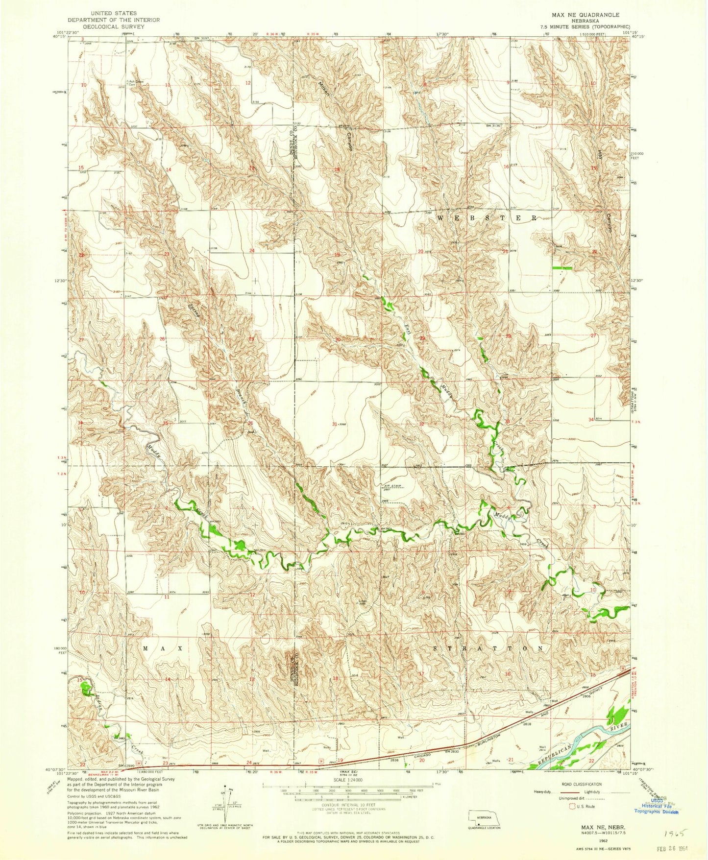
Classic USGS Max NE Nebraska 7.5'x7.5' Topo Map
Regular price
$16.95
Regular price
Sale price
$16.95
Unit price
per
Couldn't load pickup availability
Historical USGS topographic quad map of Max NE in the state of Nebraska. Map scale may vary for some years, but is generally around 1:24,000. Print size is approximately 24" x 27"
This quadrangle is in the following counties: Dundy, Hitchcock.
The map contains contour lines, roads, rivers, towns, and lakes. Printed on high-quality waterproof paper with UV fade-resistant inks, and shipped rolled.
Contains the following named places: Ash Grove Cemetery, East Muddy Creek, Gardner Dam, Gardner Reservoir, Milken Canyon, Spring Branch, Stratton Election Precinct, Township of Stratton, Township of Webster, Webster Election Precinct, ZIP Code: 69043