MyTopo
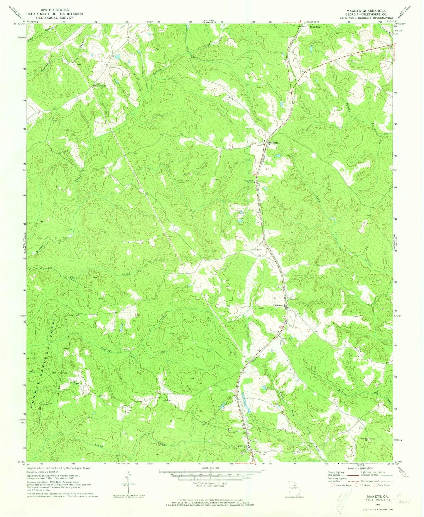
Classic USGS Maxeys Georgia 7.5'x7.5' Topo Map
Couldn't load pickup availability
Historical USGS topographic quad map of Maxeys in the state of Georgia. Map scale may vary for some years, but is generally around 1:24,000. Print size is approximately 24" x 27"
This quadrangle is in the following counties: Oglethorpe.
The map contains contour lines, roads, rivers, towns, and lakes. Printed on high-quality waterproof paper with UV fade-resistant inks, and shipped rolled.
Contains the following named places: Antioch Church, Arnold Grove Church, Bowling Green, Brightwells Mill, Center Academy, Center Church, Days Station, Dogwood School, Faithful Church, Hutchins, Lake Oglethorpe, Lake Oglethorpe Dam, Maxeys, Maxeys Volunteer Fire Department, McWhorter Cemetery, Midway Church, Moody Cemetery, Mount Zion Church, Odums Branch, Stephens, Stephens Post Office, Town of Maxeys, Wolfskin Volunteer Fire Department, ZIP Codes: 30619, 30667