MyTopo
Classic USGS Maxton North Carolina 7.5'x7.5' Topo Map
Couldn't load pickup availability
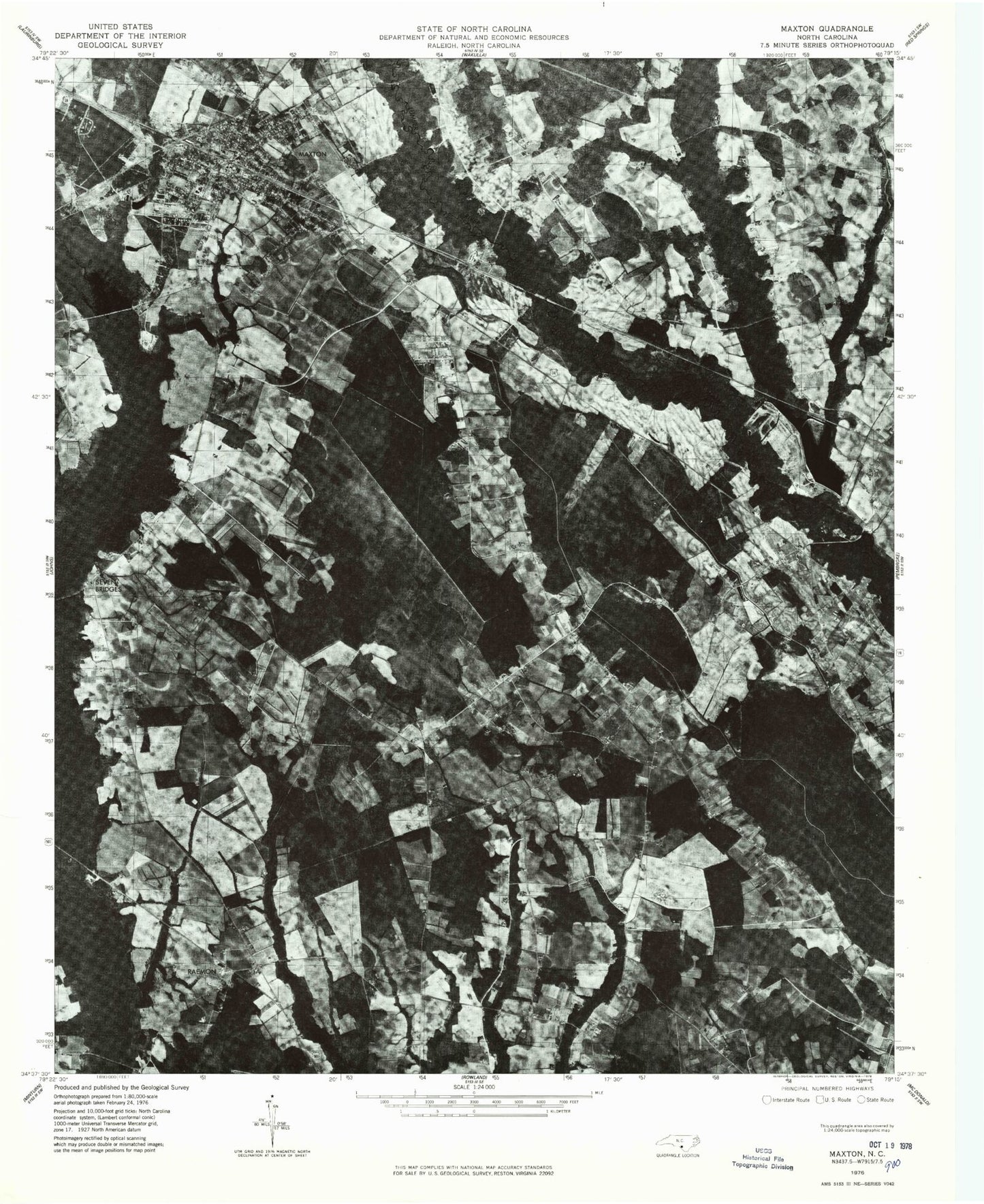
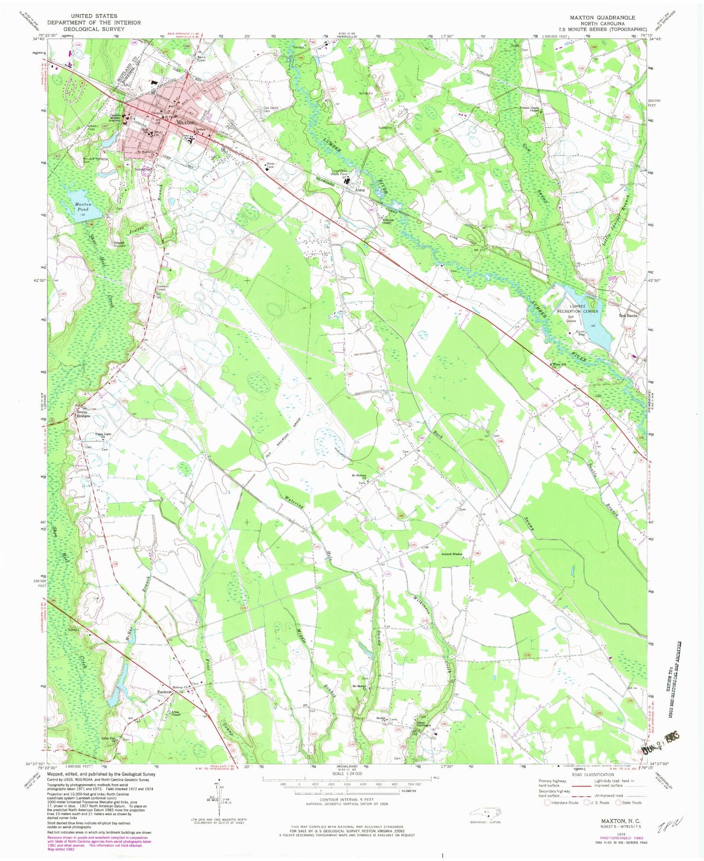
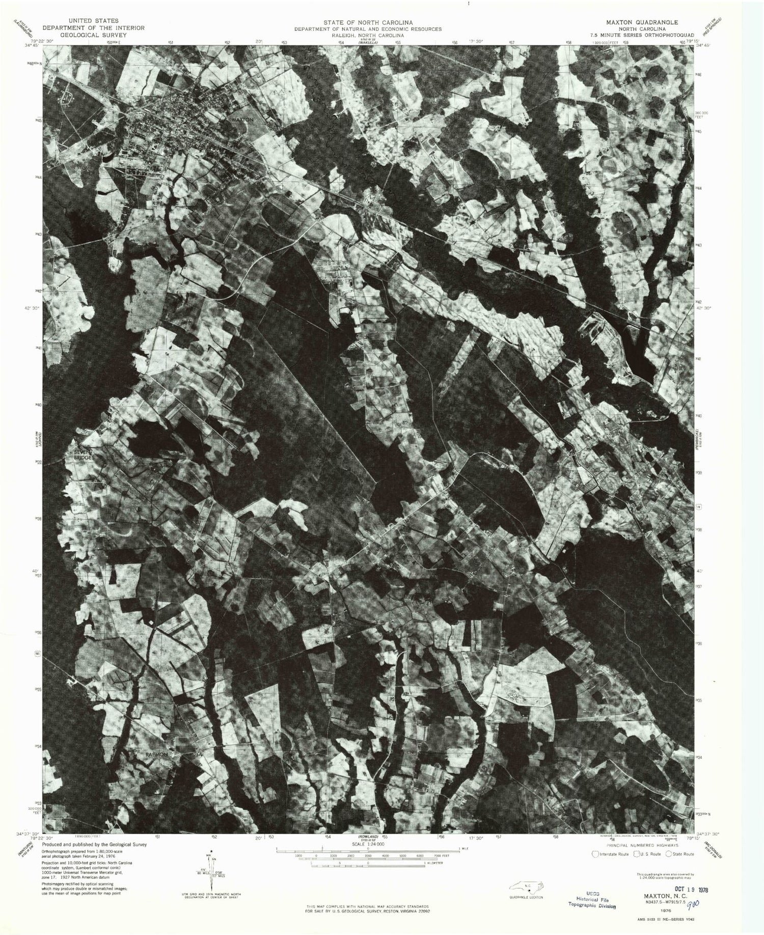
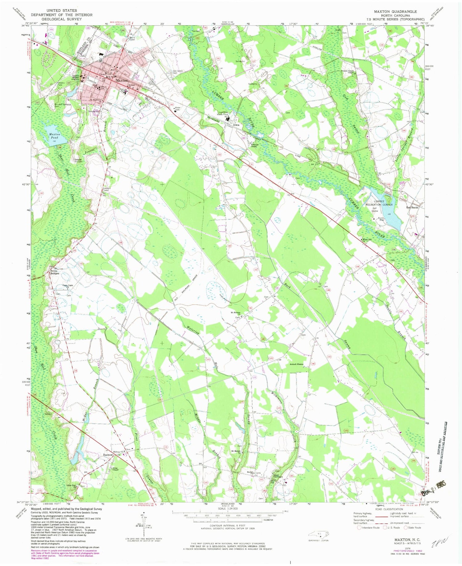
Historical USGS topographic quad map of Maxton in the state of North Carolina. Map scale may vary for some years, but is generally around 1:24,000. Print size is approximately 24" x 27"
This quadrangle is in the following counties: Robeson, Scotland.
The map contains contour lines, roads, rivers, towns, and lakes. Printed on high-quality waterproof paper with UV fade-resistant inks, and shipped rolled.
Contains the following named places: Alma, Amos Chapel, Antioch Mission, Beulah Church, Carolina Military Academy, Country Club Lake, Country Club Lake Dam, Dean School, Dothan Church, Evans Crossroads Volunteer Fire Department, Gilbert Patterson Memorial Public Library, Gospel Tabernacle, Gum Swamp, Jowers Branch, Little Juniper Branch, Little Zion Church, Lumbee Recreation Center, Maxton, Maxton Medical Center, Maxton Police Department, Maxton Pond, Maxton Pond Dam, Maxton Post Office, Maxton Rescue Squad, McLeod Memorial Cemetery, McRae Branch, Midway Church, Mount Hebron Church, Mount Moriah Church, Oak Grove Cemetery, Preston Gospel Chapel, Queheel Fire Department, Raemon, Red Banks, Saint Matthews Church, Saint Pauls Church, Seven Bridges, Town of Maxton, Townsend Middle School, Township of Alfordsville, Township of Maxton, Union Light Church, West Robeson Senior High School, White Hill Church, Williams Chapel, ZIP Code: 28364


