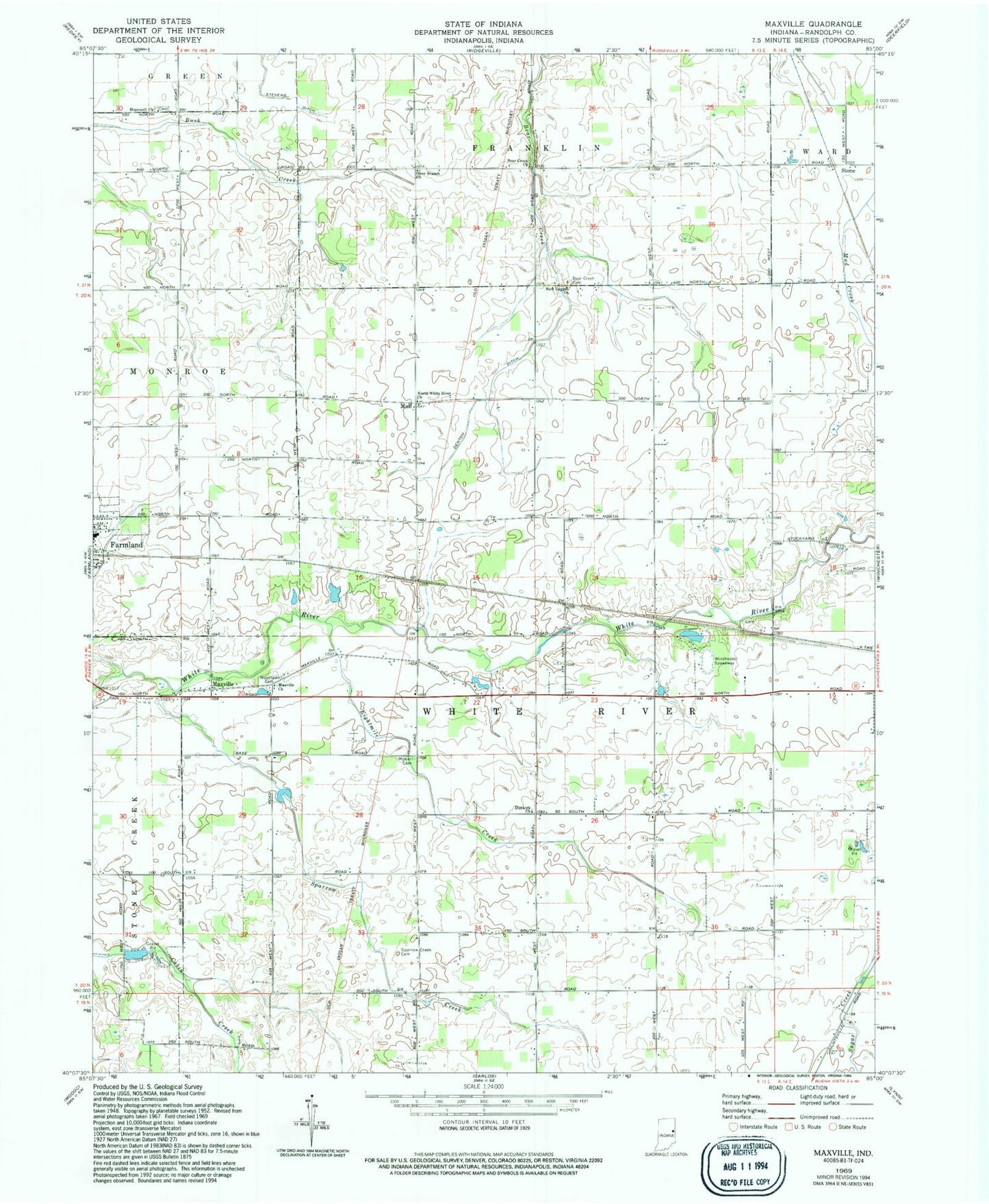
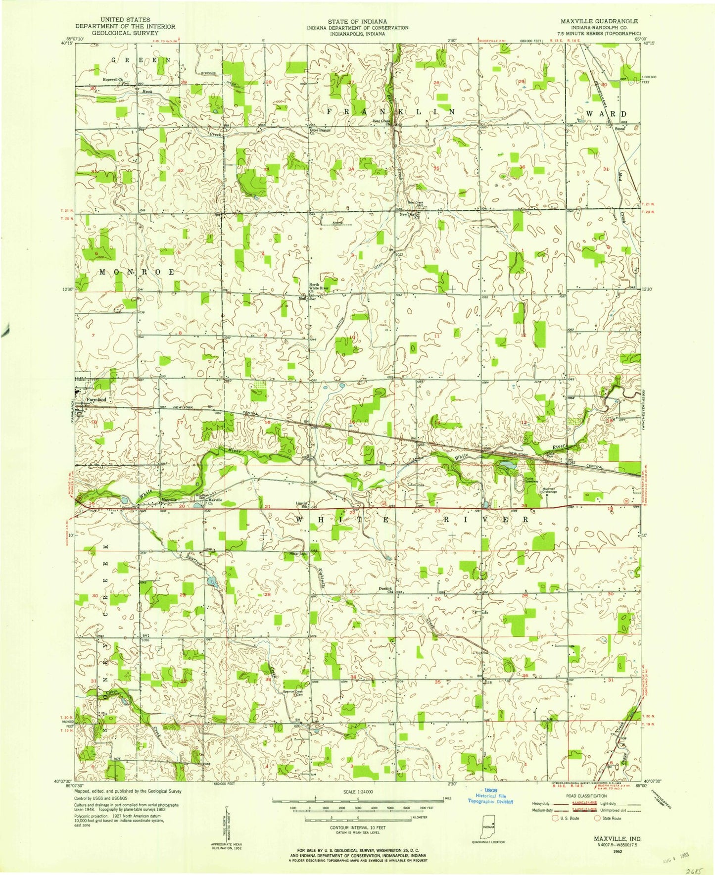
MyTopo
Classic USGS Maxville Indiana 7.5'x7.5' Topo Map
Couldn't load pickup availability
Historical USGS topographic quad map of Maxville in the state of Indiana. Map scale may vary for some years, but is generally around 1:24,000. Print size is approximately 24" x 27"
This quadrangle is in the following counties: Randolph.
The map contains contour lines, roads, rivers, towns, and lakes. Printed on high-quality waterproof paper with UV fade-resistant inks, and shipped rolled.
Contains the following named places: Bear Creek Cemetery, Bear Creek Church, Denton Ditch, Dunkirk Church, Eightmile Creek, Farmland Elementary School, Hopewell Church, Maxville, Maxville Church, Mosier Cemetery, Mull, New Dayton Church, North White River Church, Olive Branch Church, Randolph County, Silver Towne Farms, Sparrow Creek, Sparrow Creek Cemetery, Stone, Stone Road Farm, T K Hog Farm, Township of White River, Winchester Speedway, Woodlawn Cemetery