MyTopo
Classic USGS May Ranch South Dakota 7.5'x7.5' Topo Map
Regular price
$16.95
Regular price
Sale price
$16.95
Unit price
per
Couldn't load pickup availability
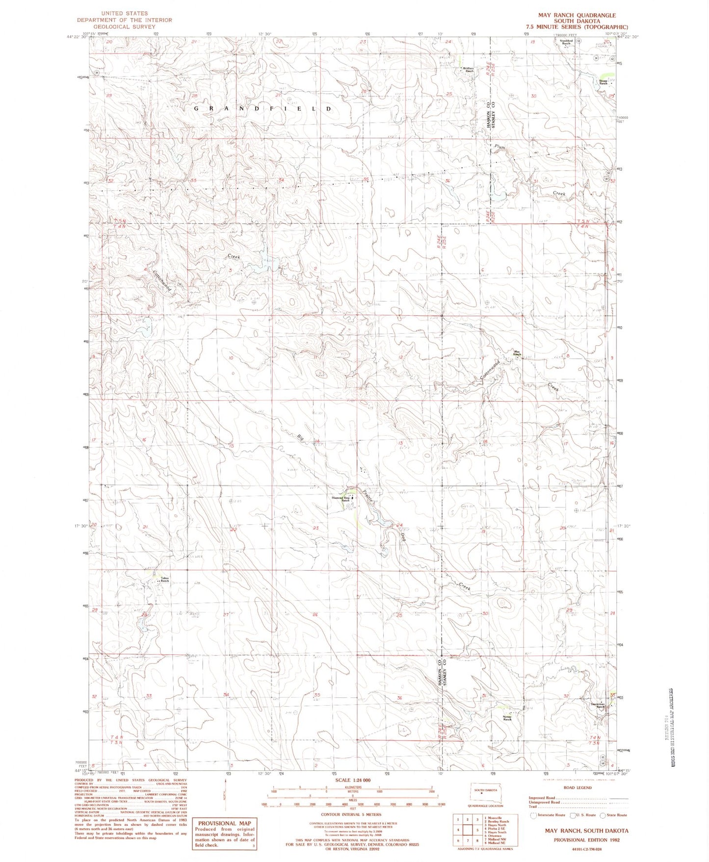
Historical USGS topographic quad map of May Ranch in the state of South Dakota. Map scale may vary for some years, but is generally around 1:24,000. Print size is approximately 24" x 27"
This quadrangle is in the following counties: Haakon, Stanley.
The map contains contour lines, roads, rivers, towns, and lakes. Printed on high-quality waterproof paper with UV fade-resistant inks, and shipped rolled.
Contains the following named places: Brothers Ranch, Diamond Ring Ranch, Gene Armstrong Landing Strip, John Saucerman Number 1 Dam, May Ranch, Nemec Ranch, Saucerman Ranch, Silvage Ranch, Standiford Ranch, Tolton Ranch, Township of Maximilian, ZIP Code: 57552