MyTopo
Classic USGS Mayer Arizona 7.5'x7.5' Topo Map
Couldn't load pickup availability
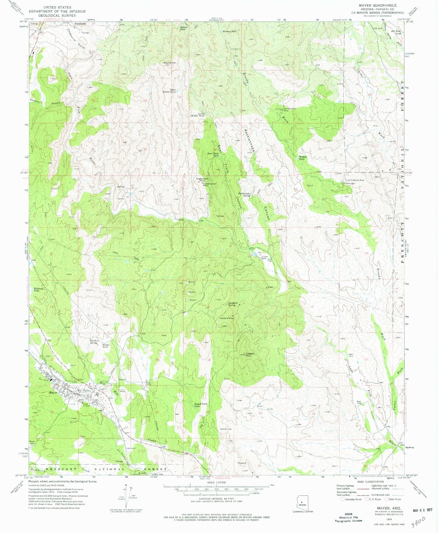
Historical USGS topographic quad map of Mayer in the state of Arizona. Map scale may vary for some years, but is generally around 1:24,000. Print size is approximately 24" x 27"
This quadrangle is in the following counties: Yavapai.
The map contains contour lines, roads, rivers, towns, and lakes. Printed on high-quality waterproof paper with UV fade-resistant inks, and shipped rolled.
Contains the following named places: Bear Track Canyon, Bear Track Tank, Bill West Tank, Binghampton Mine, Brushy Wash, Chaparral Gulch, Copper Mountain, Copper Queen Mine, Dandrea Spring, El Rancho del Rosas, First Southern Baptist Church, Galena Gulch, Hidden Tank, Highway Tank, Jagged Tooth Tank, Lower Middle Tank, Mayer, Mayer Cemetery, Mayer Census Designated Place, Mayer Community Church, Mayer Elementary School, Mayer Fire Department Station 21, Mayer Post Office, Mayer Public Library, Pick and Drill Mine, Porque Tank, Ramsey Tank, Rattlesnake Canyon, Rattlesnake Spring, Round Hill, Russian Well, Saint Josephs Catholic Church, Stoddard Mine, Stoddard Spring, Tri-Metals Mine, U-Cross Ranch, Upper Middle Tank, Wildcat Tank, Yarber Wash, Yarbo Mine, Yavapai County Sheriff's Office Southern Area, Yavapai County Trash Compactor, ZIP Code: 86329