
MyTopo
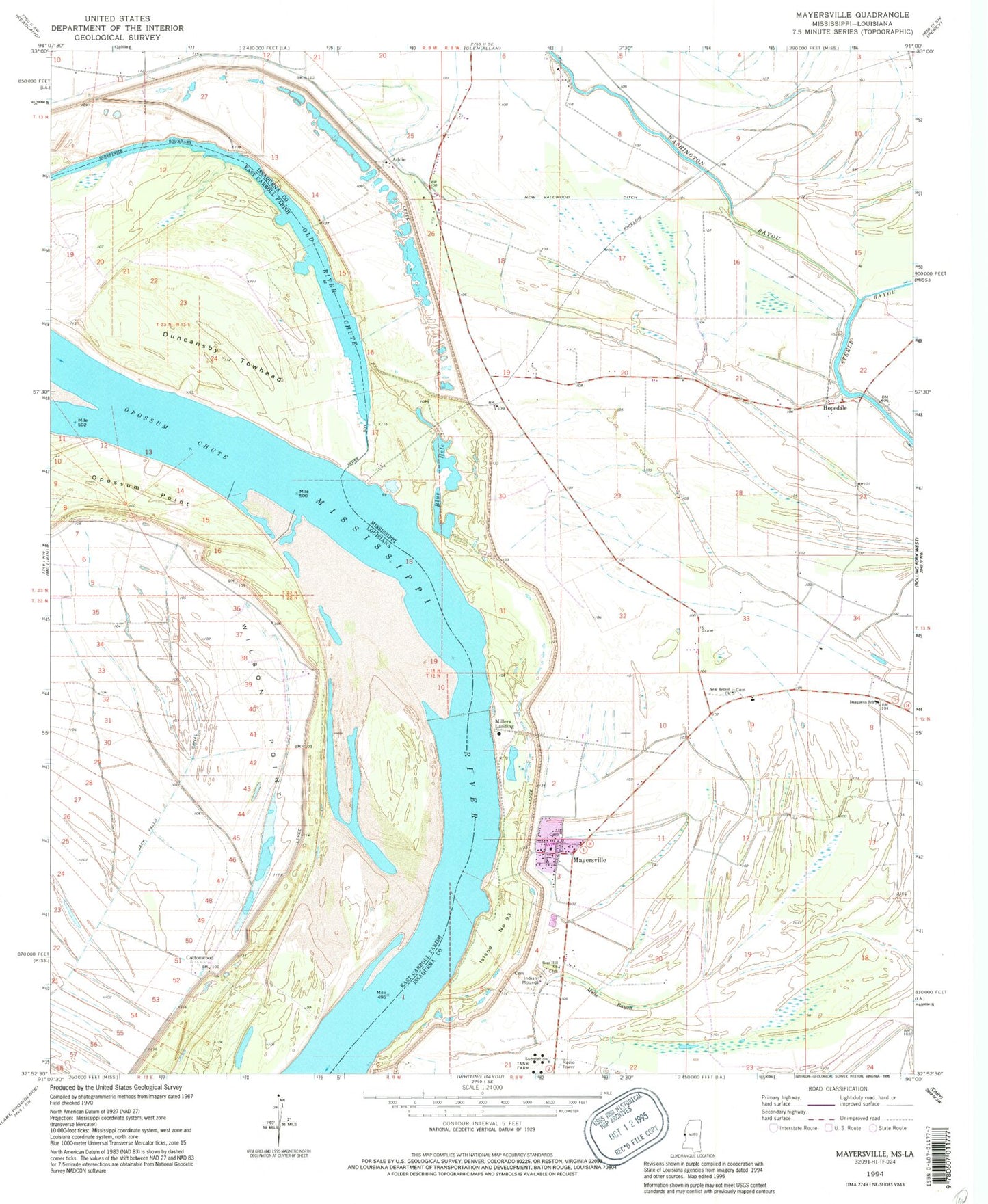
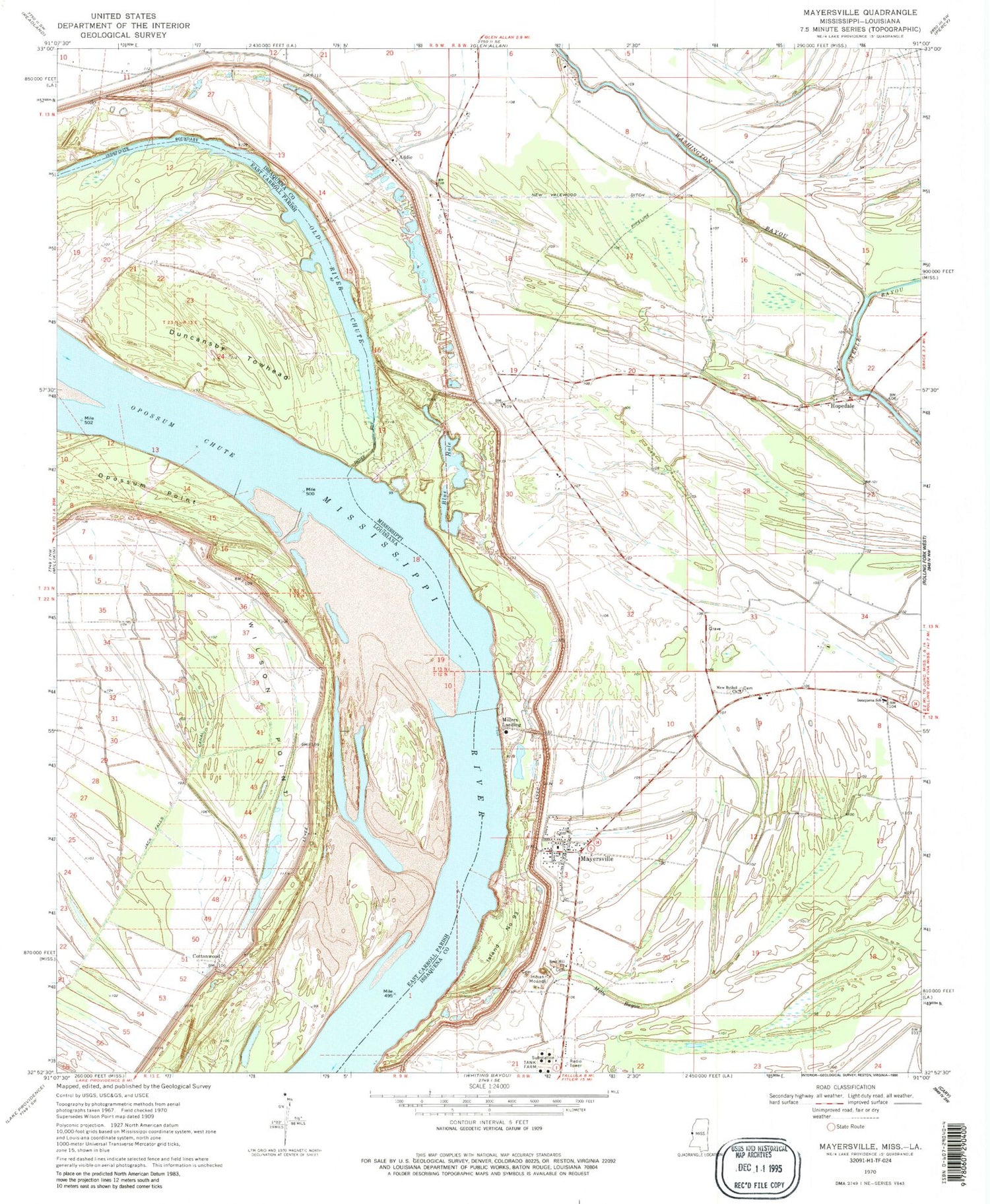
Classic USGS Mayersville Mississippi 7.5'x7.5' Topo Map
Couldn't load pickup availability
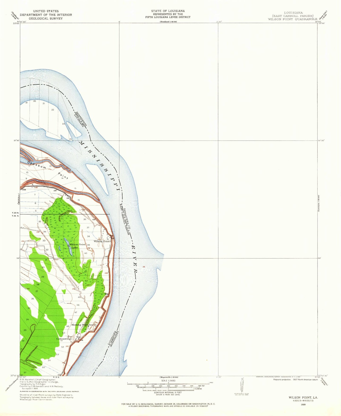
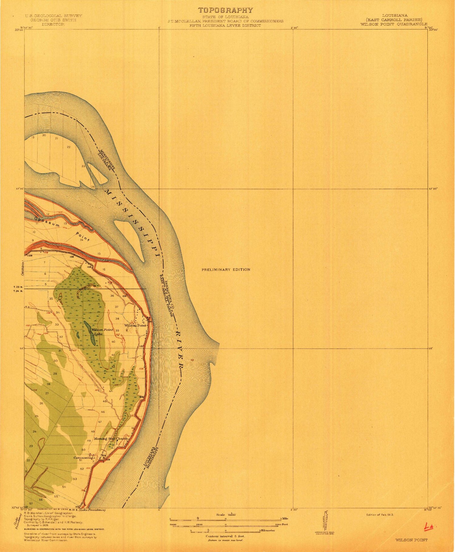
Historical USGS topographic quad map of Mayersville in the states of Mississippi, Louisiana. Map scale may vary for some years, but is generally around 1:24,000. Print size is approximately 24" x 27"
This quadrangle is in the following counties: East Carroll, Issaquena.
The map contains contour lines, roads, rivers, towns, and lakes. Printed on high-quality waterproof paper with UV fade-resistant inks, and shipped rolled.
Contains the following named places: Addie, Ashland, Blue Hole, Browns Landing, Cottonwood, Cottonwood Landing, Duncansby Landing, Duncansby Towhead, Heigle Field Airport, Hopedale, Island Number Ninetythree, Issaquena County Correctional Facility, Issaquena County Courthouse, Issaquena County Fire Department, Issaquena County Sheriff's Office, Issaquena School, Lakeside Ferry, Mayersville, Mayersville Post Office, Millers Landing, Mills Bayou, Morning Star Church, New Bethel Church, New Valewood Ditch, Old River Chute, Opossum Chute, Rose Hill Church, Skipwith Landing, Supervisor District 3, Town of Mayersville, Valewood Landing, Washington Bayou, Wilderness Plantation, Wilson Point, Wilson Point Lake, Wilson Point Landing, ZIP Code: 39113