MyTopo
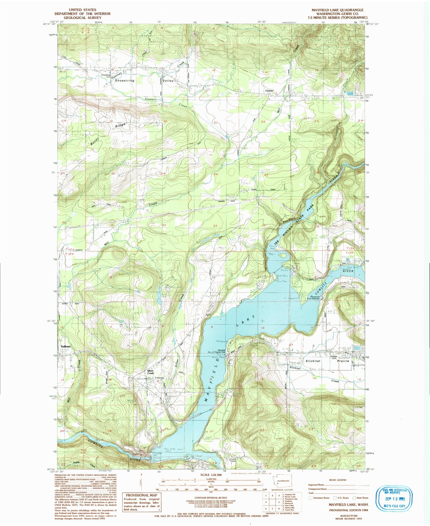
Classic USGS Mayfield Lake Washington 7.5'x7.5' Topo Map
Couldn't load pickup availability
Historical USGS topographic quad map of Mayfield Lake in the state of Washington. Map scale may vary for some years, but is generally around 1:24,000. Print size is approximately 24" x 27"
This quadrangle is in the following counties: Lewis.
The map contains contour lines, roads, rivers, towns, and lakes. Printed on high-quality waterproof paper with UV fade-resistant inks, and shipped rolled.
Contains the following named places: Alpha, Cinebar, Cinebar Post Office, Cinnabar Creek, Cole Creek, Ike Kinswa Campground, Ike Kinswa State Park, Klickitat Cemetery, Klickitat Creek, Klickitat Prairie, Koa Dam Number One, KOA Dam Number Two, Lewis County Fire District 3 Station 3, Lewis County Fire District 8 Station 2, Lewis County Fire District 8 Station 4, Mayfield, Mayfield County Park, Mayfield Dam, Mayfield Lake, Mossyrock Trout Hatchery, Salkum Cemetery, Shoestring Cemetery, Shoestring Valley, Silver Creek, Silver Creek Ponds, Silver Creek Post Office, Stowell Creek, Tilton River, Winston Creek