MyTopo
Classic USGS Mayna Louisiana 7.5'x7.5' Topo Map
Couldn't load pickup availability
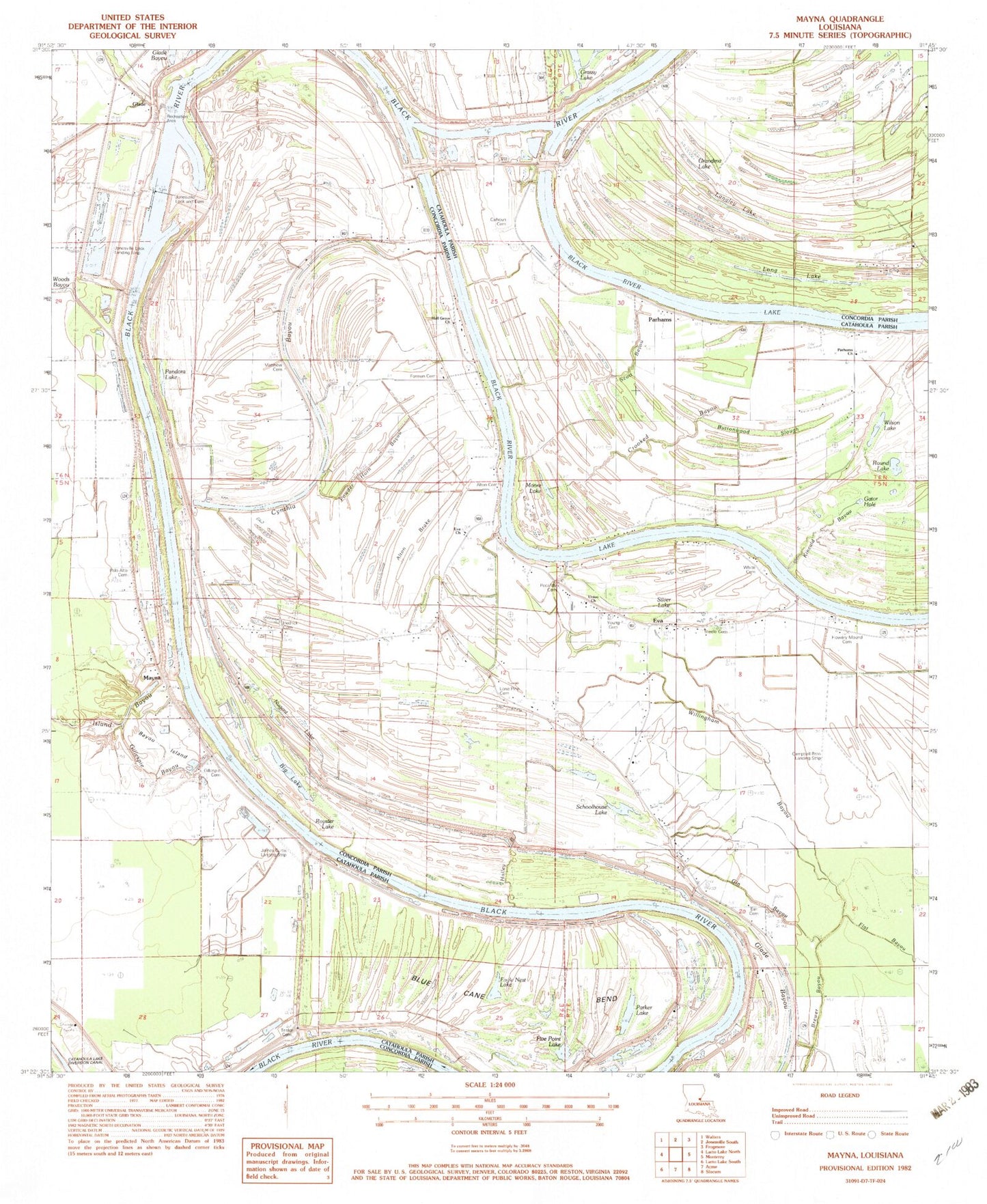
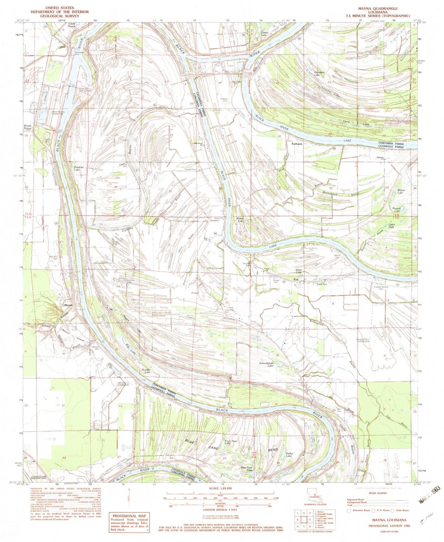
Historical USGS topographic quad map of Mayna in the state of Louisiana. Typical map scale is 1:24,000, but may vary for certain years, if available. Print size: 24" x 27"
This quadrangle is in the following counties: Catahoula, Concordia.
The map contains contour lines, roads, rivers, towns, and lakes. Printed on high-quality waterproof paper with UV fade-resistant inks, and shipped rolled.
Contains the following named places: Alton Brake, Bayou Island, Buttonwood Slough, Crooked Bayou, Cynthia Bayou Church, Eva, Flowery Mound Cemetery, Gator Hole, Gillespie Bayou, Gillespie Cemetery, Gin Bayou, Hall Grove Church, Halley Bayou, Hedrick Cemetery, Kincaid Bayou, Lone Pine Cemetery, Palo Alto Cemetery, Powder Horn Bayou, Scott Bayou, Trisler Cemetery, Union Church, Willingham Bayou, Calhoun Cemetery, Glade, Jonesville Lock and Dam, Blue Cane Bend, Matthew Cemetery, Forman Cemetery, Alton Cemetery, Pecantly Cemetery, Young Cemetery, Steele Cemetery, White Cemetery, Earl Cemetery, Mayna, Alton (historical), Armagh, Campbell Brothers Landing Strip (historical), Flowery Mound (historical), Scott Bayou Oil Field, Silver Lake School (historical), South Cynthia Bayou Oil Field, Cynthia Bayou Oil Field, James Curtis Landing Strip (historical), Jonesville Lock Landing Strip (historical), Parhams Cemetery, Serena, Big Lake, Black River Lake, Crouch Lake, Crowders Lake, Eagle Nest Lake, Five Point Lake, Grandma Lake, Langley Lake, Long Lake, Moore Lake, Nugent Lake, Pandora Lake, Parhams, Parker Lake, Round Lake, Royster Lake, Schoolhouse Lake, Silver Lake, Wilson Lake, Glade Bayou, Jonesville Closure Dam, Cynthia Bayou, Eva Church, Glade Church, Parhams Baptist Church, Serena Post Office (historical), Blount Airport (historical)


