MyTopo
Classic USGS Maynard Texas 7.5'x7.5' Topo Map
Couldn't load pickup availability
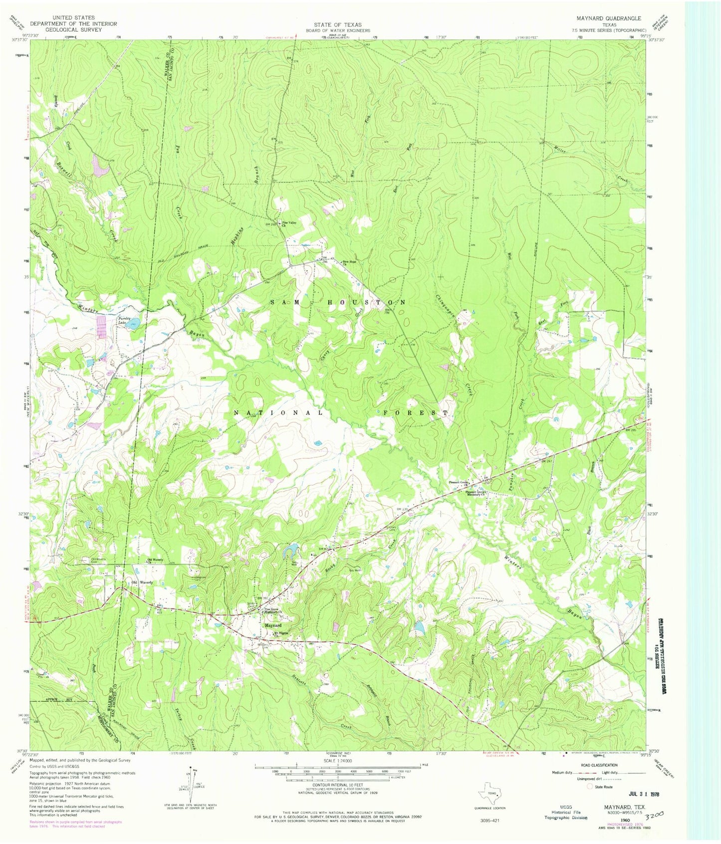
Historical USGS topographic quad map of Maynard in the state of Texas. Typical map scale is 1:24,000, but may vary for certain years, if available. Print size: 24" x 27"
This quadrangle is in the following counties: Montgomery, San Jacinto, Walker.
The map contains contour lines, roads, rivers, towns, and lakes. Printed on high-quality waterproof paper with UV fade-resistant inks, and shipped rolled.
Contains the following named places: Pleasant Grove Missionary Church, Black Branch, Boswell Creek, Brandy Creek, Brickyard Branch, Caney Creek, Chinquapin Creek, East Fork Caney Creek, East Fork Pumpkin Creek, Hargrove Cemetery, Hopkins Branch, Lewis Cemetery, Maynard, Mount Pilgrim Church, New Hope Church, Old Waverly, Old Waverly Cemetery, Old Waverly Church, Pea Creek, Pine Grove Missionary Church, Pine Valley Church, Pleasant Grove Church, Pumpkin Creek, Pursley Lake, Rocky Creek, Scott Cemetery, West Fork Caney Creek, West Fork Pumpkin Creek, Williams Cemetery, Sam Houston National Forest, Big Woods Hunter Camp, A and W Ranch Lake Dam, A and W Ranch Lake, Waverly, Pumpkin, Punkin - Evergreen Volunteer Fire Department


