MyTopo
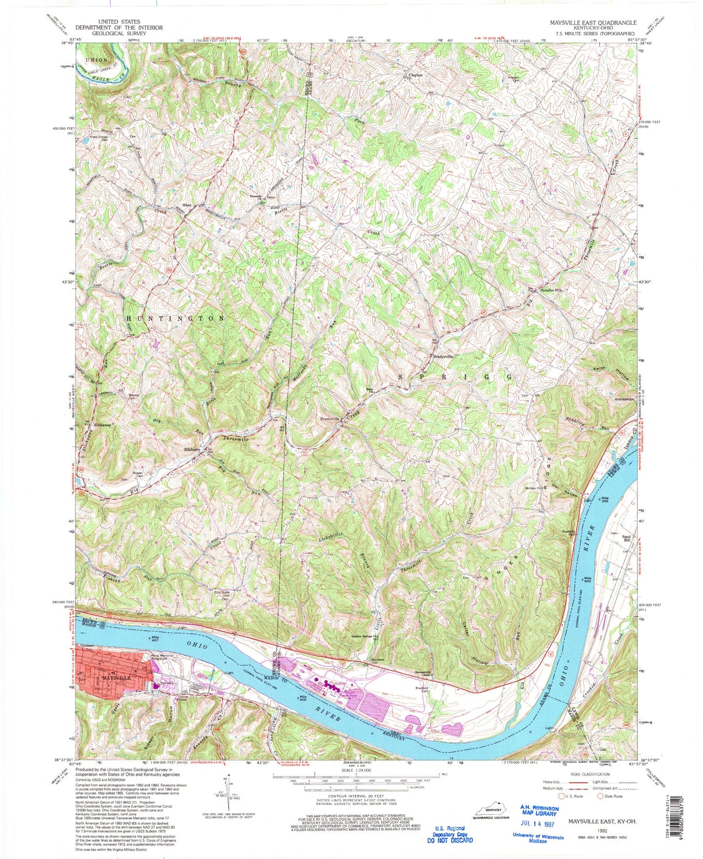
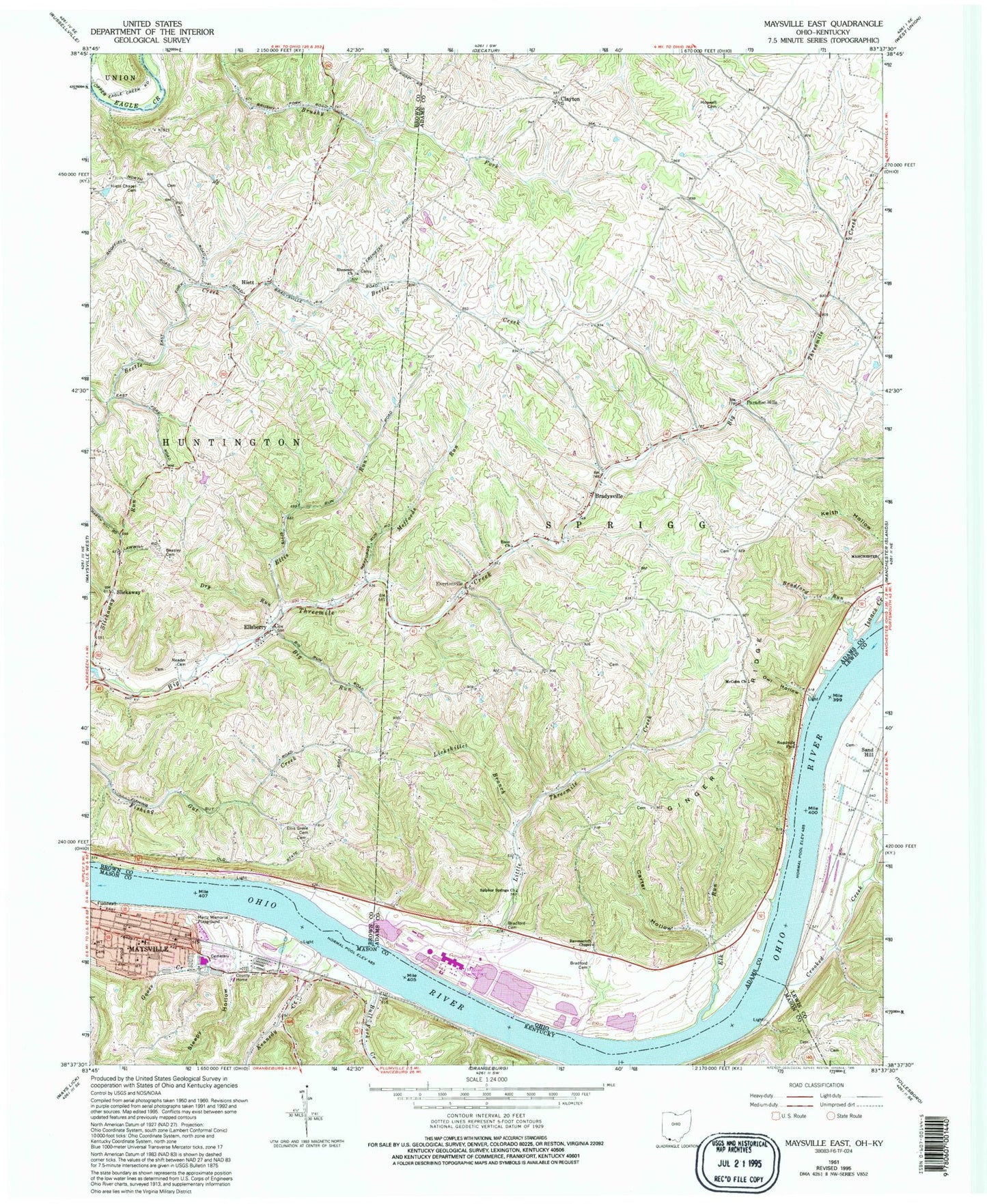
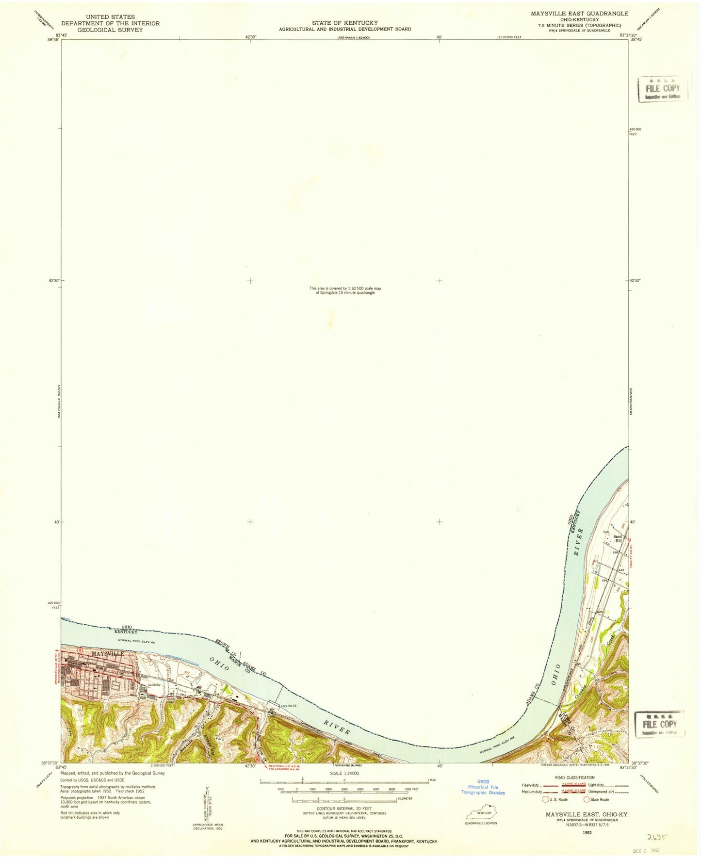
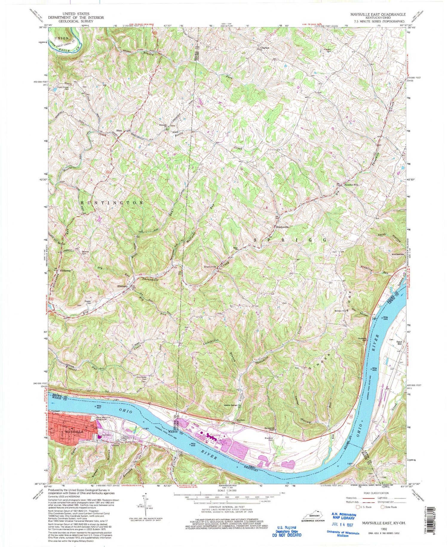
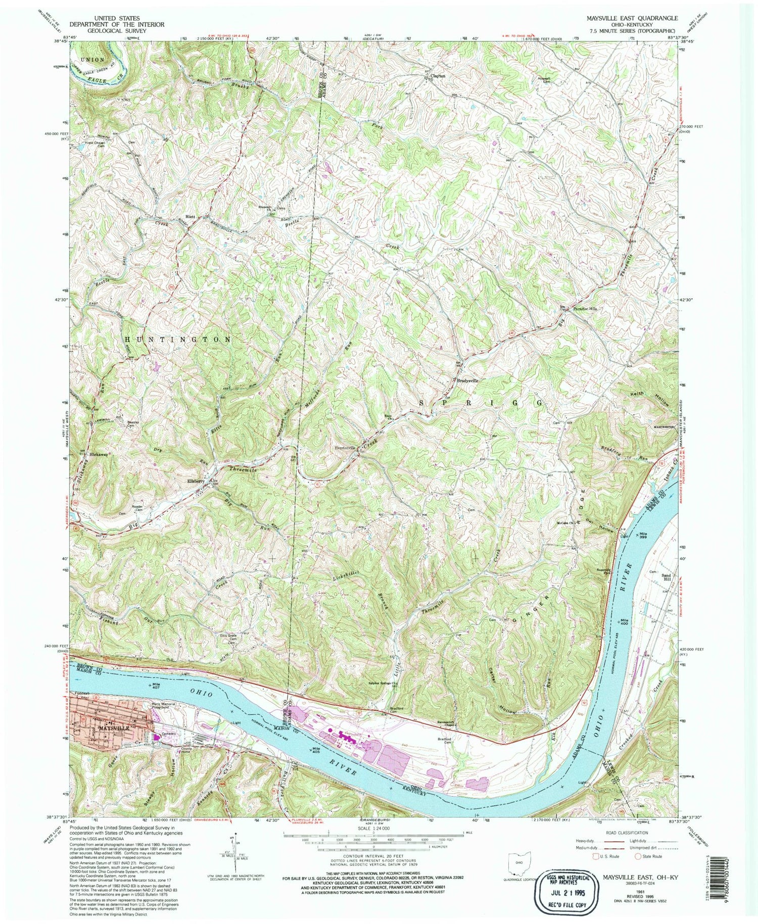
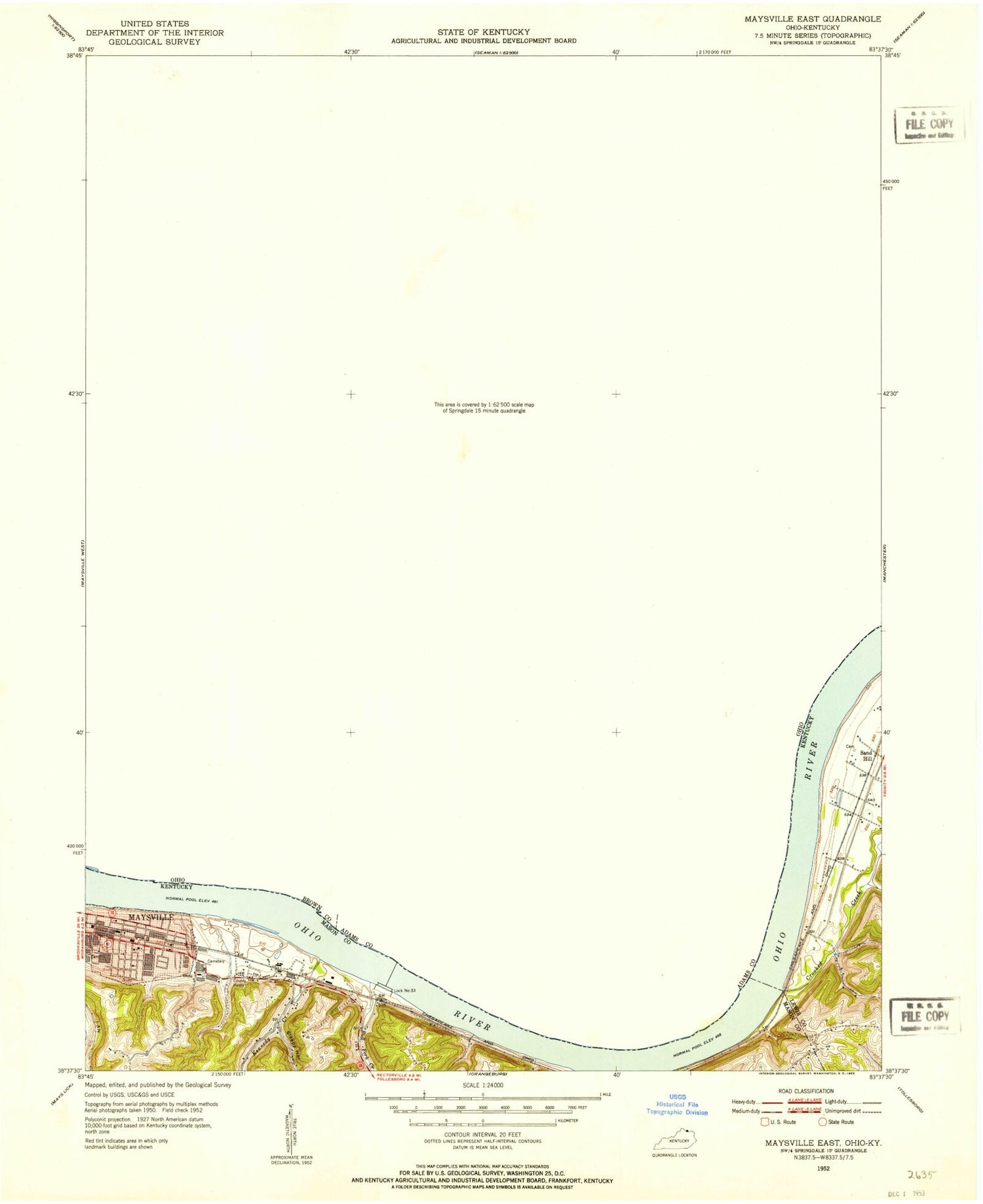
Classic USGS Maysville East Kentucky 7.5'x7.5' Topo Map
Couldn't load pickup availability
Historical USGS topographic quad map of Maysville East in the states of Kentucky, Ohio. Map scale may vary for some years, but is generally around 1:24,000. Print size is approximately 24" x 27"
This quadrangle is in the following counties: Adams, Brown, Lewis, Mason.
The map contains contour lines, roads, rivers, towns, and lakes. Printed on high-quality waterproof paper with UV fade-resistant inks, and shipped rolled.
Contains the following named places: Acacia School, Bates, Beasley Cemetery, Big Run, Bloomhuff School, Bradford Cemetery, Bradford Landing, Bradford Run, Bradysville, Bradyville Post Office, Brooks Bar, Buckes Branch, Bull Fork Creek, Buzzardroost Creek, Carrs Landing, Carter Hollow, Chester Post Office, Clayton, Coopers Landing, Crooked Creek, Dam Number 33, Dayton Power and Light Rescue Squad, Dry Run, Ebenezer Church, Ebenezer Churchyard Cemetery, Elk Run, Ellis Grove Cemetery, Ellis Landing, Ellis Run, Ellis Run School, Ellsberry, Ellsberry Post Office, Emon Church, Evertonville, Games School, Gilbert School, Ginger Ridge, Glendale School, Goose Creek, Grimes Landing, Hamilton School, Hiett, Hiett Chapel Cemetery, Hiett Post Office, Hills School, Holton Landing, Hopewell Cemetery, Hopewell Farm, Isaacs Creek, J M Stuart Power Plant, Kemmeters Landing, Kennedy Creek, Kimballs Landing, Lickskillet Branch, Little Threemile Creek, Lock Number Twenty-Three, Manvels Landing, Maysville, McClelland Run, McColm Church, Meffords Run, Mertz Memorial Playground, Opossum Hollow, Owl Hollow, Owl Hollow Run, Paradise Hills, Parrs Landing, Pollard School, Ravenscroft Chapel, Reader Cemetery, Rogers Landing, Roths Landing, Roush School, Saint Pauls Railroad Station, Sand Hill, School Number 4, Shinns Landing, Sleepy Hollow, Slickaway, Star School, Stone Quarry Landing, Stuart Ash Pit Number 8 Dam, Stuart Ash Pit Number 8 Reservoir, Sulphur Springs Church, The Sand Fills, The Upper Landing, Threemile Creek, Township of Huntington, Township of Sprigg, Wilsons Landing, ZIP Code: 45101
