MyTopo
Classic USGS Maywood Michigan 7.5'x7.5' Topo Map
Regular price
$16.95
Regular price
Sale price
$16.95
Unit price
per
Couldn't load pickup availability
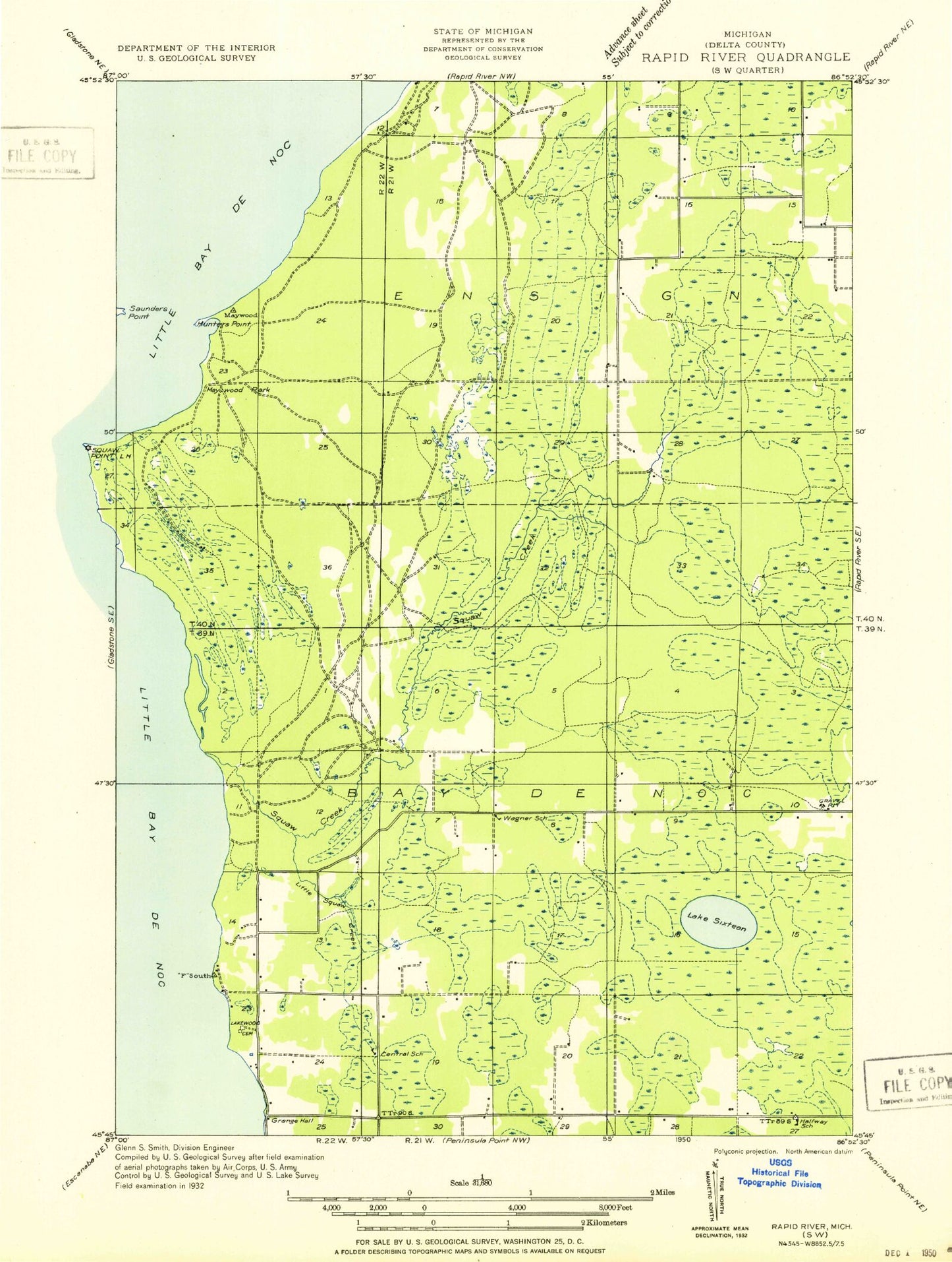
Historical USGS topographic quad map of Maywood in the state of Michigan. Map scale may vary for some years, but is generally around 1:24,000. Print size is approximately 24" x 27"
This quadrangle is in the following counties: Delta.
The map contains contour lines, roads, rivers, towns, and lakes. Printed on high-quality waterproof paper with UV fade-resistant inks, and shipped rolled.
Contains the following named places: Bay De Noc Cemetery, Black George Creek, Hunters Point, Lake Sixteen, Lakewood Cemetery, Little Squaw Creek, Maywood, Maywood Campground, Misery Creek, Slab Dock Campground, Squaw Creek, Stonington Community Hall, Township of Bay de Noc, Township Park, Twin Springs Park