MyTopo
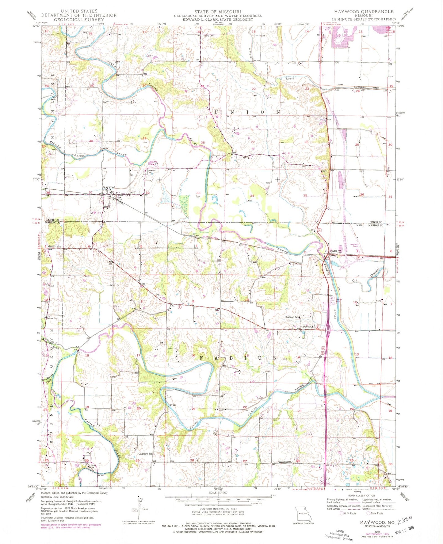
Classic USGS Maywood Missouri 7.5'x7.5' Topo Map
Couldn't load pickup availability
Historical USGS topographic quad map of Maywood in the state of Missouri. Map scale may vary for some years, but is generally around 1:24,000. Print size is approximately 24" x 27"
This quadrangle is in the following counties: Lewis, Marion.
The map contains contour lines, roads, rivers, towns, and lakes. Printed on high-quality waterproof paper with UV fade-resistant inks, and shipped rolled.
Contains the following named places: Bethel Branch, Bimson Dam, C B Keller Lake, Franklin School, Grassy Creek, Haerr Field, Hebron Cemetery, Hebron Church, Hebron School, Keller Lake Dam, Lavingon Dam, Liberty Cemetery, Liberty Church, Liberty School, Maple Lake, Maywood, Maywood Cemetery, Maywood Post Office, Middle Fabius River, North Fabius River, Oakview School, Olivet Church, R - 4 Fire Protection District Station 2 Maywood, Scott School, Shannon School, South Fabius River, Sudduth School, Sunrise Cemetery, Taylor, Taylor Post Office, Township of Fabius, Troublesome Creek, Walnut Grove School