MyTopo
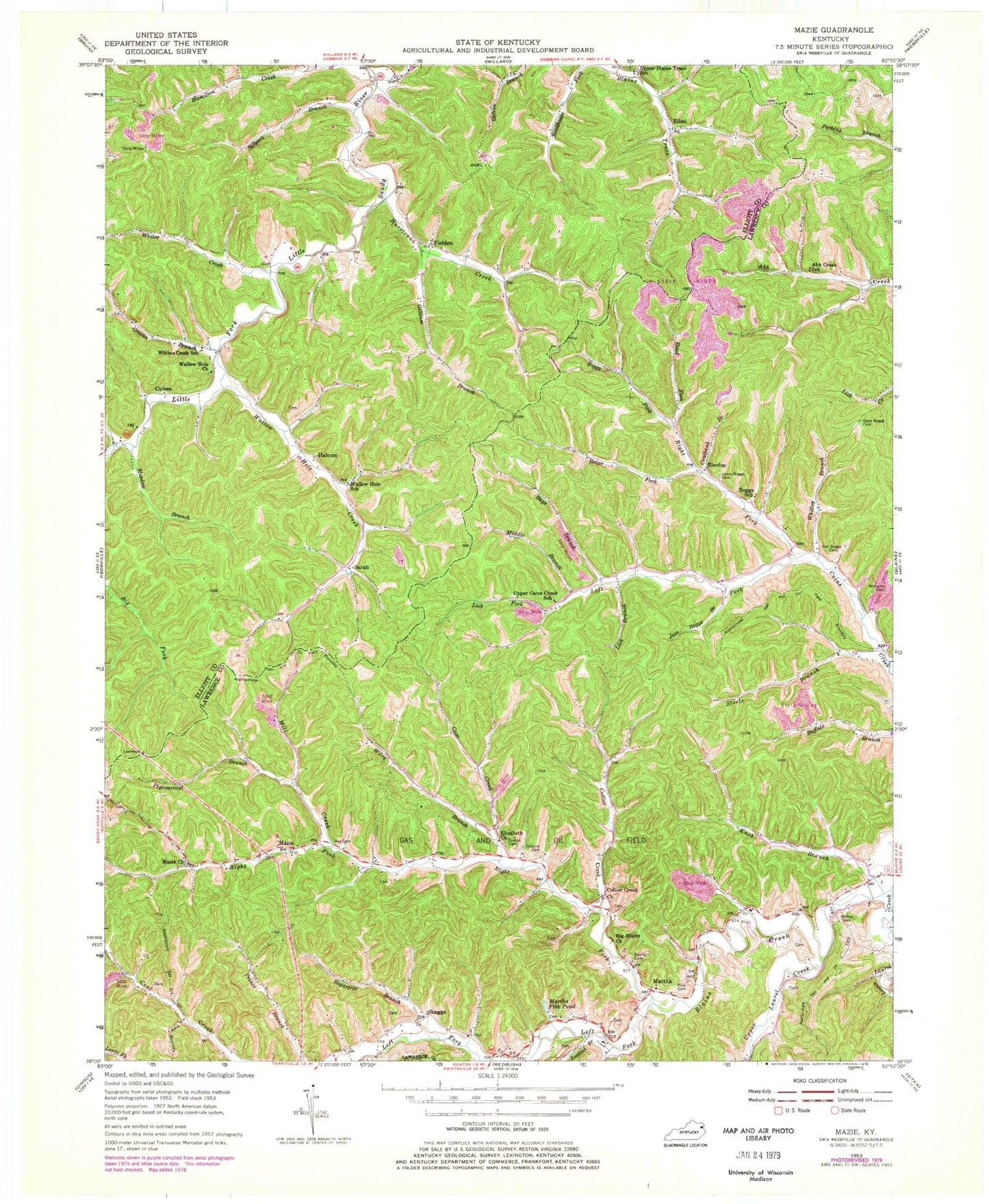
Classic USGS Mazie Kentucky 7.5'x7.5' Topo Map
Couldn't load pickup availability
Historical USGS topographic quad map of Mazie in the state of Kentucky. Map scale may vary for some years, but is generally around 1:24,000. Print size is approximately 24" x 27"
This quadrangle is in the following counties: Elliott, Johnson, Lawrence.
The map contains contour lines, roads, rivers, towns, and lakes. Printed on high-quality waterproof paper with UV fade-resistant inks, and shipped rolled.
Contains the following named places: Abb Creek School, Bays Branch, Big Blaine Church, Bishop Cemetery, Blaine Division, Blaine Volunteer Fire Department, Blaines Trace, Blevins, Blevins Post Office, Boggs Mill, Boggs School, Briar Fork, Cam Creek, Coalbank Branch, Collier Creek, Collier Creek Church, Culver, Culver Post Office, Dave Boggs Cemetery, Dobyns Cemetery, Edsel, Edsel Post Office, Elizabeth Church, Fielden, Fielding Post Office, Gillium Branch, Greens Branch, Halcom, Halcome Post Office, Hay Cemetery, Hillside School, Hurricane Creek, Jason Boggs Cemetery, Jess Boggs Branch, Jim Brown Branch, Knob Branch, Left Fork Blaine Creek, Left Fork Cains Creek, Lick Branch, Lick Fork, Little Fork, Lostlick Branch, Lower Laurel Creek, Martha, Martha Fish Pond, Martha Post Office, Martha School, Mazie, Mazie Church, Mazie Post Office, Meadow Branch, Middle Branch Left Fork Cains Creek, Mill Creek, Mud Lick, Nichols Fork, Pigeonroost Branch, Ran Boggs Cemetery, Rice Cemetery, Riggs Fork, Right Fork Blaine Creek, Right Fork Cains Creek, Rock House Fork, Rood Fork, Sacred Wind Post Office, Salyers Branch, Sarah, Sarah Post Office, Shop Branch of Blaine, Skaggs, Skaggs Post Office, Sparks Cemetery, Spring Branch, Steels Branch, Sugartree Branch, Upper Blaine Trace School, Upper Cains Creek School, Upper Laurel Creek, Wallow Hole Church, Wallow Hole Creek, Wallow Hole School, Whites Creek, Whites Creek School, Whitley Branch, Wiley Branch, Williams Cemetery, ZIP Code: 41159


