
MyTopo
Classic USGS Mazon Illinois 7.5'x7.5' Topo Map
Couldn't load pickup availability
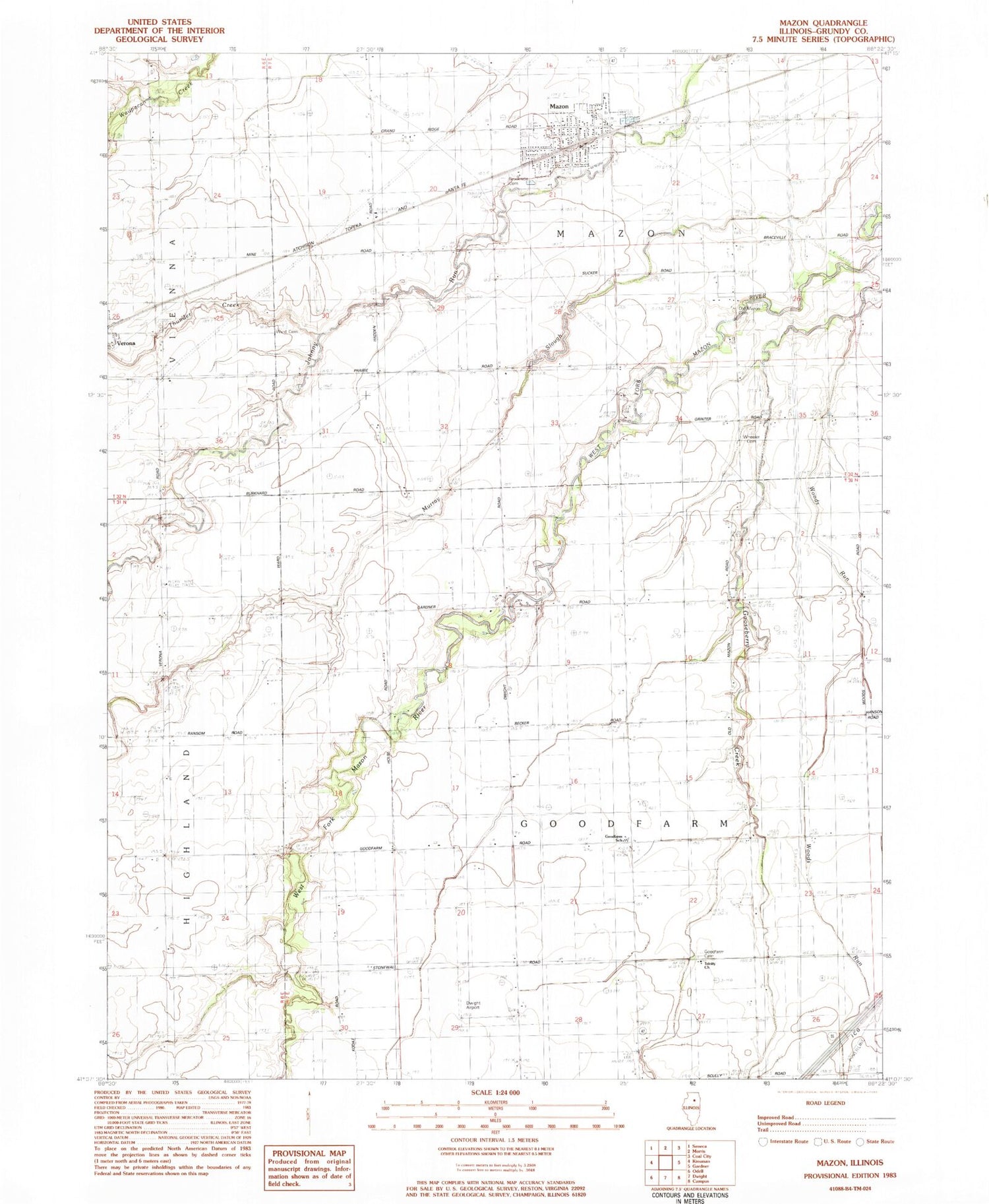
Historical USGS topographic quad map of Mazon in the state of Illinois. Map scale may vary for some years, but is generally around 1:24,000. Print size is approximately 24" x 27"
This quadrangle is in the following counties: Grundy.
The map contains contour lines, roads, rivers, towns, and lakes. Printed on high-quality waterproof paper with UV fade-resistant inks, and shipped rolled.
Contains the following named places: Brookside Cemetery, Curtain School, Dwight Airport, Goodfarm Cemetery, Goodfarm School, Hamilton School, Highland Town, Lanphere School, Lea School, Maxwell School, Mazon, Mazon Community Fire Department, Mazon Police Department, Mazon Post Office, Mazon-Verona-Kinsman Elementary School, Mazon-Verona-Kinsman Middle School, MVK Ambulance Service, Old Mazon Cemetery, Old Mazon School, Parker School, Thunder Creek, Township of Goodfarm, Township of Mazon, Trinity Church, Village of Mazon, Ward Cemetery, Wheeler Cemetery, Woods Run, ZIP Code: 60444


