MyTopo
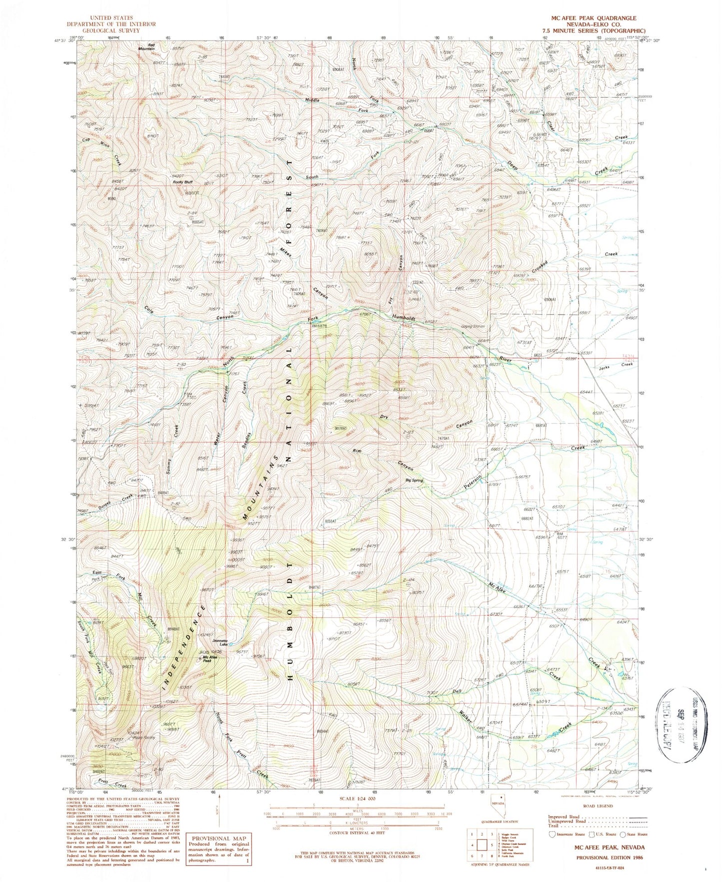
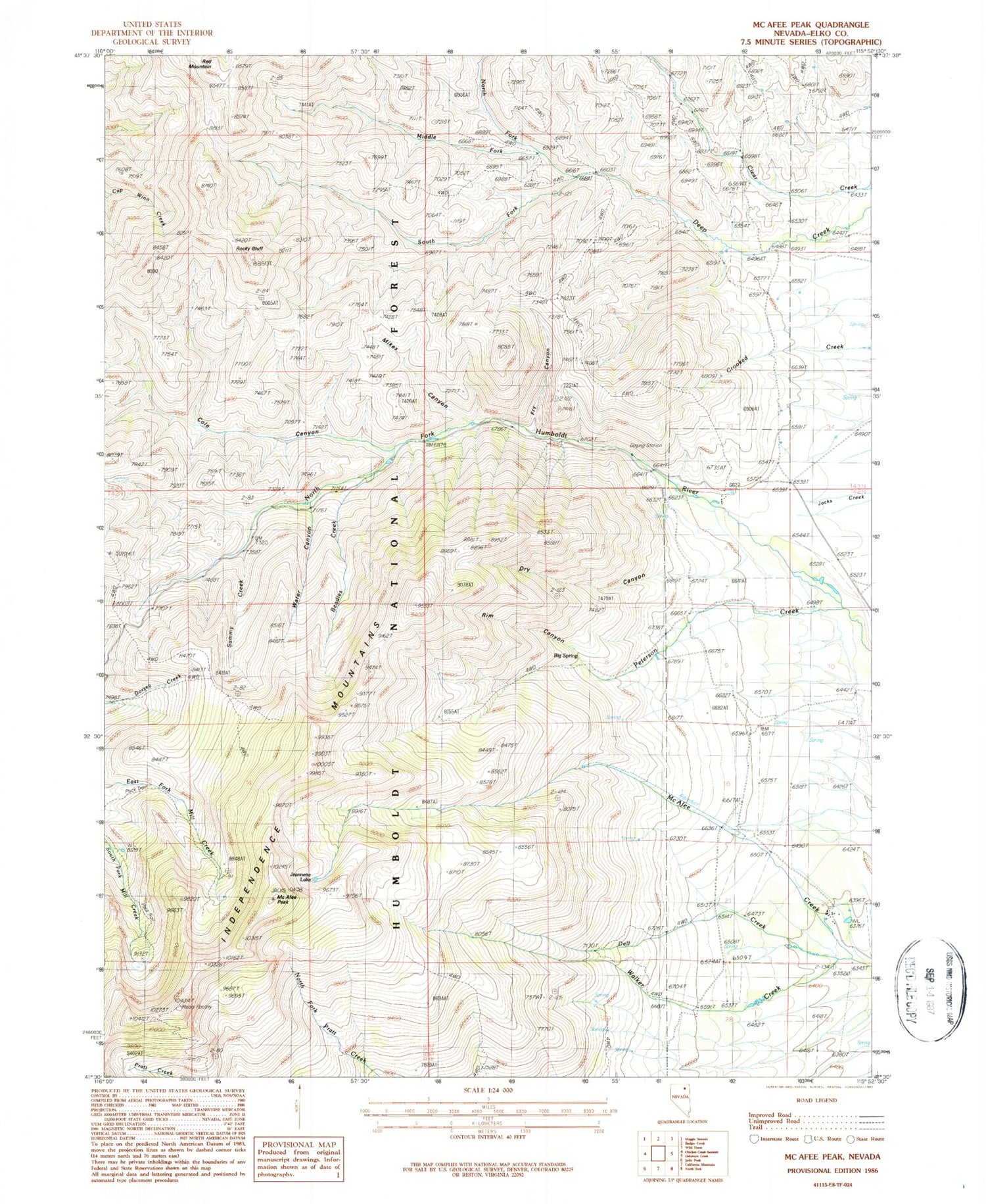
Classic USGS McAfee Peak Nevada 7.5'x7.5' Topo Map
Couldn't load pickup availability
Historical USGS topographic quad map of McAfee Peak in the state of Nevada. Typical map scale is 1:24,000, but may vary for certain years, if available. Print size: 24" x 27"
This quadrangle is in the following counties: Elko.
The map contains contour lines, roads, rivers, towns, and lakes. Printed on high-quality waterproof paper with UV fade-resistant inks, and shipped rolled.
Contains the following named places: Big Spring Creek, Beadles Creek, Big Spring, Cole Canyon, Dell Creek, Doheny Ranch, Dry Canyon, Fry Canyon, Jeannette Lake, McAfee Peak, Middle Fork Deep Creek, Mikes Canyon, North Fork Deep Creek, North Fork Guard Station, Peterson Creek, Rim Canyon, Rocky Bluff, Sammy Creek, South Fork Deep Creek, Spring Creek Ranch, Stevens Ranch, Walker Creek, Water Canyon, Red Mountain, Northfork Campgrounds, North Fork Jack Creek Summit, Cole Creek, Big Springs Mine, Big Springs Mill