MyTopo
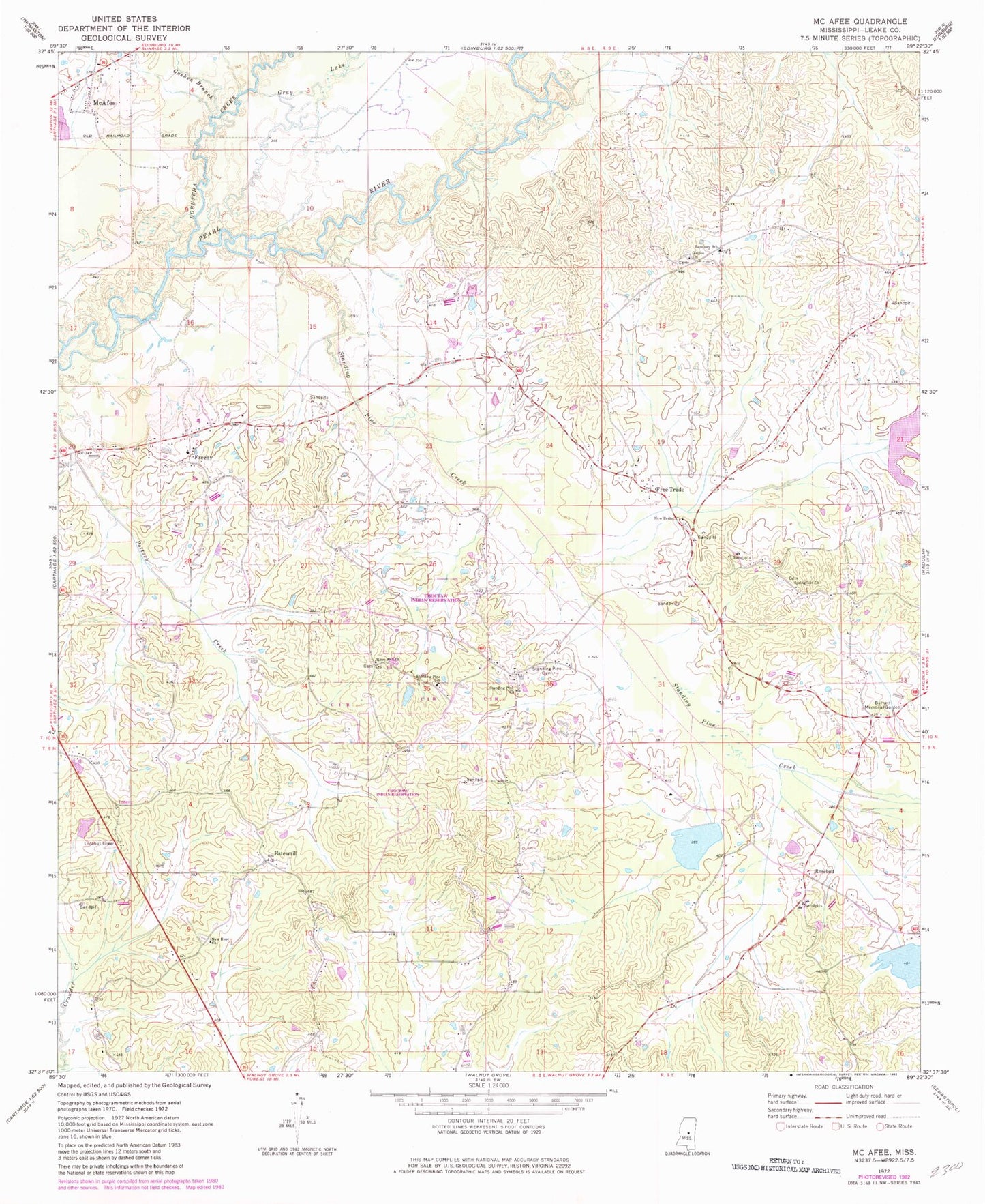
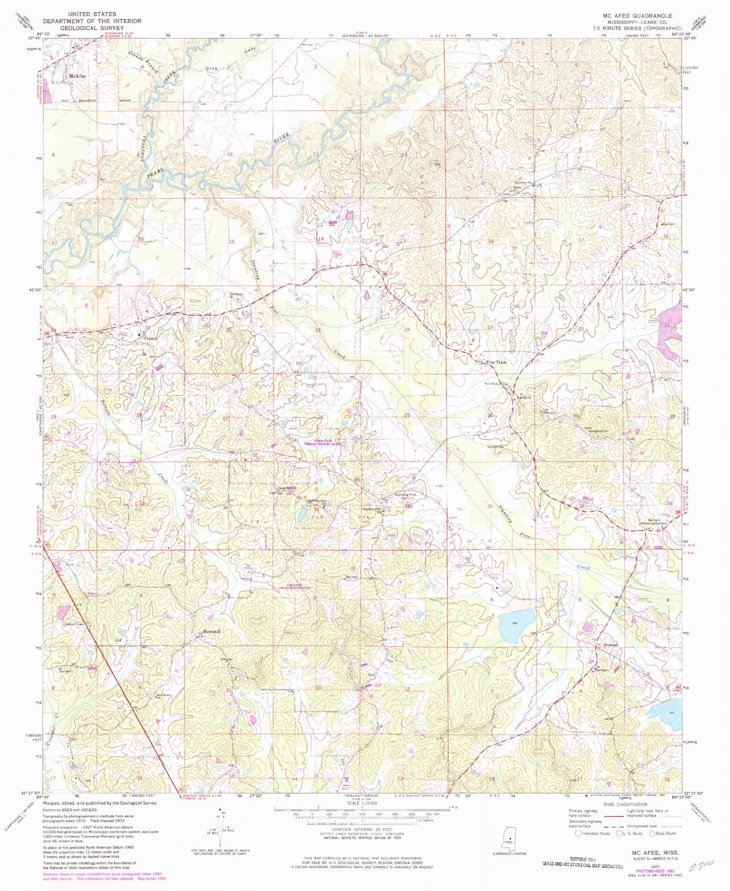
Classic USGS McAfee Mississippi 7.5'x7.5' Topo Map
Couldn't load pickup availability
Historical USGS topographic quad map of McAfee in the state of Mississippi. Map scale may vary for some years, but is generally around 1:24,000. Print size is approximately 24" x 27"
This quadrangle is in the following counties: Leake.
The map contains contour lines, roads, rivers, towns, and lakes. Printed on high-quality waterproof paper with UV fade-resistant inks, and shipped rolled.
Contains the following named places: Arnells Mill, Barnett Memorial Garden, Bennetts Store, Boyds Ferry, Coy Watkins Catfish Ponds Dam, Estesmill, Free Trade, Free Trade Church of God, Freeny, Freeny Baptist Church, Freeny Cemetery, Freeny Methodist Church, Galilee Cemetery, Galilee Church, Galilee Missionary Baptist Church, Goshen Branch, Gray Lake, Harmony, Harmony School, Hope Well Church, Hopewell Cemetery, Indian Agency Pond Dam, J E Upton Junior Catfish Pond Dam, Lobutcha Creek, McAfee, Mississippi Forestry Commission Leake Fire Tower, New Bethel Church, New Hope Baptist Church, New Hope Cemetery, Rosebud, Shackolo Cemetery, Springfield Cemetery, Springfield Church, Standing Pine, Standing Pine Cemetery, Standing Pine Census Designated Place, Standing Pine Church, Standing Pine Creek, Standing Pine School, Standing Pine Watershed Structure 5 Dam, Standing Pine Watershed Structure 9 Dam, Supervisor District 5


