MyTopo
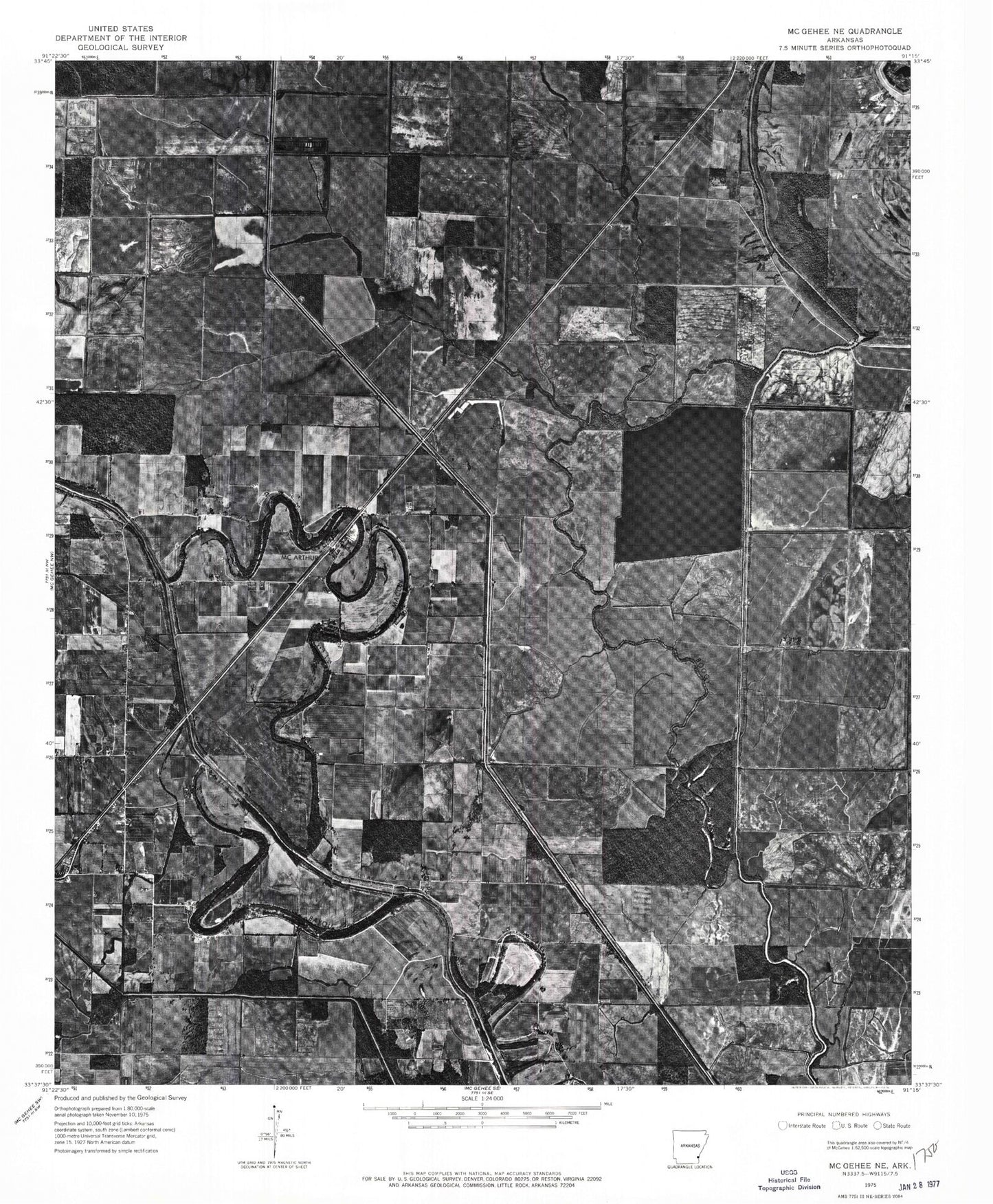
Classic USGS McArthur Arkansas 7.5'x7.5' Topo Map
Couldn't load pickup availability
Historical USGS topographic quad map of McArthur in the state of Arkansas. Map scale may vary for some years, but is generally around 1:24,000. Print size is approximately 24" x 27"
This quadrangle is in the following counties: Desha.
The map contains contour lines, roads, rivers, towns, and lakes. Printed on high-quality waterproof paper with UV fade-resistant inks, and shipped rolled.
Contains the following named places: Big Slough, Boggy Bayou, Bogota, Canal Number 16, Canal Number 43, Lake Isaacs, Macedonia Church, McArthur, McArthur Cemetery, McArthurs Friends Church, Middle Coon Bayou, Mount Zion Church, Opossum Fork, Palestine Cemetery, Palestine Church, Sims Chapel, Township of Clayton, Warrington Cemetery, Wolff Project School