MyTopo
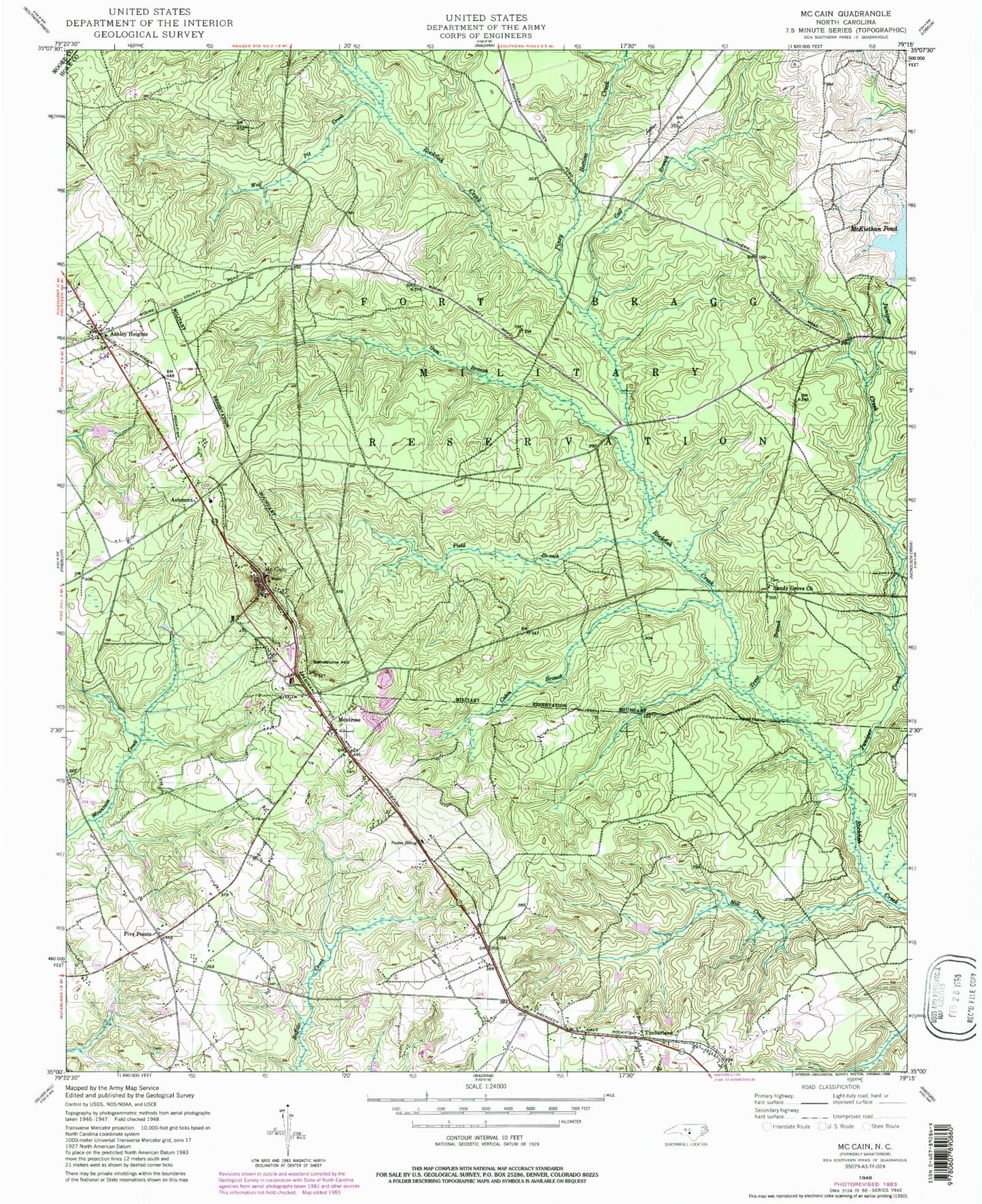
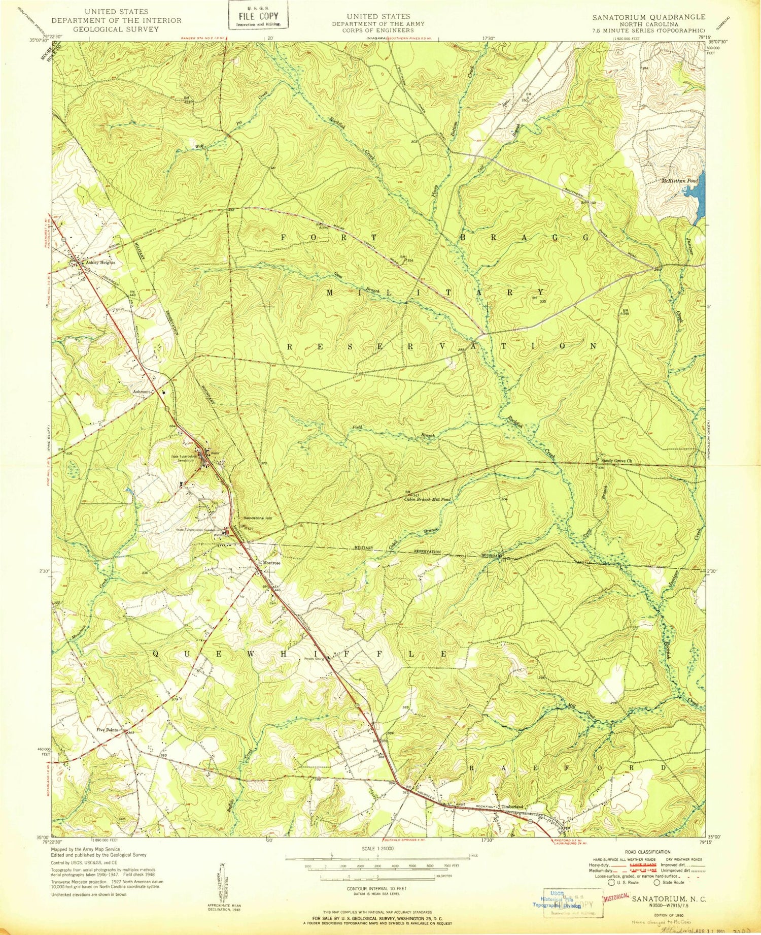
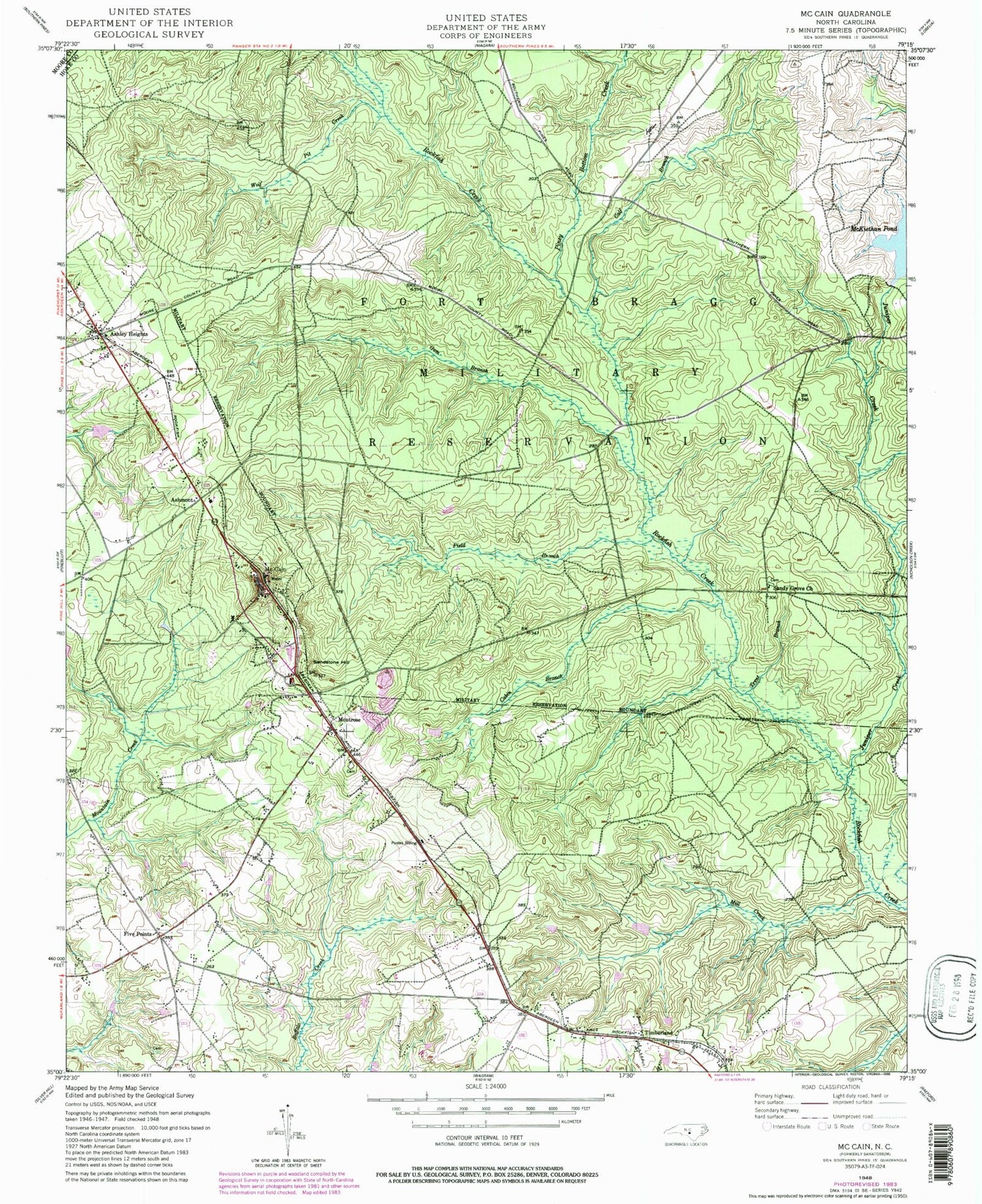
Classic USGS McCain North Carolina 7.5'x7.5' Topo Map
Couldn't load pickup availability
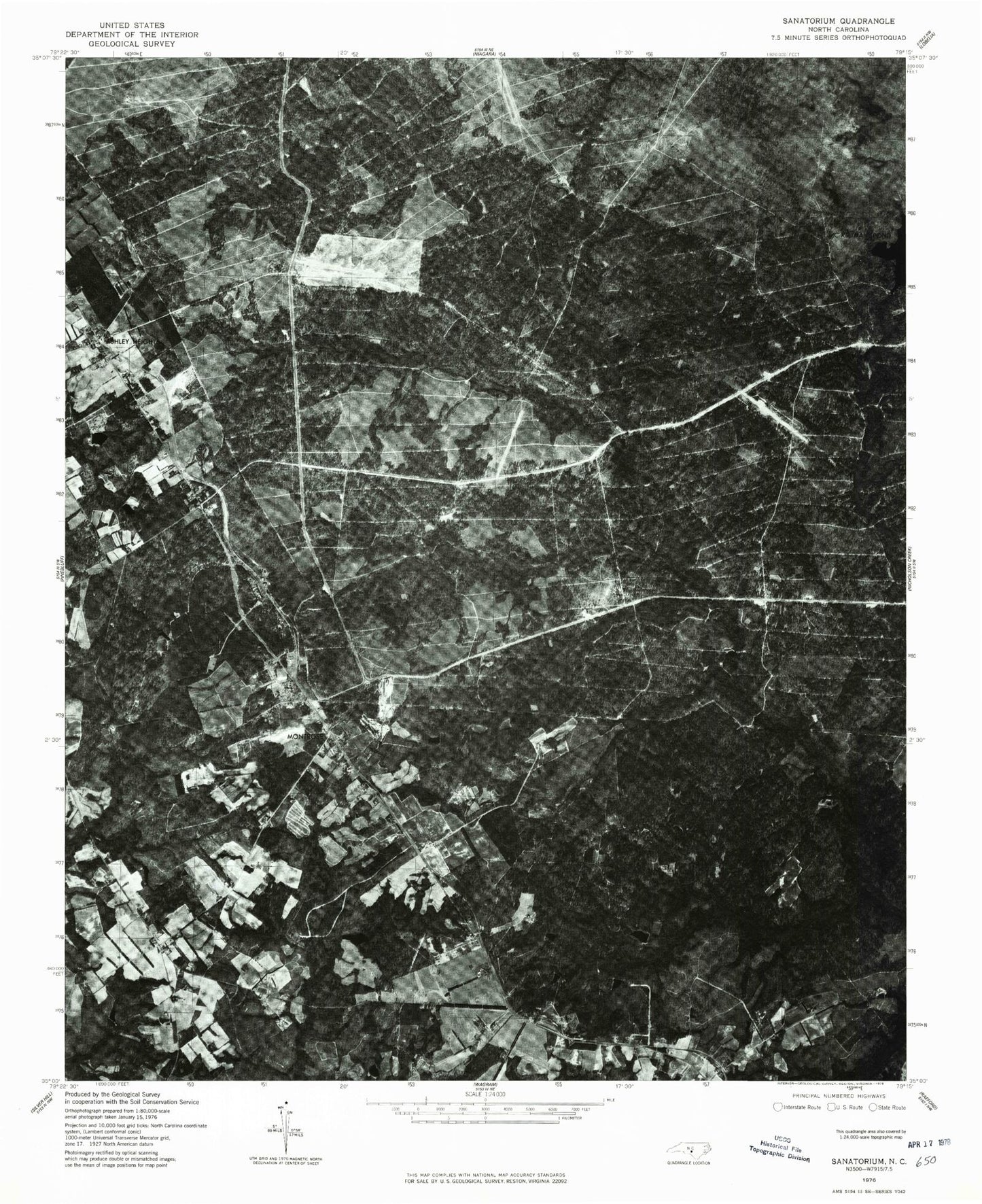
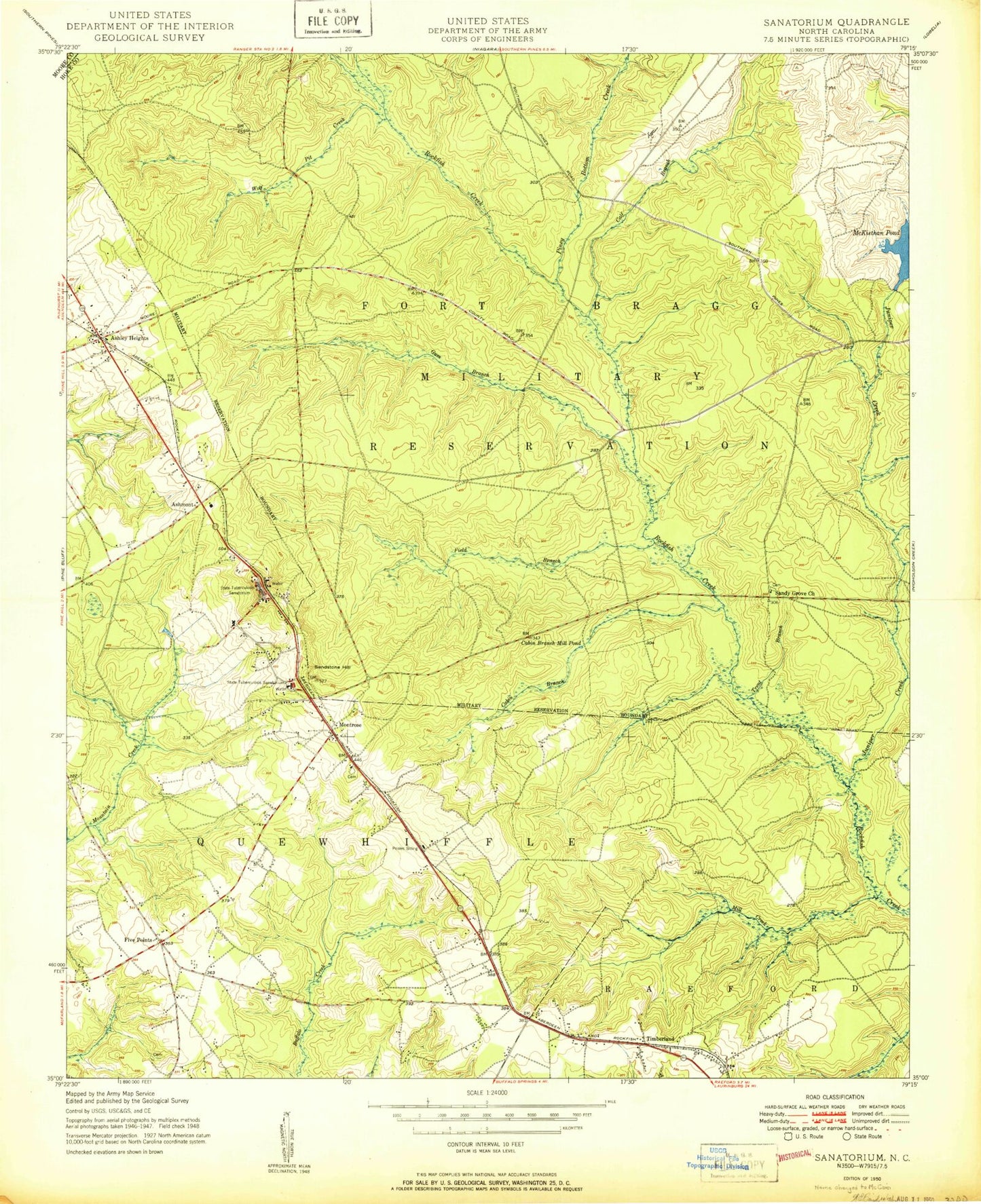
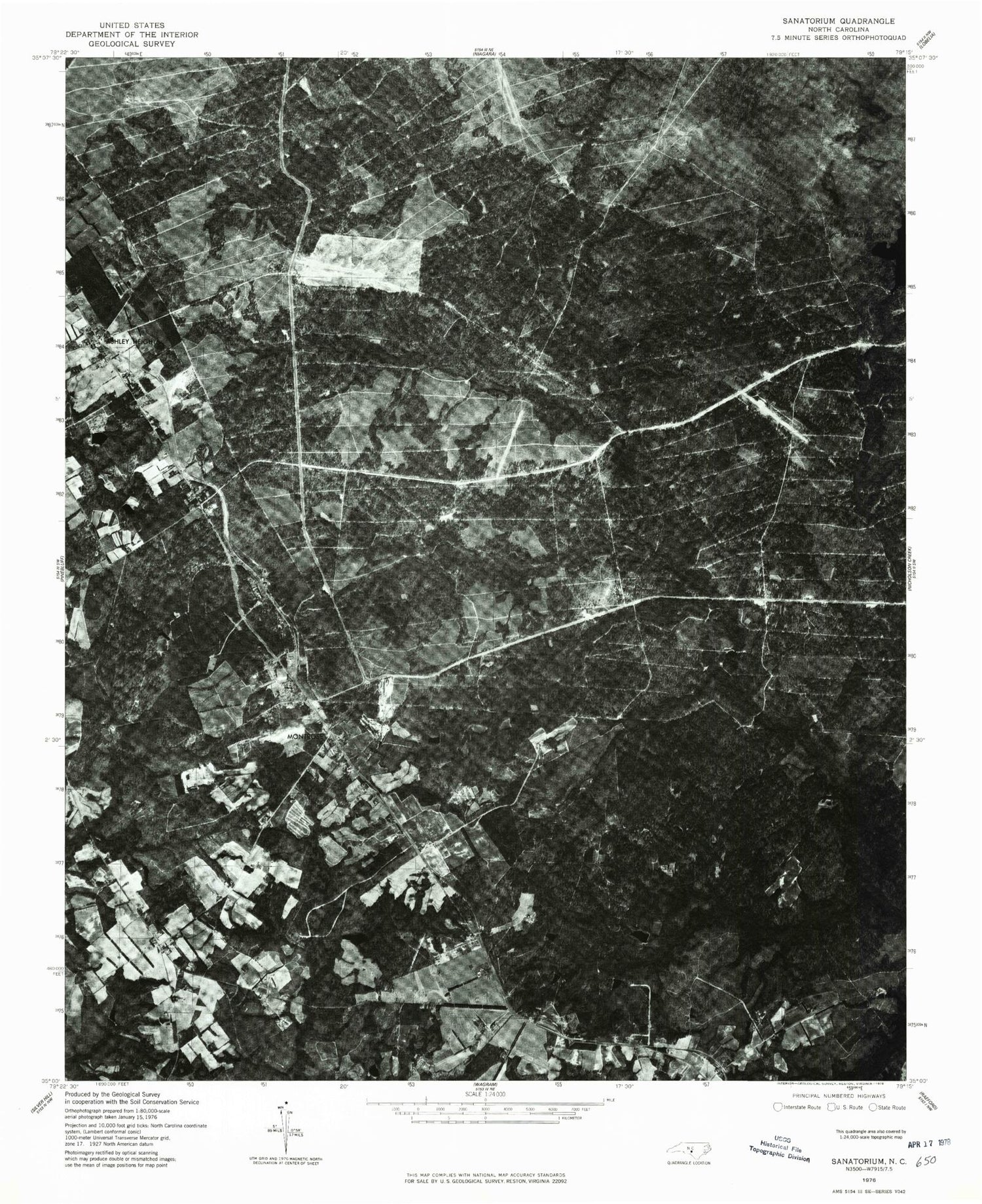
Historical USGS topographic quad map of McCain in the state of North Carolina. Map scale may vary for some years, but is generally around 1:24,000. Print size is approximately 24" x 27"
This quadrangle is in the following counties: Hoke, Moore.
The map contains contour lines, roads, rivers, towns, and lakes. Printed on high-quality waterproof paper with UV fade-resistant inks, and shipped rolled.
Contains the following named places: Ashley Heights, Ashley Heights Census Designated Place, Ashmont, Cabin Branch, Cabin Branch Mill Pond, Calf Branch, Field Branch, Five Points, Five Points Census Designated Place, Graham City Lake Number One, Graham City Lake Number One Dam, Gum Branch, Hoke Correctional Institution, Juniper Creek, McCain, McKiethan Pond, Mill Creek, Montrose, NC Noname Thirty-Six Dam, Piney Bottom Creek, Pooles Siding, Sandstone Hill, Sandy Grove Church, Timberland, Township of Quewhiffle, Trent Branch, Viking Airport, Wolf Pit Creek