MyTopo
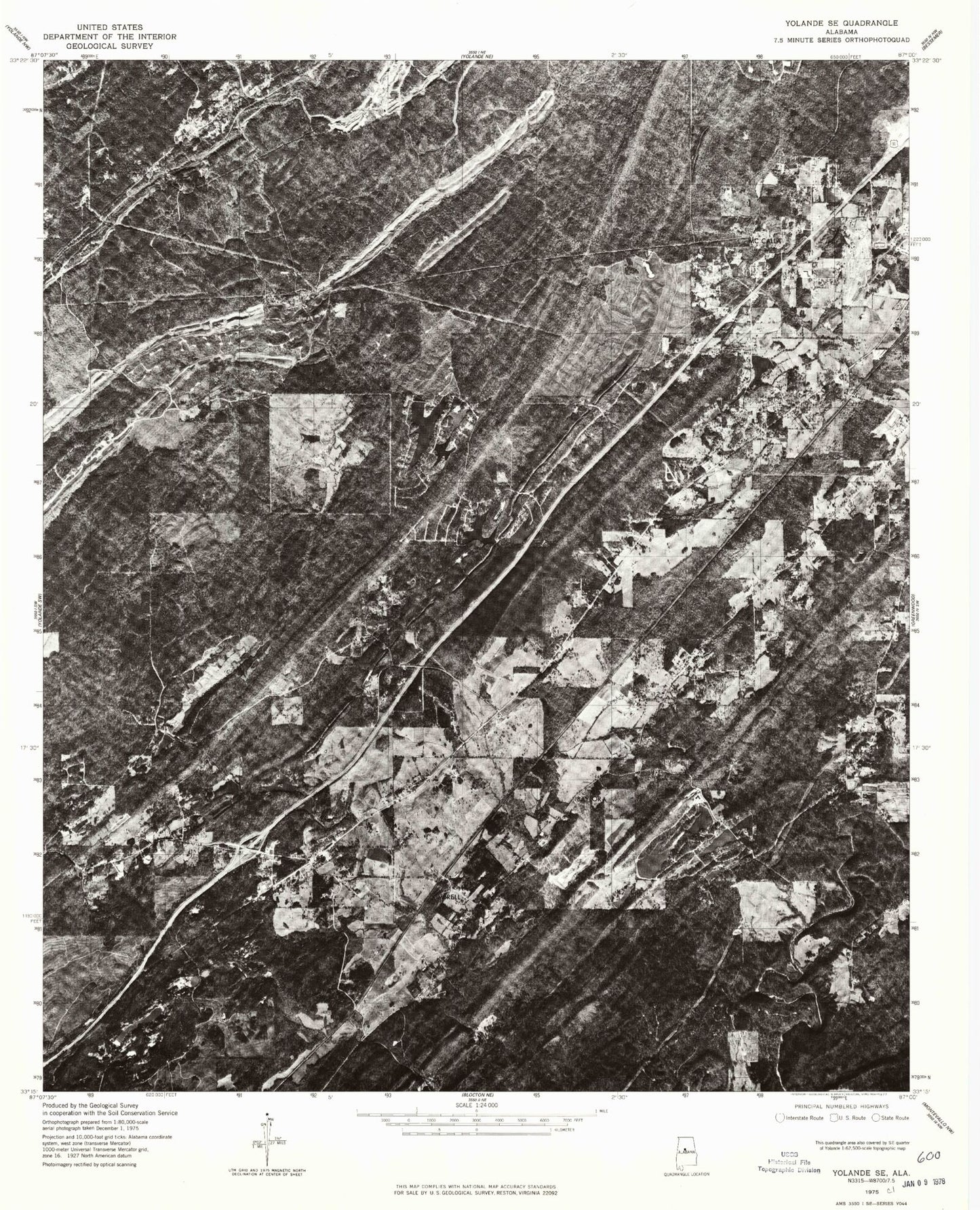
Classic USGS McCalla Alabama 7.5'x7.5' Topo Map
Couldn't load pickup availability
Historical USGS topographic quad map of McCalla in the state of Alabama. Map scale may vary for some years, but is generally around 1:24,000. Print size is approximately 24" x 27"
This quadrangle is in the following counties: Jefferson, Tuscaloosa.
The map contains contour lines, roads, rivers, towns, and lakes. Printed on high-quality waterproof paper with UV fade-resistant inks, and shipped rolled.
Contains the following named places: Antioch Baptist Church, Baylor, Baylor Lake, Baylor Lake Dam, Bellview Church, Big Griffin Lake, Black Diamond, Black Diamond Lake Dam, Blue Creek, Blue Creek Lake Dam, Blue Creek Mine, Bucksville, Bucksville Cemetery, Bucksville School, Burnt Bridge Branch, Camp Nawaka, Chinn, Cloester Valley, Coleman Lakes, Coleman Lakes Number 1 Dam, Confederate Hill Estates, Cooley Creek, Cox Spring Branch, Davis, Ellis Lake, Ellis Lake Dam, Faith School, First Baptist Church of Bucksville, Flint Hill, Frawley, Getmore Number 2 Mine, Gilbert Thomas Lake, Gilbert Tommie Lake Dam, Gilbert Tommie Number 2 Dam, Gitmore Mines, Goethite, Green Isle Country Club, Griffin Lakes, Hicks Spring, Indian Gap Lake, Indian Gap Lake Dam, Johns, Johns Elementary School, Johnson Lake, Jones Valley, Kimbrell, Kimbrell Lake Dam, Lake Griffin Dam, Lake View Police Department, Lakeview Fire Department Station 2, Lawsontown, Lick Branch, Lincoln Cemetery, Little Griffin Lake, Lowetown, Marvin Chapel Cemetery, McAdory Elementary School, McAdory Fire and Rescue Station 2, McAdory High School, McAshan Mountain, McCalla, McCalla Area Fire District Station 1, McCalla Area Fire District Station 2, McCalla Baptist Church, McCalla Census Designated Place, McCalla Chapel, McCalla Lake Dam, McCalla Post Office, McCalla Station, McKelveys Lakes, McNaths, Mill Creek, Moore Brook, Nail Gap, Norman Fountain Dam, Norman Fountain Lake, North Johns, North Johns Volunteer Fire and Rescue, Norwood Gap, Old Blue Creek Church, Osways Mine, Pauline Fletcher Camp, Pine Hill Cemetery, Pine View Lake, Red Hill Heights, Red Ridge, Reno Lake, Rock Lakes, Rock Mountain, Rockview Lake, Saint Luke Church, Serene Lake Number 1, Serene Lake Number 1 Dam, Shades Valley, Slurry Impoundment - Johns Washer, Slurry Impoundment - Johns Washer Dam, Suck Branch, Tannehill, Tannehill State Park, Tannehill Valley Estates, Tannehill Valley Lake, Tannehill Valley Lake Dam, Town of North Johns, West Red Mountain, ZIP Code: 35111