MyTopo
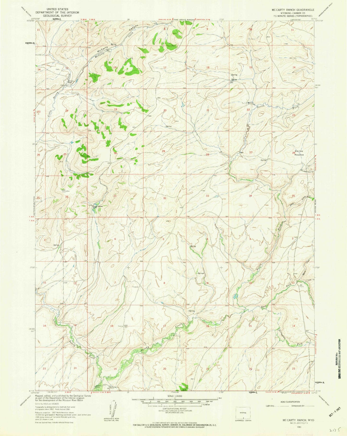
Classic USGS McCarty Ranch Wyoming 7.5'x7.5' Topo Map
Regular price
$16.95
Regular price
Sale price
$16.95
Unit price
per
Couldn't load pickup availability
Historical USGS topographic quad map of McCarty Ranch in the state of Wyoming. Map scale may vary for some years, but is generally around 1:24,000. Print size is approximately 24" x 27"
This quadrangle is in the following counties: Carbon.
The map contains contour lines, roads, rivers, towns, and lakes. Printed on high-quality waterproof paper with UV fade-resistant inks, and shipped rolled.
Contains the following named places: Deep Gulch, Dirtyman Fork, East Fork Savery Creek, Fence V A B M, Hartt Creek, High Savery Dam, High Savery Reservoir, Little Savery Creek, McCarty Canyon, McCarty Creek, McCarty Ranch, North Fork Savery Creek, Smiley Meadow, Sundin Johnson Ranch, Truckdrivers Creek