MyTopo
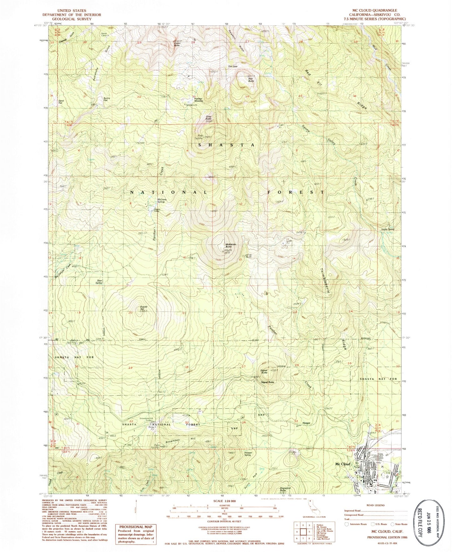
Classic USGS McCloud California 7.5'x7.5' Topo Map
Couldn't load pickup availability
Historical USGS topographic quad map of McCloud in the state of California. Typical map scale is 1:24,000, but may vary for certain years, if available. Print size: 24" x 27"
This quadrangle is in the following counties: Siskiyou.
The map contains contour lines, roads, rivers, towns, and lakes. Printed on high-quality waterproof paper with UV fade-resistant inks, and shipped rolled.
Contains the following named places: Avalanche Gulch, Bear Spring, Bunny Flat, Everitt Hill, Gray Butte, Intake Spring, McGinnis Springs, McKenzie Butte, Panther Meadow, Red Fir Ridge, Sand Flat, Shasta Alpine Lodge, The Gate, Thimbleberry Ridge, Wagon Camp, Mount Shasta Ski Park Resort, McCloud Ranger Station, Panther Meadows Campground, McCloud, Hooper Spring, Snowmans Hill Summit, Dogwood Butte, Green Butte, Hooper, Pierce, Red Butte, Signal Butte, Signal Butte, Snowmans Hill, Panther Creek, KEDY-FM (Mount Shasta), Red Hill, McCloud Elementary School, McCloud High School, McCloud Post Office, First Baptist Church, McCloud Census Designated Place, McCloud Fire Department, United States Forest Service McCloud Ranger Station


