MyTopo
Classic USGS McCloud Tennessee 7.5'x7.5' Topo Map
Couldn't load pickup availability
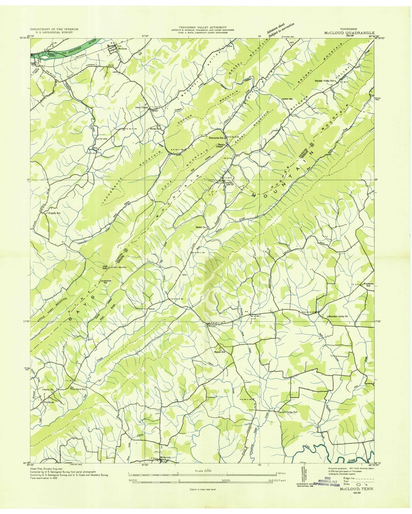
Historical USGS topographic quad map of McCloud in the state of Tennessee. Map scale may vary for some years, but is generally around 1:24,000. Print size is approximately 24" x 27"
This quadrangle is in the following counties: Greene, Hawkins.
The map contains contour lines, roads, rivers, towns, and lakes. Printed on high-quality waterproof paper with UV fade-resistant inks, and shipped rolled.
Contains the following named places: Arnotts Island, Babb Creek, Bandys Chapel, Bear Hollow, Bethel Church, Big Mountain, Bluff Mountain, Brokenback Mountain, Brotherton, Brotherton Cemetery, Brown Mountain Church, Burns Cemetery, Butcher, Butcher Valley, Butcher Valley Church, Butchers Valley School, Carl Thorpe Hollow, Carter Valley, Carters Valley School, Chalk Level, Coach Branch, Cooter Hollow, Copp Hollow, Couch, Cove Mountain, Coward Branch, Cup Hollow, Dawson Creek School, Dodson Creek, Dodson Creek Church, Dodson Hollow, Dodson Mountain, Enterprise, Enterprise School, Everhart Cemetery, Grigsby, Grigsby School, Heck Hollow, Heck Hollow Branch, High Spur, Hughes Mountain, John Sevier Steam Plant, Kite, Kite Cemetery, Kite Mountain, Lawson Gap, Liberty Church, Lick Slough, Little Gap Creek, Little Piney Mountain, Louderback Cemetery, Louderback Creek, Louderback Gap, Louderback Mountain, Malone Lake, Malone Lake Dam, Marion Robinette Memorial Church, McCloud, McCloud Baptist Church, McKinneys Islands, McKinneys Shoals, Morelock, Mount Carmel, Mount Carmel School, Mountain Valley Church, Patterson Cemetery, Persia Fire Department, Pigeon Creek, Pilot Knob, Pilot Knob School, Pilot Knobs, Piney Mountain, Plum Creek, Polly Branch, Price Cemetery, Providence Cemetery, Providence Church, Reynolds Cemetery, Roaring Fork, Rolling G Dam, Rolling G Lake, Romeo, Romeo School, Sanders Chapel, Saylor Creek, Short Mountain, Spears, Strahl, Strahl Cemetery, Strahl School, Tarpine Valley, Webster Cemetery, Woodlawn, Woodlawn School


