MyTopo
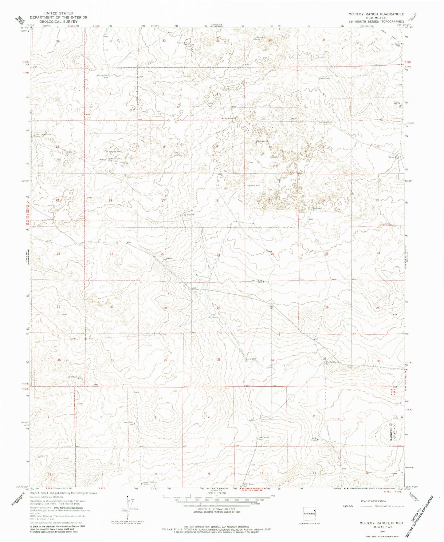
Classic USGS McCloy Ranch New Mexico 7.5'x7.5' Topo Map
Couldn't load pickup availability
Historical USGS topographic quad map of McCloy Ranch in the state of New Mexico. Map scale may vary for some years, but is generally around 1:24,000. Print size is approximately 24" x 27"
This quadrangle is in the following counties: Harding, Quay, Union.
The map contains contour lines, roads, rivers, towns, and lakes. Printed on high-quality waterproof paper with UV fade-resistant inks, and shipped rolled.
Contains the following named places: Bull Well, Dial Well, East Chihuahua Well, Halfway Well, McCarty Well, McCloy Ranch, Middle Well, North Line Well, North Orphan Well, North Well, Northeast Well, Northwest Well, Old Church Well, Old Northwest Well, Sand Hill Well, Twin Wells, West Chihuahua Well, West Well, White Well, Whorla Blanca Well, Willis Line Well, Willis Well, Willow Well