MyTopo
Classic USGS McClure Reservoir New Mexico 7.5'x7.5' Topo Map
Couldn't load pickup availability
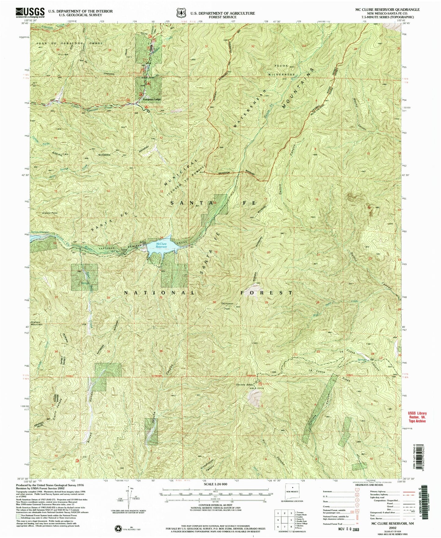
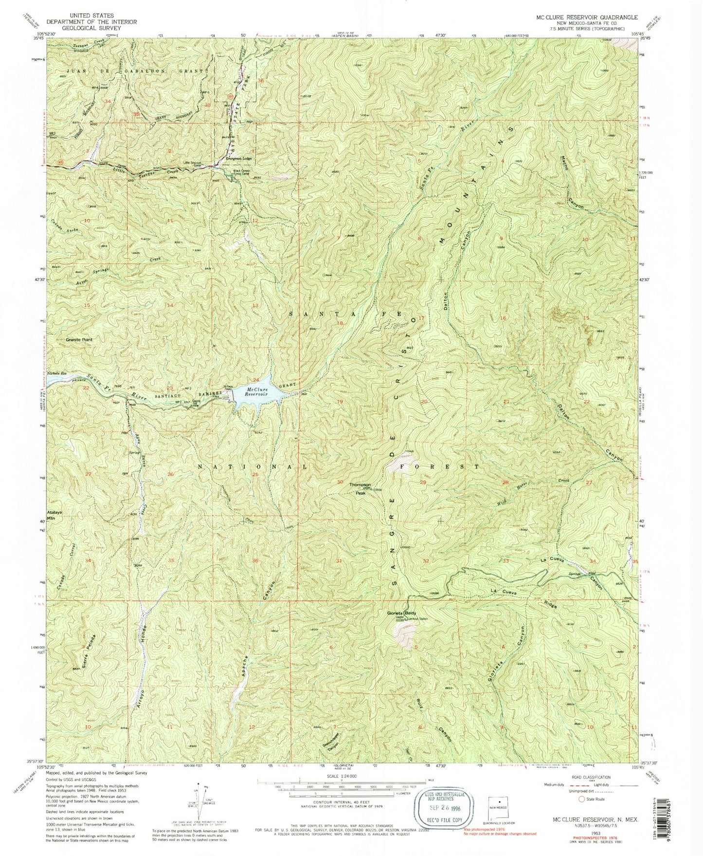
Historical USGS topographic quad map of McClure Reservoir in the state of New Mexico. Typical map scale is 1:24,000, but may vary for certain years, if available. Print size: 24" x 27"
This quadrangle is in the following counties: Santa Fe.
The map contains contour lines, roads, rivers, towns, and lakes. Printed on high-quality waterproof paper with UV fade-resistant inks, and shipped rolled.
Contains the following named places: Monument Rock, Agua Sarca Creek, Black Canyon Forest Camp, Chamiza Trail, Evergreen Lodge, Little Tesuque Camp, Thompson Peak, Thompson Peak Trail, Atalaya Trail, Glorieta Picnic Area, Glorieta Baldy, Granite Point, Hyde Memorial State Park, La Cueva Ridge, Santiago Ramirez Grant, Sierra Pelada, Wild Horse Creek, McClure Dam, Granite Point Reservoir, Glorieta Baldy Lookout Tower Historic Site, McClure Reservoir, Santa Fe Municipal Watershed