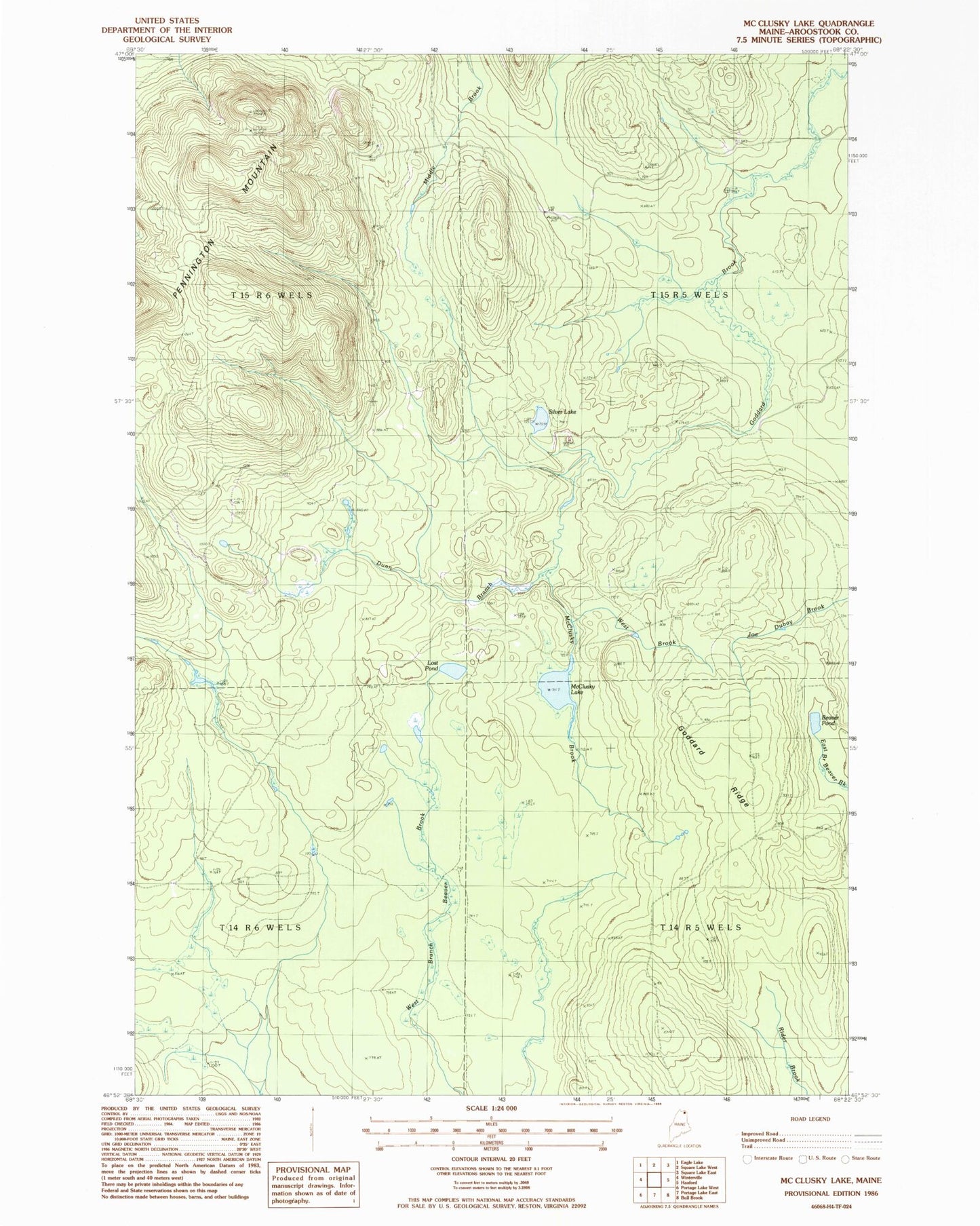
MyTopo
Classic USGS McClusky Lake Maine 7.5'x7.5' Topo Map
Regular price
$16.95
Regular price
Sale price
$16.95
Unit price
per
Couldn't load pickup availability
Historical USGS topographic quad map of McClusky Lake in the state of Maine. Map scale may vary for some years, but is generally around 1:24,000. Print size is approximately 24" x 27"
This quadrangle is in the following counties: Aroostook.
The map contains contour lines, roads, rivers, towns, and lakes. Printed on high-quality waterproof paper with UV fade-resistant inks, and shipped rolled.
Contains the following named places: Beaver Pond, Dunn Branch, Goddard Ridge, Lost Pond, McClusky Brook, McClusky Lake, Old Chain Bridge, Sands Camp, Silver Lake, Three Brooks Fire Tower, West Brook