MyTopo
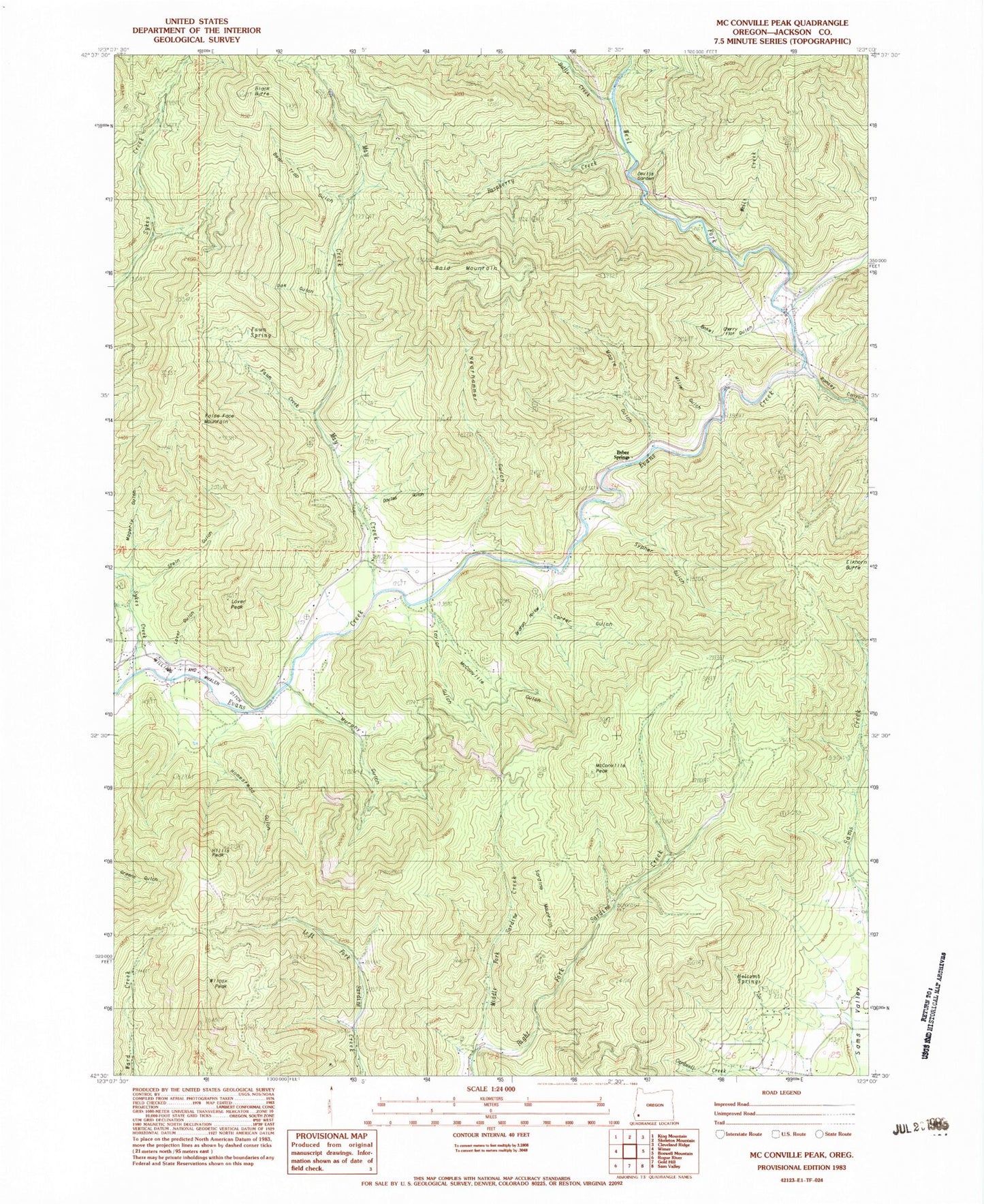
Classic USGS McConville Peak Oregon 7.5'x7.5' Topo Map
Couldn't load pickup availability
Historical USGS topographic quad map of McConville Peak in the state of Oregon. Typical map scale is 1:24,000, but may vary for certain years, if available. Print size: 24" x 27"
This quadrangle is in the following counties: Jackson.
The map contains contour lines, roads, rivers, towns, and lakes. Printed on high-quality waterproof paper with UV fade-resistant inks, and shipped rolled.
Contains the following named places: Braton Hollow, Davies Gulch, False Face Mountain, Holcomb Springs, Homestead Gulch, Maple Gulch, May Creek, McConville Gulch, Middle Fork Sardine Creek, Murphy Gulch, Neathammer Creek, Ramsey Canyon, Raspberry Creek, Sardine Mountain, Stein Gulch, Sykes Creek, Sypher Gulch, Wells Creek, Gregory Reservoir, Albright Gulch, Big Gulch, Albright Creek, Taylor Gulch, Bear Trap Gulch, Oak Gulch, Neathammer Gulch, Miller Gulch, Devils Garden, Bokel Gulch, Cherry Flat, Lover Peak, Blair Reservoir, Fawn Spring, Fawn Creek, Lover Gulch, Carter Gulch, Mineral Creek, Bald Mountain, Black Butte, Bybee Springs, Elkhorn Butte, McConville Peak, Wilcox Peak, Battle Creek, West Fork Evans Creek, Hillis Peak, Magerly Gulch, Northwest Jackson Division


