MyTopo
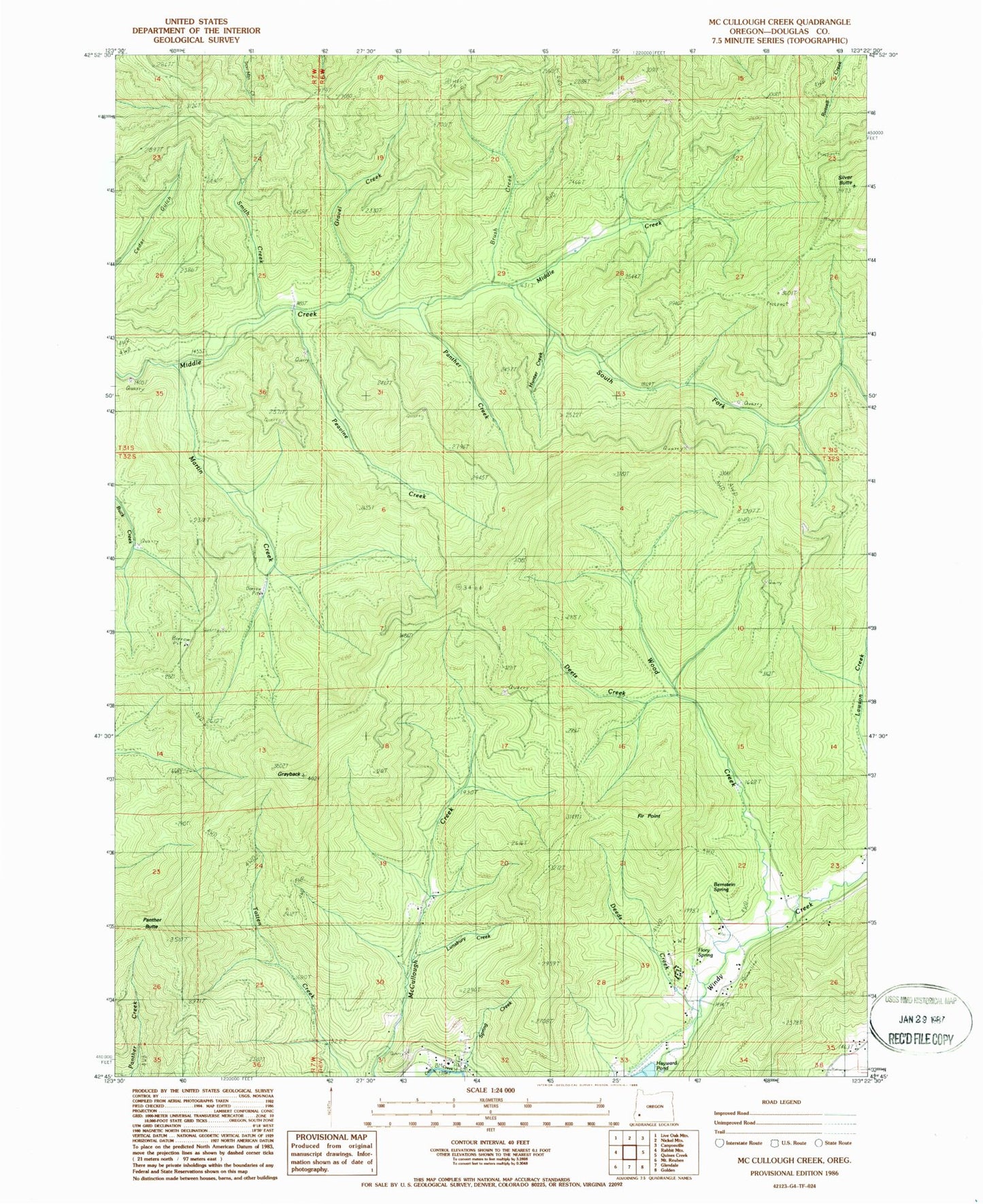
Classic USGS McCullough Creek Oregon 7.5'x7.5' Topo Map
Couldn't load pickup availability
Historical USGS topographic quad map of McCullough Creek in the state of Oregon. Map scale may vary for some years, but is generally around 1:24,000. Print size is approximately 24" x 27"
This quadrangle is in the following counties: Douglas.
The map contains contour lines, roads, rivers, towns, and lakes. Printed on high-quality waterproof paper with UV fade-resistant inks, and shipped rolled.
Contains the following named places: Bernstein Spring, Brush Creek, Cedar Camp, Cow Creek Game Refuge, Deeds Creek, Deets Creek, Fir Point, Fir Point Christian Camp, Flory Spring, Gravel Creek, Grayback, Grayback Trail, Hayward Pond, Hunter Creek, Lawson Creek, Lunsbury Creek, Martin Creek, Panther Butte, Panther Creek, Peavine Creek, Silver Butte, Smith Creek, South Fork Camp, South Fork Middle Creek, South Fork Trail, Spring Creek, Stag Trail, Wood Creek, ZIP Code: 97442


