MyTopo
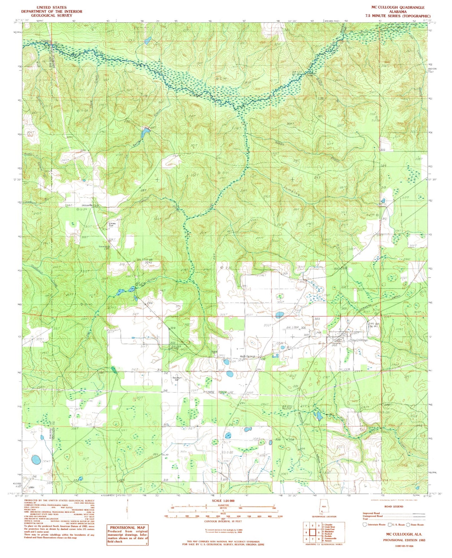
Classic USGS McCullough Alabama 7.5'x7.5' Topo Map
Couldn't load pickup availability
Historical USGS topographic quad map of McCullough in the state of Alabama. Map scale may vary for some years, but is generally around 1:24,000. Print size is approximately 24" x 27"
This quadrangle is in the following counties: Baldwin, Escambia, Monroe.
The map contains contour lines, roads, rivers, towns, and lakes. Printed on high-quality waterproof paper with UV fade-resistant inks, and shipped rolled.
Contains the following named places: Booneville, Booneville Baptist Church, Booneville Church Cemetery, Bridge Branch, Butterfork Creek, Clare Creek, Corinth Church, Driskell Cemetery, George E White Dam, Jack Springs, Jack Springs Cemetery, Jim Boone Branch, Jim Lomax Branch, Jumping Gully, Lake George White, Lindsey Cemetery, Long Hollow Creek, Lottie, McCullough, McCullough Post Office, McCullough Volunteer Fire Department, Mill Post Office, Mothershed Cemetery, Oxhead Branch, Pieburn Branch, Prestwood Bridge, Rabbit Branch, Steadham Cemetery, Steadman Chapel Church, Travelers Rest Church, Wolf Branch