MyTopo
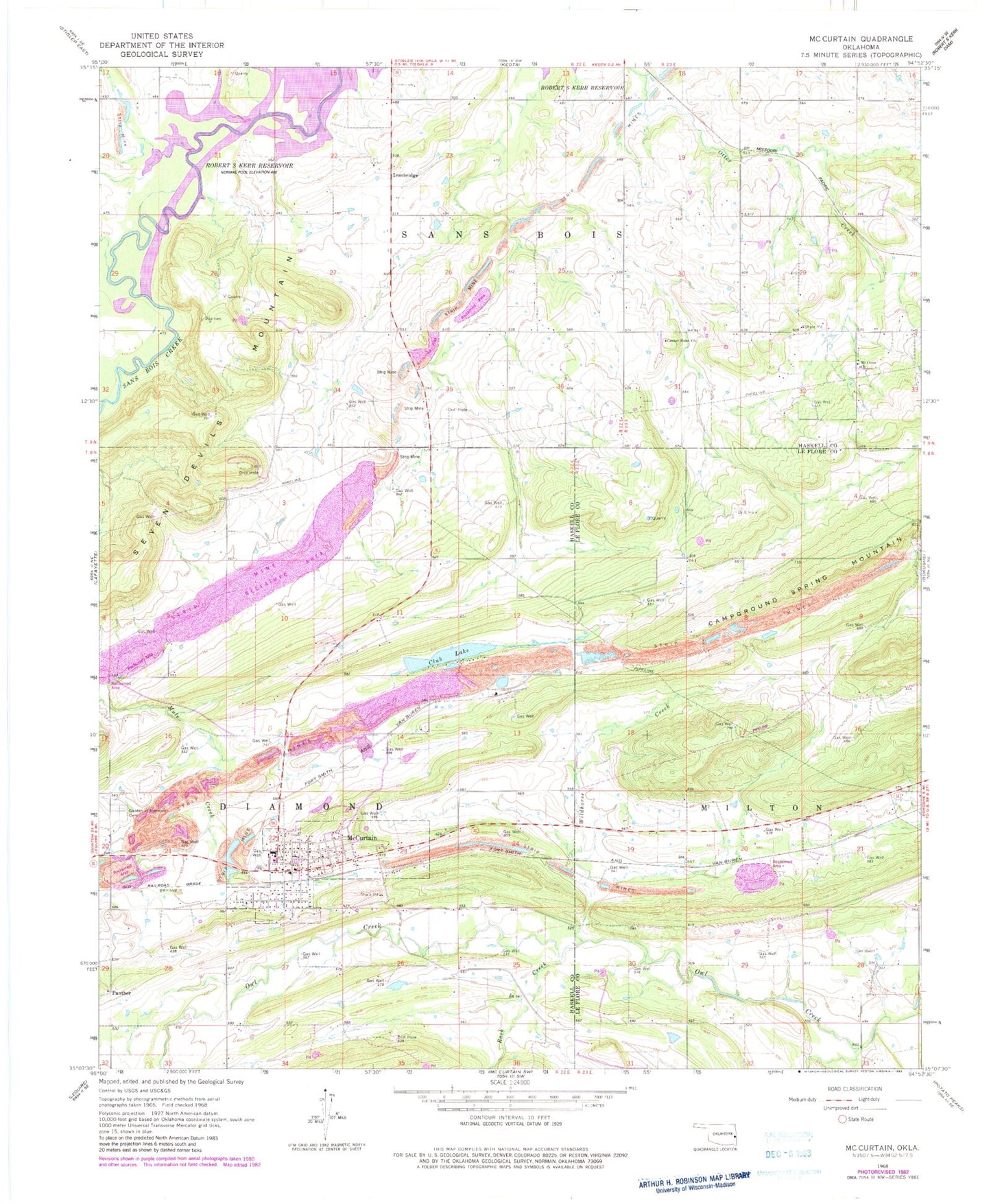
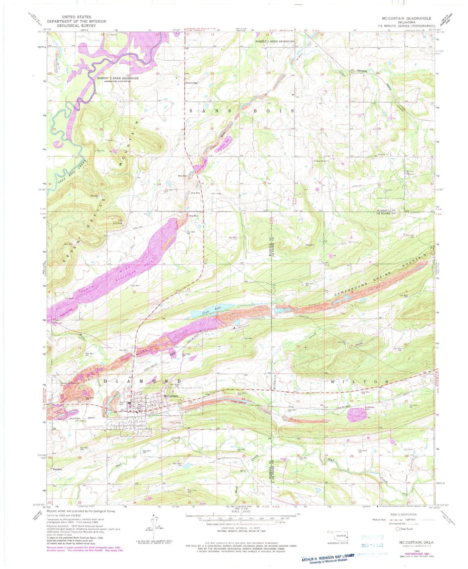
Classic USGS McCurtain Oklahoma 7.5'x7.5' Topo Map
Couldn't load pickup availability
Historical USGS topographic quad map of McCurtain in the state of Oklahoma. Map scale may vary for some years, but is generally around 1:24,000. Print size is approximately 24" x 27"
This quadrangle is in the following counties: Haskell, Le Flore.
The map contains contour lines, roads, rivers, towns, and lakes. Printed on high-quality waterproof paper with UV fade-resistant inks, and shipped rolled.
Contains the following named places: Campground Spring, Campground Spring Mountain, Center Point Church, Club Lake, Iron Bridge Cemetery, Ironbridge, McCurtain, McCurtain Club Lake, McCurtain Club Lake Dam, Mccurtain Elementary School, McCurtain Fire Department, McCurtain High School, McCurtain Post Office, Miners Cemetery, Mount Olive Church, Panther, Rock Creek, Sans Bois Creek, Seven Devils Mountain, Town of McCurtain, Wildhorse Creek, ZIP Code: 74944