MyTopo
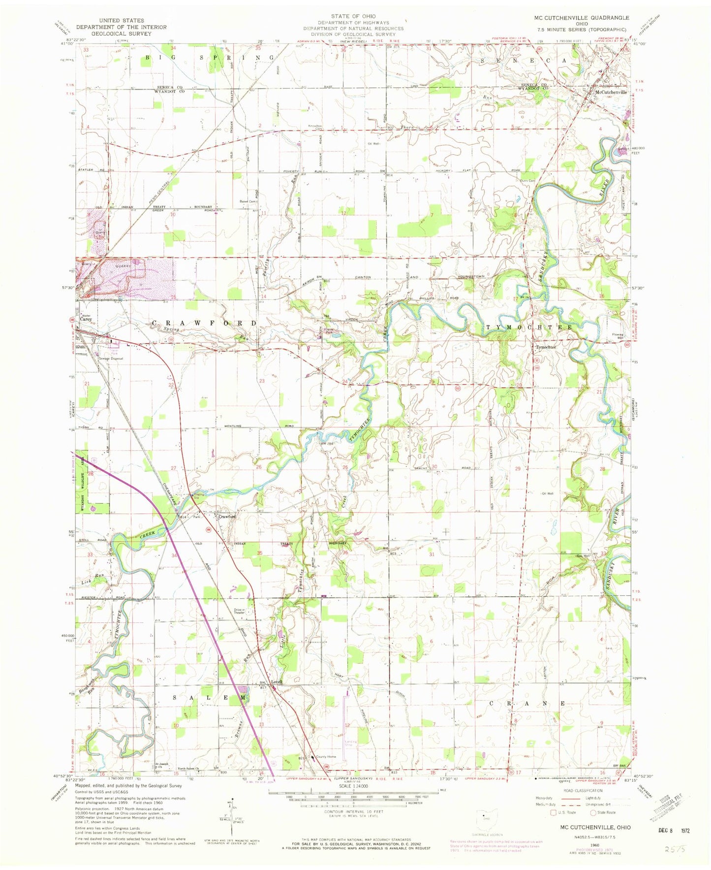
Classic USGS McCutchenville Ohio 7.5'x7.5' Topo Map
Couldn't load pickup availability
Historical USGS topographic quad map of McCutchenville in the state of Ohio. Map scale may vary for some years, but is generally around 1:24,000. Print size is approximately 24" x 27"
This quadrangle is in the following counties: Seneca, Wyandot.
The map contains contour lines, roads, rivers, towns, and lakes. Printed on high-quality waterproof paper with UV fade-resistant inks, and shipped rolled.
Contains the following named places: Baker Cemetery, Baughman Run, Berry Cemetery, Browns Run, Carey Mobile Home Estates, Carey Park, Crawford, Crawford United Methodist Church, Dunn Cemetery, Hart Ditch, Hetzel Cemetery, Infirmary Cemetery, Kear Cemetery, Kimbal School, Knowlton Cemetery, Layton Ditch, Lick Run, Little Tymochtee Creek, Lovell, Lovell Post Office, Lutheran Cemetery, McCutchenville, McCutchenville Census Designated Place, McCutchenville Elementary School, McCutchenville Fire and First Responders, McCutchenville Post Office, Methodist Cemetery, Morehart Hatchery, North Ridge School, North Salem Cemetery, North Salem Church, Poverty Run, Poverty Run School, Ritchey Cemetery, Saint John Cemetery, Saint Joseph Cemetery, Saint Joseph Church, Spring Run, Thorn Run, Township of Crawford, Tymochtee, Tymochtee Creek, Whaley Cemetery, Wyandot County Airport, Wyandot County Home, ZIP Code: 44844