MyTopo
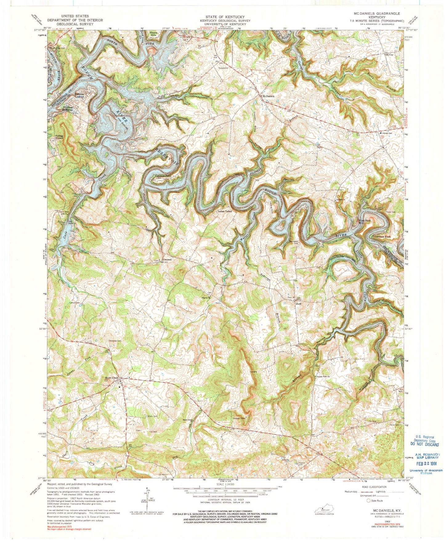
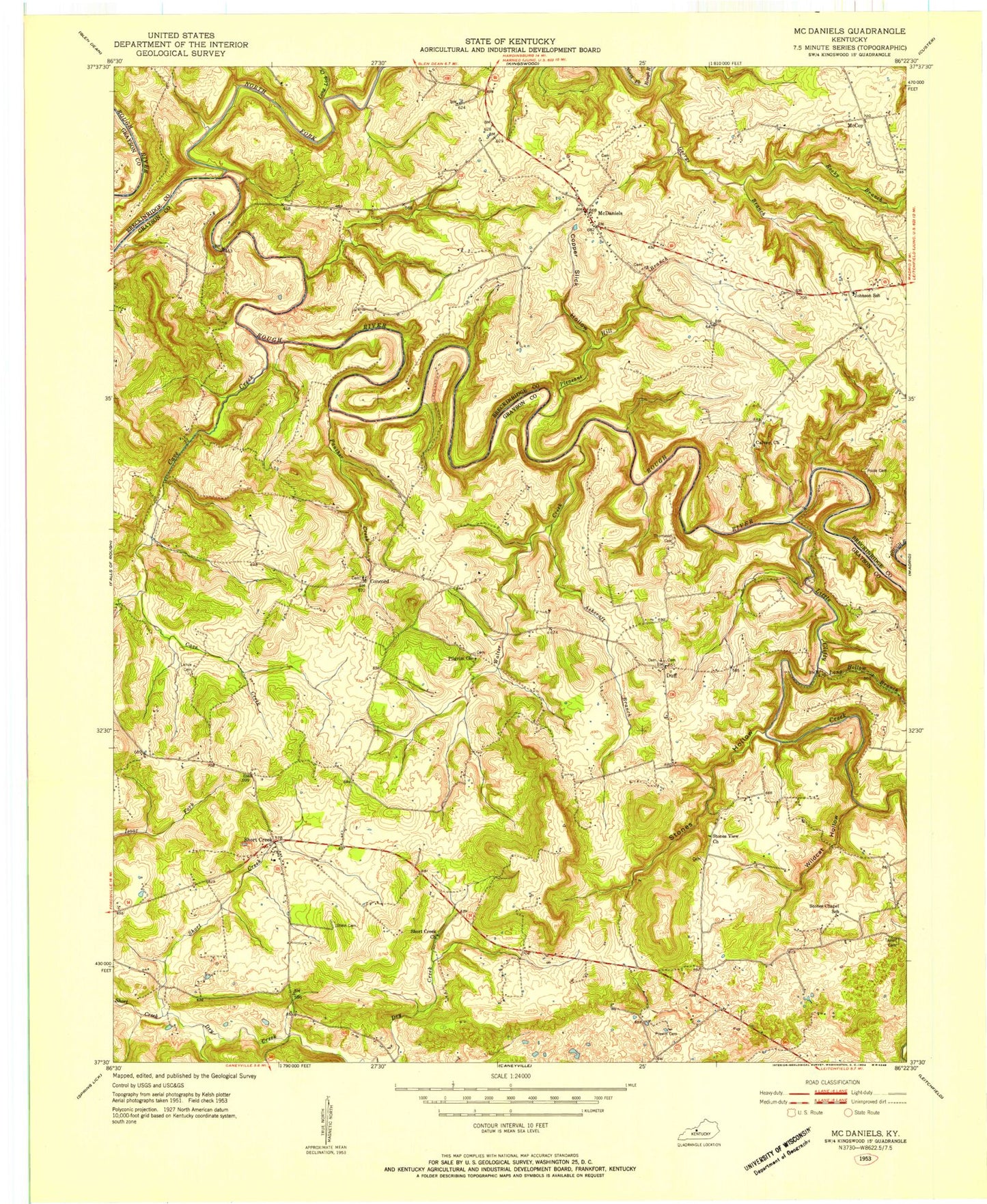
Classic USGS McDaniels Kentucky 7.5'x7.5' Topo Map
Couldn't load pickup availability
Historical USGS topographic quad map of McDaniels in the state of Kentucky. Map scale may vary for some years, but is generally around 1:24,000. Print size is approximately 24" x 27"
This quadrangle is in the following counties: Breckinridge, Grayson.
The map contains contour lines, roads, rivers, towns, and lakes. Printed on high-quality waterproof paper with UV fade-resistant inks, and shipped rolled.
Contains the following named places: Ann Mariah Shain Deweese Cemetery, Ashcraft Branch, Ben Johnson Elementary School, Calvert Church, Cannons Point, Cave Creek, Cobblers Knob, Concord, Copper Slick Hollow, Dry Creek, Duff, Falling Branch, Fentrees Lookout, Fentress McMahan, George Branch, Hinton Hills, Horn Back Mill, Indian Valley, Lahue - Bradshaw Cemetery, Little Clifty Creek, Long Hollow Branch, Long Lick Creek, McCoy, McDaniels, McDaniels Post Office, McDaniels Volunteer Fire and Rescue Station 1, North Fork Rough River, Panther Creek, Picnic Area Site 4, Pilgrim Church, Pleasant Hill Branch, Poole Cemetery, Prewitt Cemetery, Rocky Branch, Rough River Lake, Rough River Reservoir, Shain Cemetery, Short Creek, Short Creek Church, Stones Hollow, Stones View Church, Taylor Cemetery, Thomason Cemetery, Walter Creek, Wildcat Hollow, ZIP Code: 40152


