MyTopo
Classic USGS McDavid Florida 7.5'x7.5' Topo Map
Couldn't load pickup availability
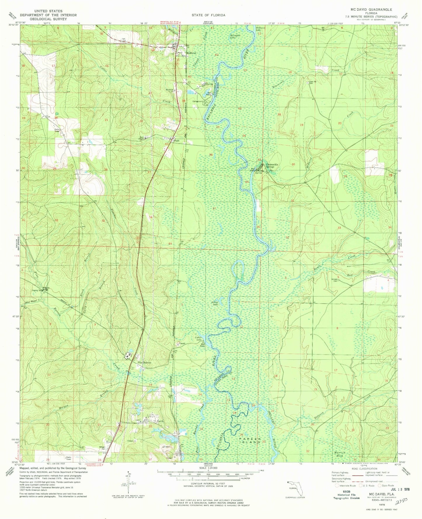
Historical USGS topographic quad map of McDavid in the state of Florida. Typical map scale is 1:24,000, but may vary for certain years, if available. Print size: 24" x 27"
This quadrangle is in the following counties: Escambia, Santa Rosa.
The map contains contour lines, roads, rivers, towns, and lakes. Printed on high-quality waterproof paper with UV fade-resistant inks, and shipped rolled.
Contains the following named places: Canoe Creek, Barth, Bell Creek, Black Branch, Blue Water Creek, Brown Lake, Chumuckla Springs, Coon Hill Cemetery, Cotton Creek, Cotton Lake, Delaney Creek, Diamond Creek, Fletcher Creek, Gully Branch, Horseshoe Lake, Juniper Cemetery, McDavid, McDavid Church, McDavid Creek, Moore Creek, Morgan Branch, Morgan Cemetery, Pine Barren, Rays Chapel, Wiggins Bridge, Bogia, Mineral Springs, Juniper Church, McDavid School, Thomas Thrifts Grant, Andrew Mitchell Grant, V Ordosgoity Grant, Henry O'Neal Grant, John Ruiz Grant, Celestino Gonzalez Grant, Henry Michalet Grant, Collier/Pine Barren Airpark, WKGT-FM (Century), Escambia River State Wildlife Management Area, Chumuckla Springs Post Office (historical), McDavid Volunteer Fire Department, Mc David Post Office