MyTopo
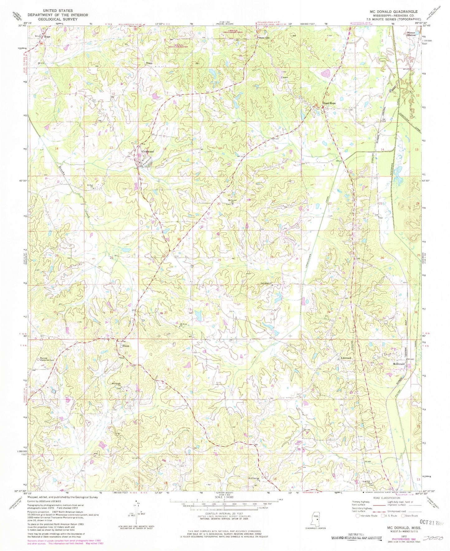
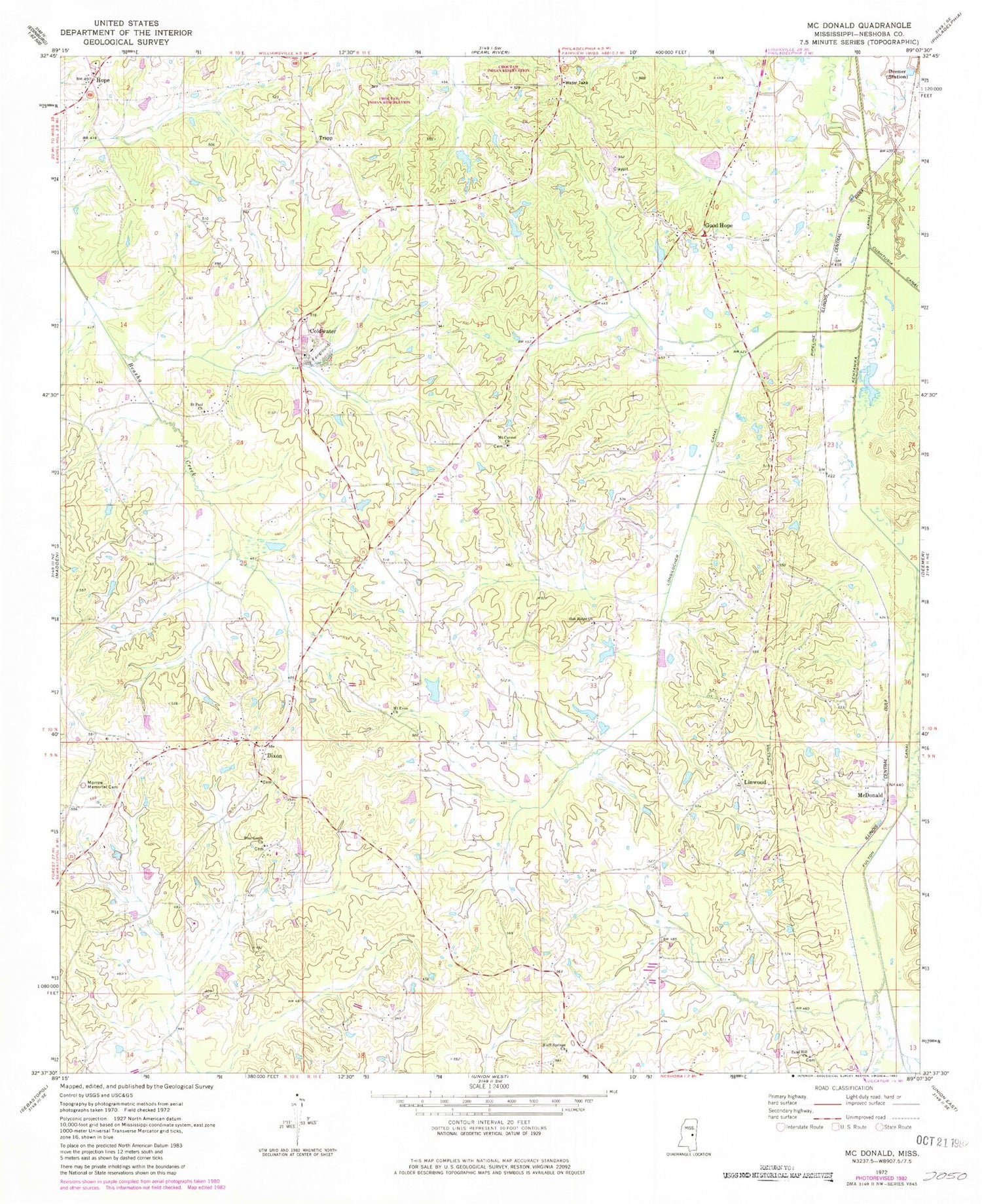
Classic USGS McDonald Mississippi 7.5'x7.5' Topo Map
Couldn't load pickup availability
Historical USGS topographic quad map of McDonald in the state of Mississippi. Map scale may vary for some years, but is generally around 1:24,000. Print size is approximately 24" x 27"
This quadrangle is in the following counties: Neshoba.
The map contains contour lines, roads, rivers, towns, and lakes. Printed on high-quality waterproof paper with UV fade-resistant inks, and shipped rolled.
Contains the following named places: Bill Turner Lake Dam, Bluff Springs Church, Buddy Dees Lake Dam, Coldwater, Coldwater Baptist Church, Coonshuck Creek, Deemer, Dixon, Dixon Cemetery, Dixon Volunteer Fire Department Station 1 Headquarters, E Johnson Lake Dam, Eldridge Lake Dam, Fulton Canal, Good Hope, Good Hope Baptist Church, Good Hope Cemetery, Hope, Hope Baptist Church, Hope Cemetery, Hope Volunteer Fire Department Station 1 Headquarters, Laird Lake Dam, Lenord Duncan Lake Dam, Linwood, Linwood Baptist Church, Linwood Volunteer Fire Department Station 1 Headquarters, Linwood Volunteer Fire Department Station 2, Lonsilocher Canal, McDonald, Morrow Memorial Cemetery, Mount Carmel Cemetery, Mount Carmel Church, Mount Evon Church, Neshoba County Fairgrounds, O Burrage Lake Dam, Oak Ridge Church, Pine Grove Church, Saint Paul Church, Sand Hill Church, Sapa Chitto, Scitz, Supervisor District 4, Trapp


