MyTopo
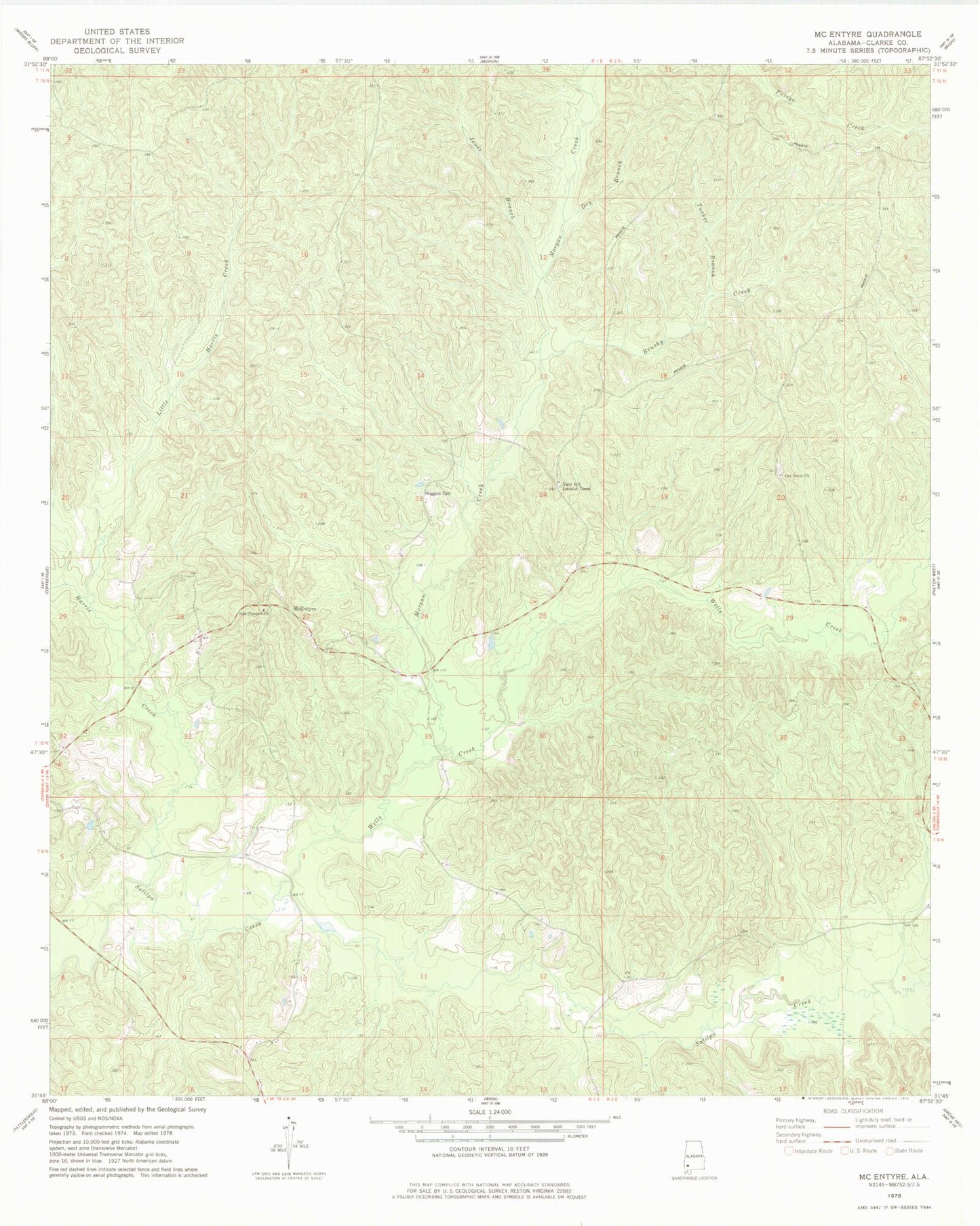
Classic USGS McEntyre Alabama 7.5'x7.5' Topo Map
Couldn't load pickup availability
Historical USGS topographic quad map of McEntyre in the state of Alabama. Map scale may vary for some years, but is generally around 1:24,000. Print size is approximately 24" x 27"
This quadrangle is in the following counties: Clarke.
The map contains contour lines, roads, rivers, towns, and lakes. Printed on high-quality waterproof paper with UV fade-resistant inks, and shipped rolled.
Contains the following named places: Bell Brewer Cemetery, Brushy Creek, Harris Creek, Huggins Cemetery, Jones Branch, Little Harris Creek, McEntyre, Morgan Creek, New Prospect Cemetery, New Prospect Church, Oak Grove Cemetery, Oak Grove Church, Sand Hill Lookout Tower, Scotch Wildlife Management Area Headquarters, Tucker Branch, Wells Creek