MyTopo
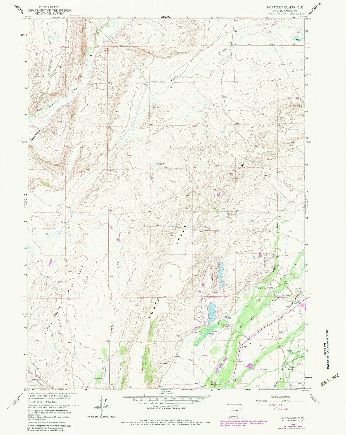
Classic USGS McFadden Wyoming 7.5'x7.5' Topo Map
Couldn't load pickup availability
Historical USGS topographic quad map of McFadden in the state of Wyoming. Map scale may vary for some years, but is generally around 1:24,000. Print size is approximately 24" x 27"
This quadrangle is in the following counties: Carbon.
The map contains contour lines, roads, rivers, towns, and lakes. Printed on high-quality waterproof paper with UV fade-resistant inks, and shipped rolled.
Contains the following named places: Beaver Ponds, Le, McFadden, McFadden School, McQuay Ranch, North Cross Ranch, Onemile Creek, Pine Cone Number 1 Dam, Pine Cone Number 1 Reservoir, Pine Cone Number 2 Dam, Pine Cone Number 2 Reservoir, Pine Ridge, Rock Creek Oil Field, Sims Ranch, Sprague Mine, T L Cow Camp, Upper Foote Creek Flats, White Dam, White Ranch, White Reservoir, Willow Springs