MyTopo
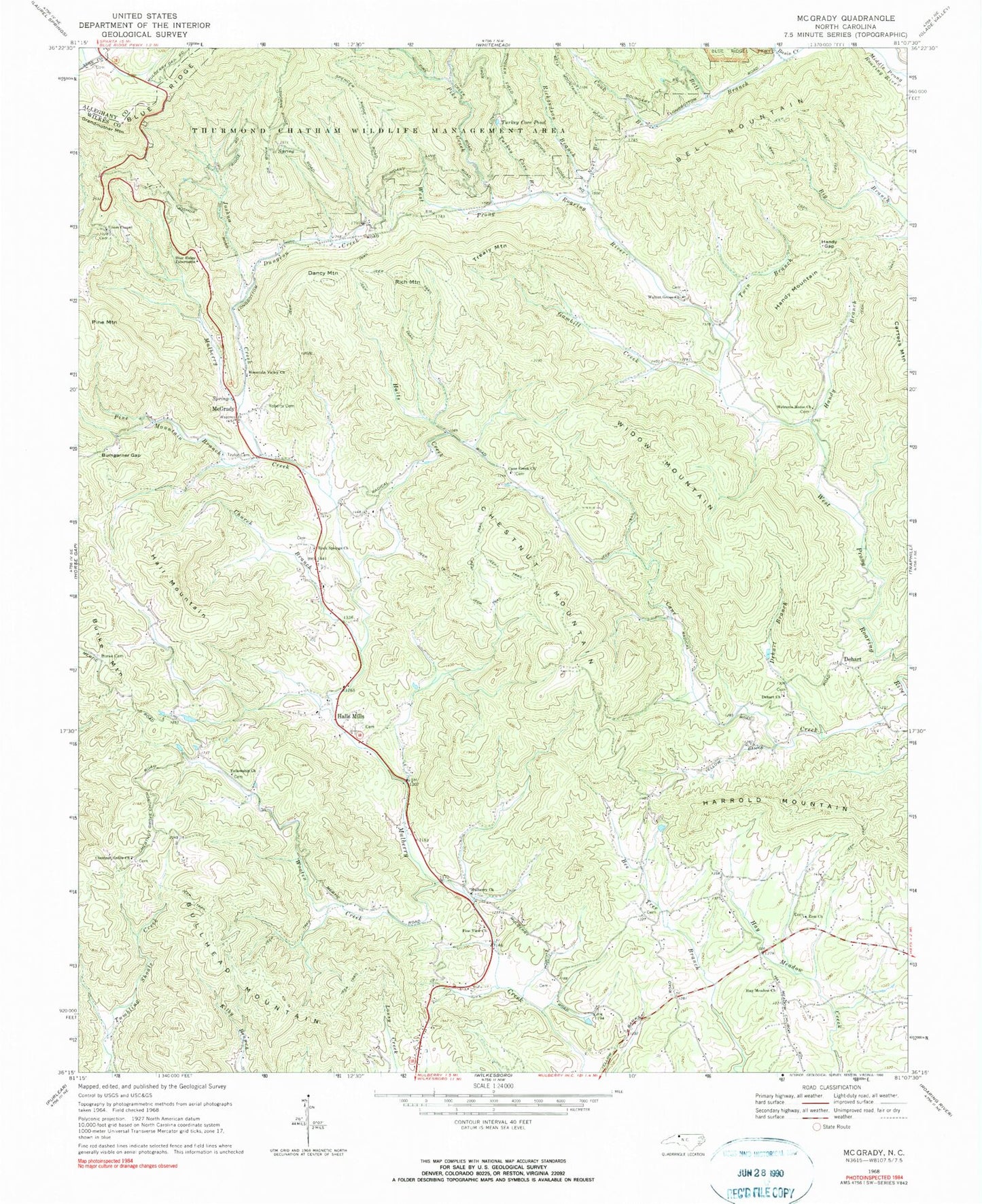
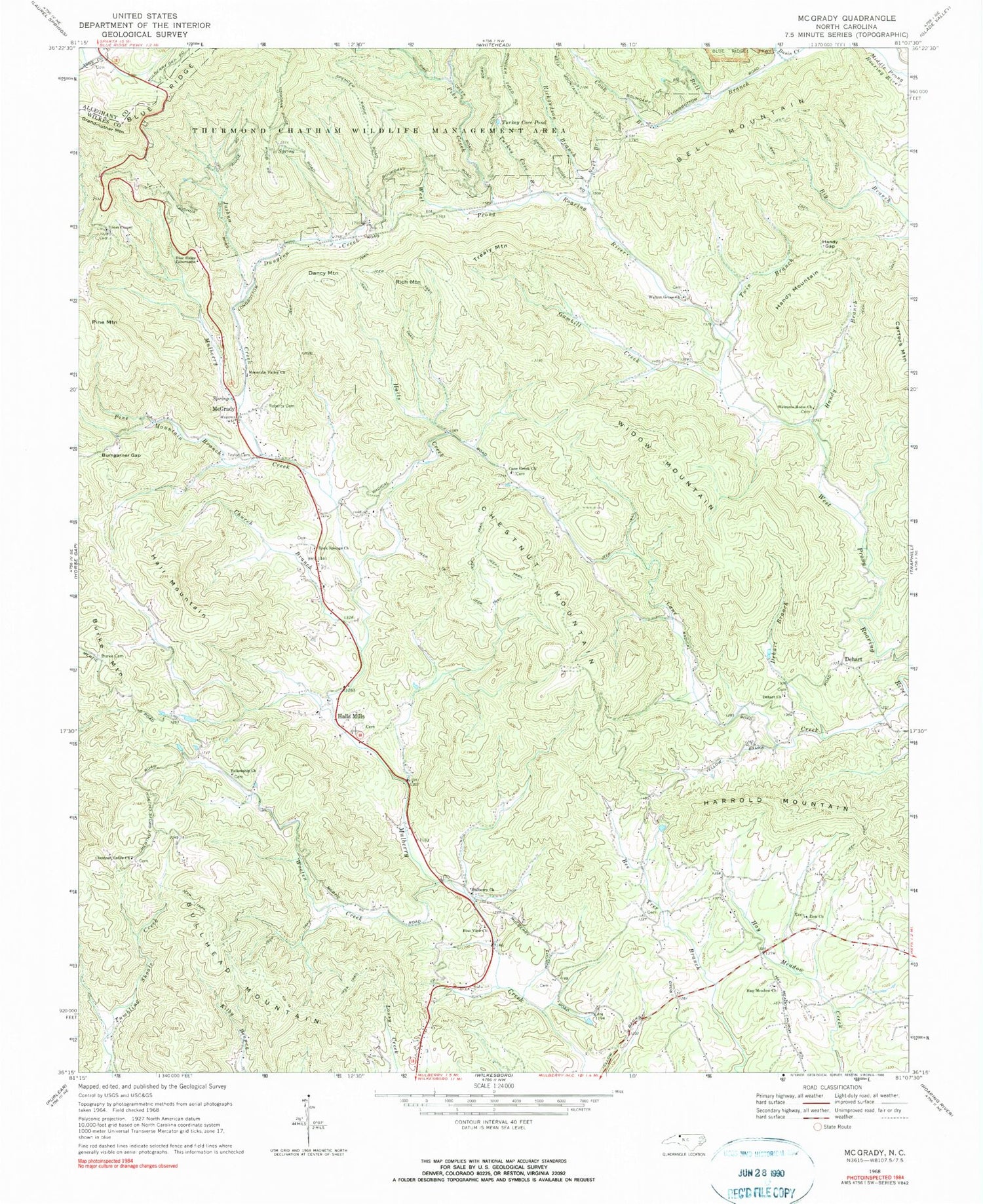
Classic USGS McGrady North Carolina 7.5'x7.5' Topo Map
Couldn't load pickup availability
Historical USGS topographic quad map of McGrady in the state of North Carolina. Typical map scale is 1:24,000, but may vary for certain years, if available. Print size: 24" x 27"
This quadrangle is in the following counties: Alleghany, Ashe, Wilkes.
The map contains contour lines, roads, rivers, towns, and lakes. Printed on high-quality waterproof paper with UV fade-resistant inks, and shipped rolled.
Contains the following named places: Bell Branch, Bell Mountain, Blue Ridge Tabernacle, Bumgarner Gap, Burke Cemetery, Cane Creek Church, Chestnut Grove Church, Church Branch, Cook Branch, Dehart, Dehart Branch, Dehart Church, Dungeon Creek, Fellowship Church, Gambill Creek, Grandmother Mountain, Hall Mountain, Halls Creek, Handy Branch, Handy Gap, Handy Mountain, Harrold Mountain, Hay Meadow Church, Joshua Creek, Mountain Valley Church, Mulberry Primitive Baptist Church, Noel Branch, Pike Creek, Pine Mountain, Pine Mountain Branch, Pine View Church, Rich Mountain, Richardson Branch, Roberts Cemetery, Rock Springs Church, Taylor Cemetery, Thurmond Chatham Wildlife Management Area, Turkey Cove Branch, Turkey Cove Pond, Twin Branch, Union Chapel, Walnut Grove Church, Welcome Home Church, Wooten Creek, Zion Church, Whitty (historical), Bullhead Mountain, Burke Mountain, Carters Mountain, Chestnut Mountain, Dancy Mountain, Trealy Mountain, Widow Mountain, McGrady, Radical, Township of Mulberry, Township of Walnut Grove, Halls Mills, Beaux (historical), Blevins School (historical), Bumgardner Gap, Hay Meadow (historical), Hays Store (historical), Mertie (historical), Mulberry School (historical), Newlife (historical), Springfield (historical), Walnut Grove School (historical), Walnut Grove School (historical), McGrady Volunteer Fire Department, McGrady Post Office, Walnut Grove Baptist Church Cemetery


