MyTopo
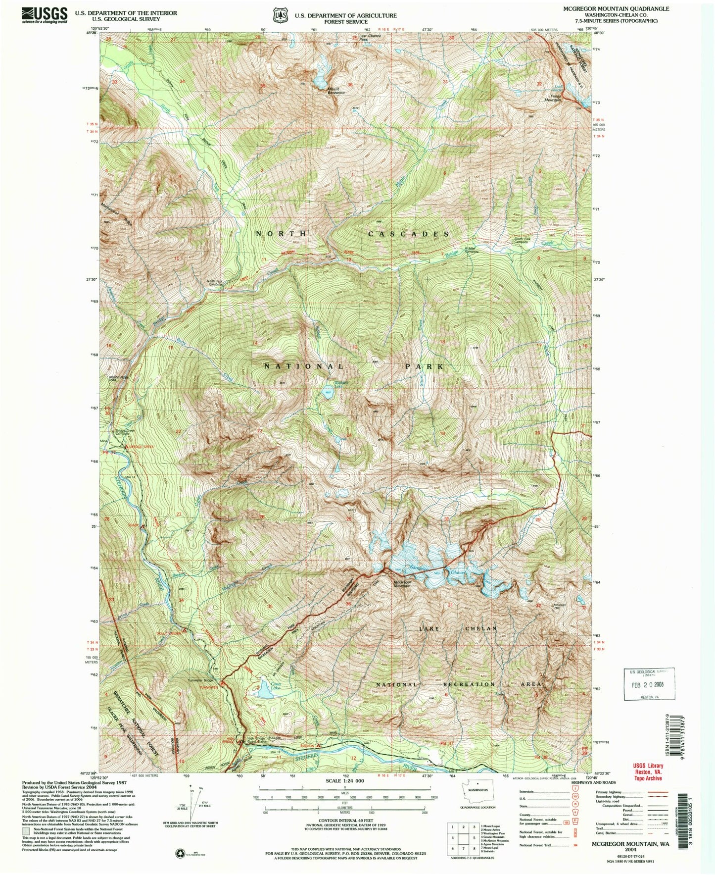
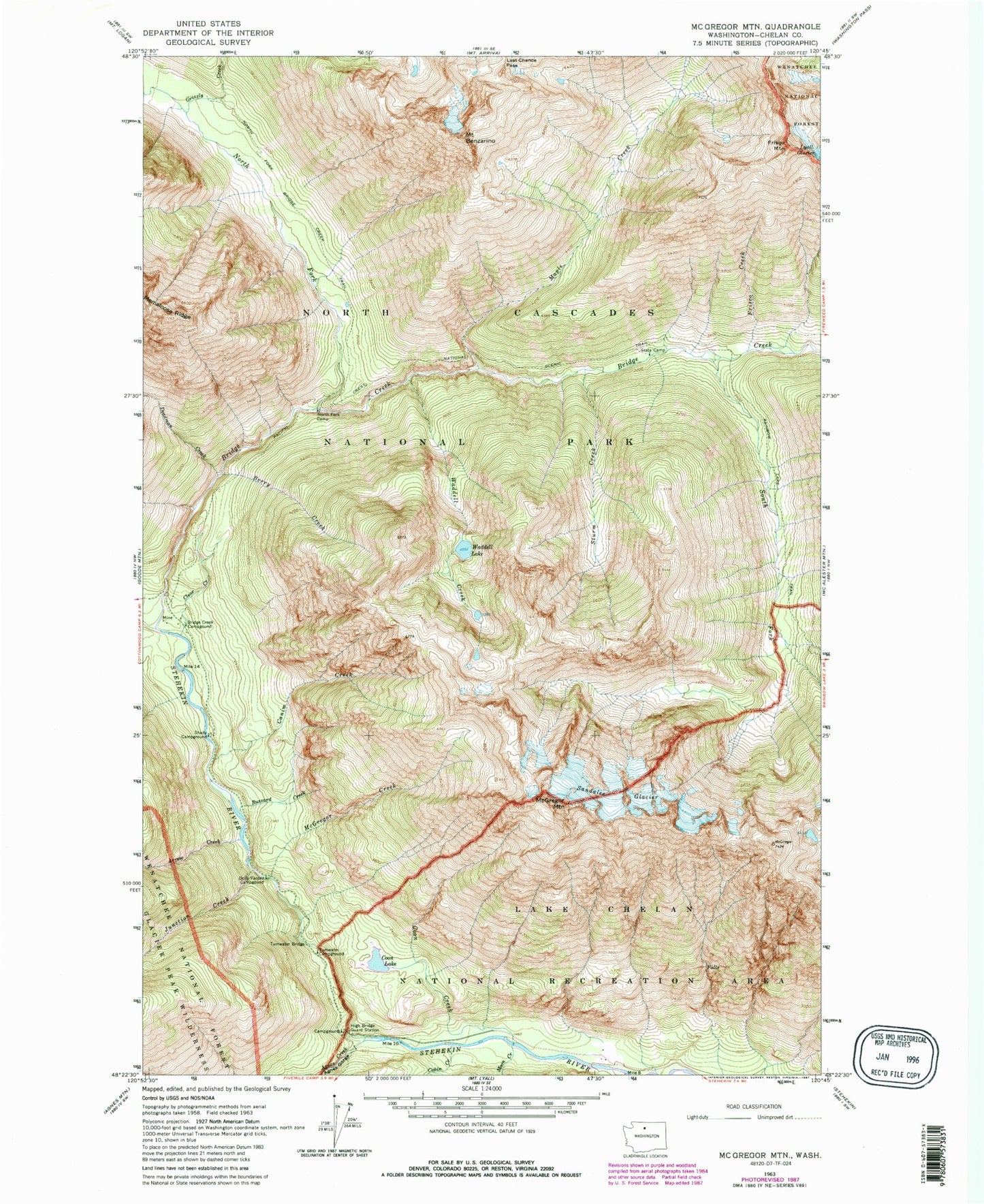
Classic USGS McGregor Mountain Washington 7.5'x7.5' Topo Map
Couldn't load pickup availability
Historical USGS topographic quad map of McGregor Mountain in the state of Washington. Typical map scale is 1:24,000, but may vary for certain years, if available. Print size: 24" x 27"
This quadrangle is in the following counties: Chelan.
The map contains contour lines, roads, rivers, towns, and lakes. Printed on high-quality waterproof paper with UV fade-resistant inks, and shipped rolled.
Contains the following named places: Agnes Creek, Agnes Gorge, Arrow Creek, Mount Benzarino, Berry Creek, Bridge Creek, Bridge Creek Campground, Buzzard Creek, Cabin Creek, Canim Creek, Clear Creek, Howard Creek, Howard Lake, Deadman Creek, Dolly Varden Campgound, Frisco Creek, Frisco Mountain, Grizzly Creek, High Bridge Guard Station, Junction Creek, Last Chance Pass, Maple Creek, McGregor Creek, McGregor Mountain, Moon Creek, North Fork Bridge Creek, North Fork Campsite, Sandalee Glacier, Shady Campground, South Fork Bridge Creek, Sturm Creek, Tumwater Bridge, Tumwater Campground, Waddell Creek, Waddell Lake, High Bridge Campground, Bullion Campsite, South Fork Campsite, 6 Mile Campsite, North Fork Bridge Creek Trail


