MyTopo
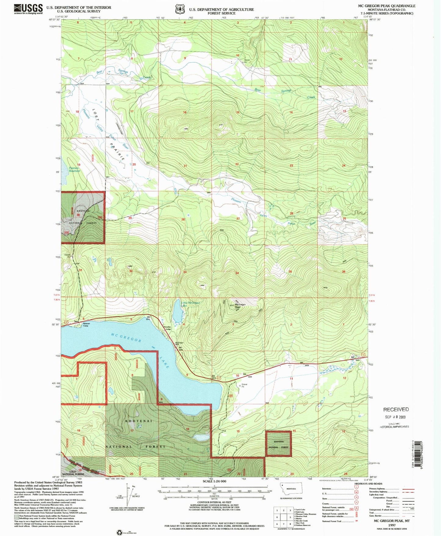
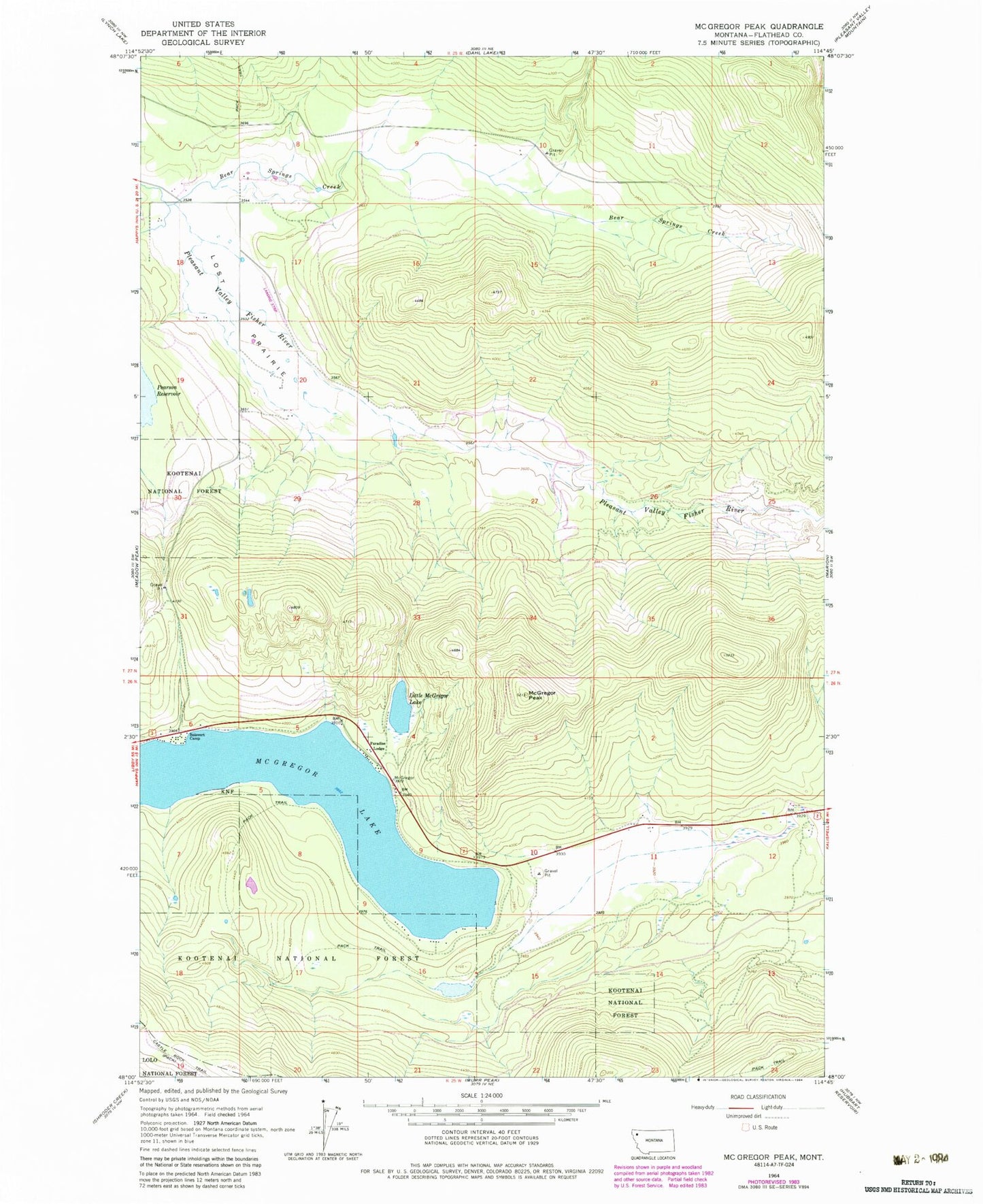
Classic USGS McGregor Peak Montana 7.5'x7.5' Topo Map
Regular price
$16.95
Regular price
Sale price
$16.95
Unit price
per
Couldn't load pickup availability
Historical USGS topographic quad map of McGregor Peak in the state of Montana. Map scale may vary for some years, but is generally around 1:24,000. Print size is approximately 24" x 27"
This quadrangle is in the following counties: Flathead.
The map contains contour lines, roads, rivers, towns, and lakes. Printed on high-quality waterproof paper with UV fade-resistant inks, and shipped rolled.
Contains the following named places: Averill Dam, Bear Springs Creek, Boisvert Camp, Carson Field, Castle Rock Trail, Little McGregor Lake, Lost Prairie, Marion Rural Fire District - Mc Gregor Lake Station, McGregor Lake, McGregor Peak, Paradise Lodge, Thompson Chain of Lakes Fishing Access Site, ZIP Code: 59925