MyTopo
Classic USGS McGulpin Point Michigan 7.5'x7.5' Topo Map
Couldn't load pickup availability
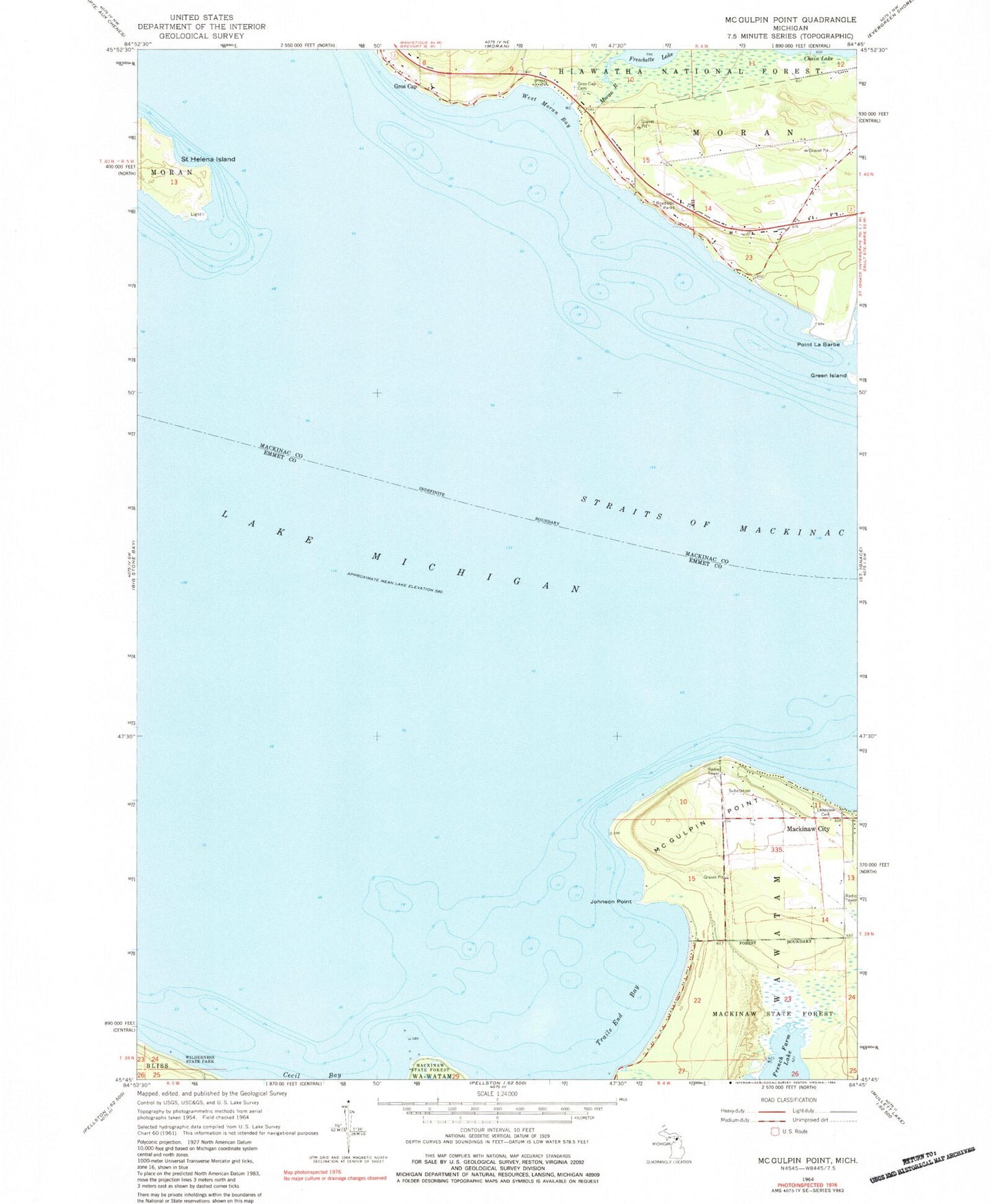
Historical USGS topographic quad map of McGulpin Point in the state of Michigan. Map scale may vary for some years, but is generally around 1:24,000. Print size is approximately 24" x 27"
This quadrangle is in the following counties: Emmet, Mackinac.
The map contains contour lines, roads, rivers, towns, and lakes. Printed on high-quality waterproof paper with UV fade-resistant inks, and shipped rolled.
Contains the following named places: Across the Peninsula Historical Marker, Freschette Lake, Gros Cap, Gros Cap and Saint Helena Island Historical Marker, Gros Cap Cemetery, Gros Cap School, Groscap Post Office, Johnson Point, Lake Michigan Historical Marker, Lakeshore RV Park Campground, Lakeview Cemetery, McGulpin Point, Moran River, Point La Barbe, Saint Helena Island, Springbrook Golf Club, Straits of Mackinac, Totem Village, Township of Wawatam, Trails End Bay, West Moran Bay, WIDG-AM (Saint Ignace), WMKC-FM (Saint Ignace)