MyTopo
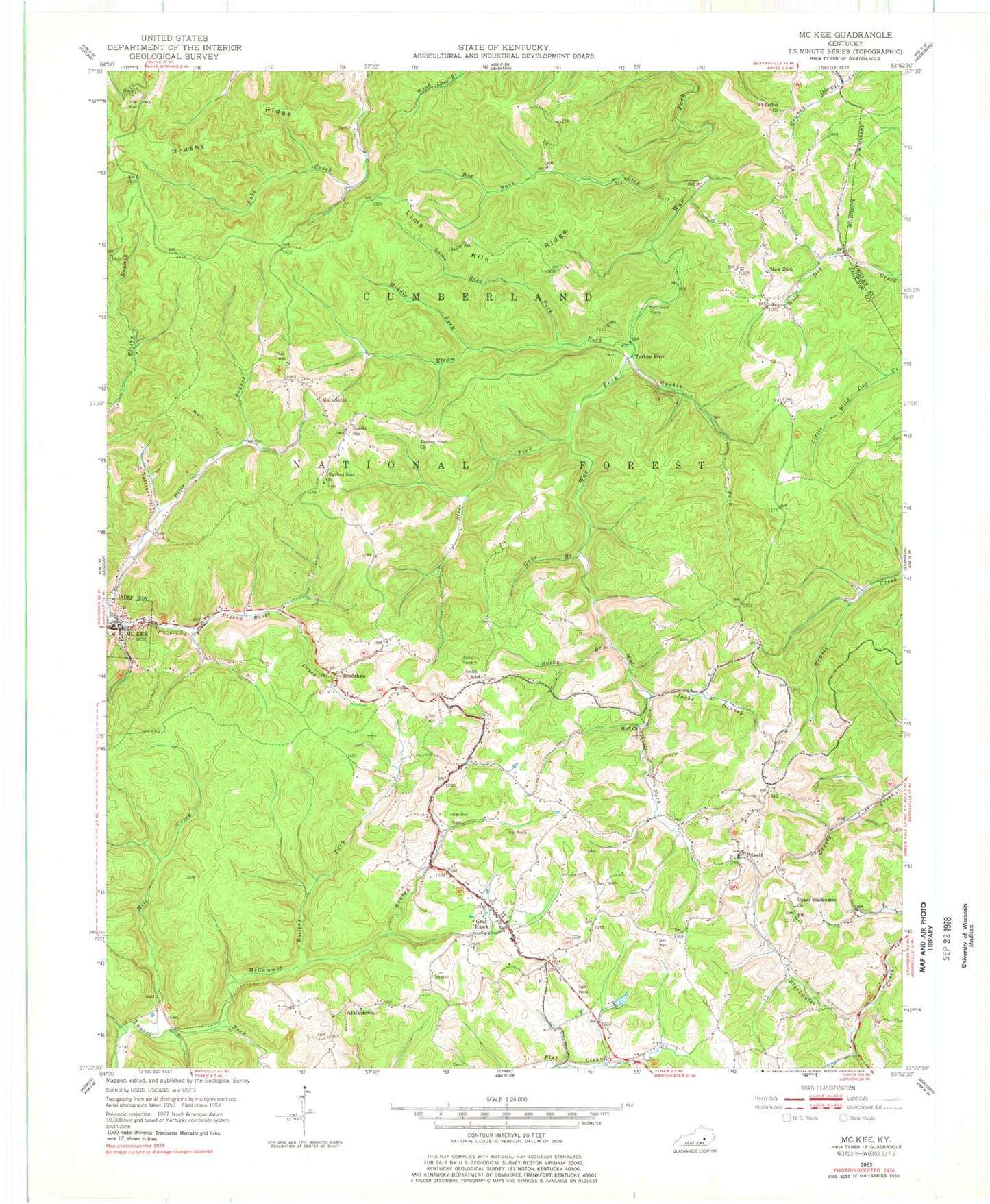
Classic USGS McKee Kentucky 7.5'x7.5' Topo Map
Couldn't load pickup availability
Historical USGS topographic quad map of McKee in the state of Kentucky. Map scale may vary for some years, but is generally around 1:24,000. Print size is approximately 24" x 27"
This quadrangle is in the following counties: Jackson, Owsley.
The map contains contour lines, roads, rivers, towns, and lakes. Printed on high-quality waterproof paper with UV fade-resistant inks, and shipped rolled.
Contains the following named places: Adkins School, Atkinstown, Beulah Lake, Big Buck Lick, Bills Branch, Bradshaw, Bradshaw Post Office, Brushy Ridge, City of McKee, Elsam Fork, Flat Hollow Fork, Gray Hawk, Gray Hawk Fire Department, Gray Hawk Post Office, Griffee Branch, Guys Branch, Hayes Branch, Huff, Huff Church, Huff School, Hughes Fork, Jacks Branch, Jackson County Ambulance Service, Jackson County High School, Jackson County Sheriff's Office, Lake Creek, Lime Kiln Branch, Lime Kiln Fork, Lime Kiln Ridge, Macedonia, Macedonia Church, McCammon Branch, McKee, McKee Division, McKee Fire Department Station 1, Mckee Fire Department Station 2, McKee School, McKee Work Center, Middle Fork Elsam Fork, Mill Creek, Mount Bethel Church, Muncey Post Office, Neil Hollow, New Zion, New Zion Post Office, New Zion Ridge, New Zion School, Oak Grove, Old Pigeon Roost, Orpha Post Office, Otter Branch, Panther Branch, Pilgrims Rest Church, Privett, Privette Post Office, Privette School, Randale Branch, Rocky Branch, Rolling Fork, Smith, Smith School, Sparks, Sparks School, Spivey Branch, Steer Fork, Stelle Cemeteries, Sugar Camp Creek, Tattlers Hollow, Turkey Foot, Turkey Foot Campground, Turkey Foot Church, Upper Blackwater Church, Wilma Post Office, WWAG-FM (McKee), ZIP Code: 40434


