MyTopo
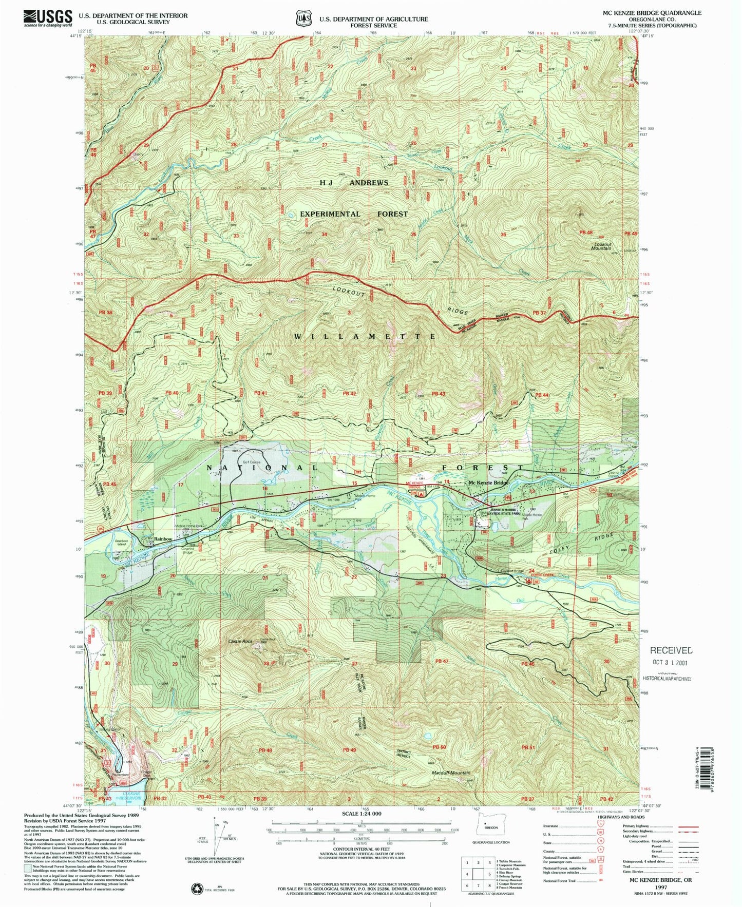
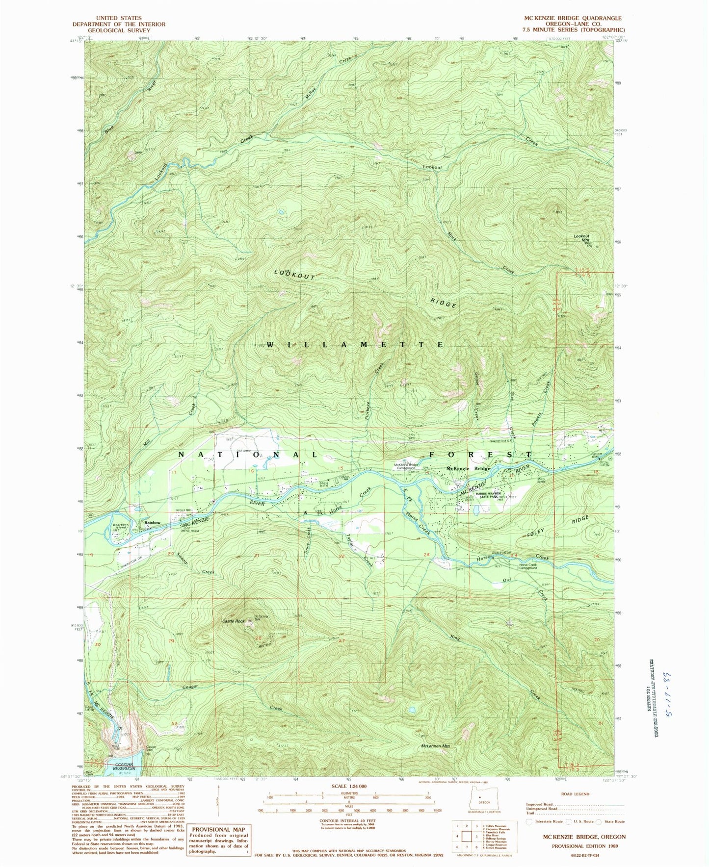
Classic USGS McKenzie Bridge Oregon 7.5'x7.5' Topo Map
Couldn't load pickup availability
Historical USGS topographic quad map of McKenzie Bridge in the state of Oregon. Map scale may vary for some years, but is generally around 1:24,000. Print size is approximately 24" x 27"
This quadrangle is in the following counties: Lane.
The map contains contour lines, roads, rivers, towns, and lakes. Printed on high-quality waterproof paper with UV fade-resistant inks, and shipped rolled.
Contains the following named places: Castle Creek, Castle Rock, Cold Creek, Cougar Creek, Cougar Creek Recreation Site, Cougar Dam, Dearborn Island, Drury Creek, East Fork Horse Creek, Florence Creek, Frissell Point Trail, Glen Creek, Goose Creek, H J Andrews Experimental Forest, Horse Creek, Horse Creek Group Camp, Jennie B Harris County Park, King Creek, Lookout Creek, Lookout Mountain, Lookout Mountain Trail, Lookout Ridge, Macduff Mountain, Mack Creek, McKenzie Bridge, McKenzie Bridge Campground Boat Ramp, McKenzie Bridge Post Office, McKenzie Bridge Recreation Site, McRae Creek, Mill Creek, Nostoc Creek, Owl Creek, Powers Creek, Rainbow, Rainbow Post Office, Rush Creek, Saddle Creek, Shorter Creek, Swamp Creek, Taylor Creek, Thomson Post Office, Upper McKenzie Rural Fire Protection District, West Fork Horse Creek


