
MyTopo
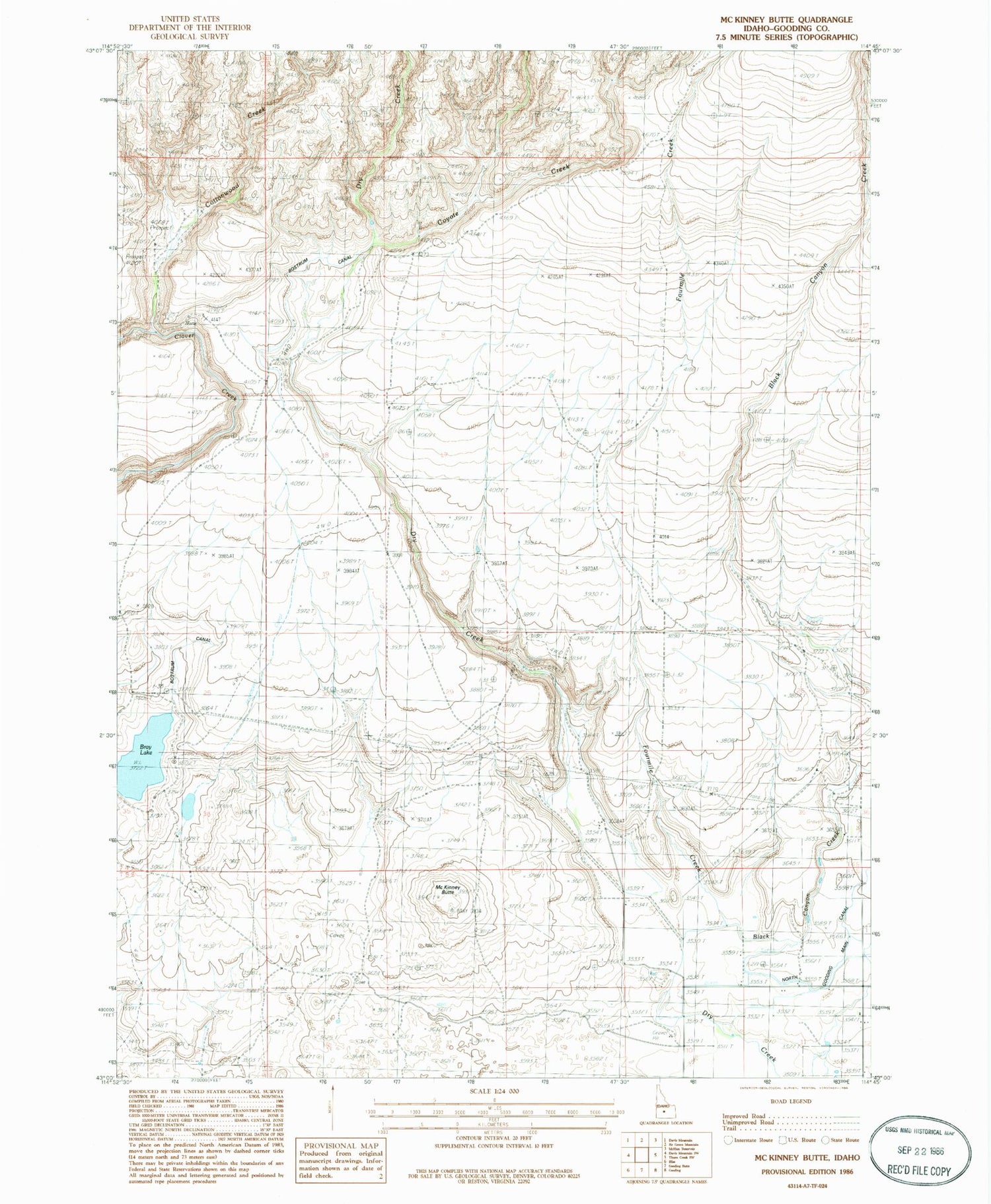
Classic USGS McKinney Butte Idaho 7.5'x7.5' Topo Map
Regular price
$16.95
Regular price
Sale price
$16.95
Unit price
per
Couldn't load pickup availability
Historical USGS topographic quad map of McKinney Butte in the state of Idaho. Map scale may vary for some years, but is generally around 1:24,000. Print size is approximately 24" x 27"
This quadrangle is in the following counties: Gooding.
The map contains contour lines, roads, rivers, towns, and lakes. Printed on high-quality waterproof paper with UV fade-resistant inks, and shipped rolled.
Contains the following named places: Black Canyon Creek, Bliss Division, Bostrum Canal, Bray Lake, Chalk Mine, Cottonwood Creek, Coyote Creek, Crist Cabin, Dog Creek Drain, Fourmile Creek, Hole-In-The-Wall Cabin, Lateral 1665, Lateral 1685, McKinney Butte


