
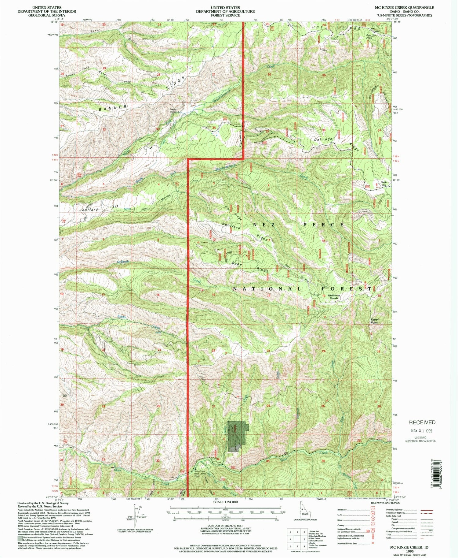
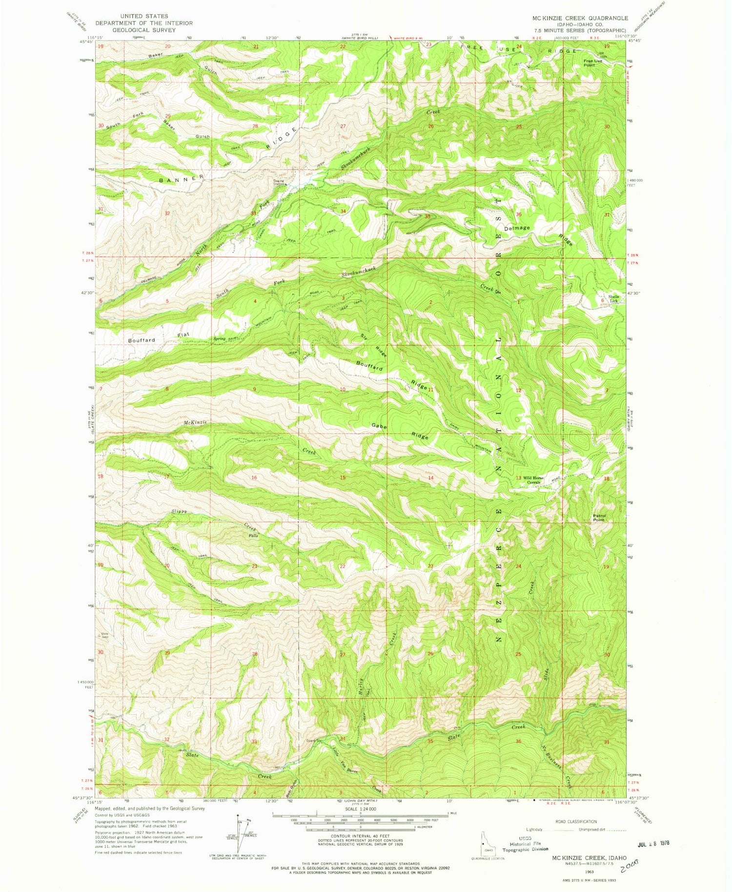
MyTopo
Classic USGS McKinzie Creek Idaho 7.5'x7.5' Topo Map
Couldn't load pickup availability
Historical USGS topographic quad map of McKinzie Creek in the state of Idaho. Map scale may vary for some years, but is generally around 1:24,000. Print size is approximately 24" x 27"
This quadrangle is in the following counties: Idaho.
The map contains contour lines, roads, rivers, towns, and lakes. Printed on high-quality waterproof paper with UV fade-resistant inks, and shipped rolled.
Contains the following named places: Banner Ridge, Bear Gulch, Bouffard Flat, Bouffard Ridge, Delmage Ridge, Free Use Point, Free Use Ridge, Gabe Ridge, Hartman Creek, Hurley Creek, Jewitt Gulch, Little Van Buren Creek, No Business Creek, Patrol Point, Shells Lick, Slate Creek Work Center, Slide Creek, Sly Ridge, Wild Horse Corrals


