MyTopo
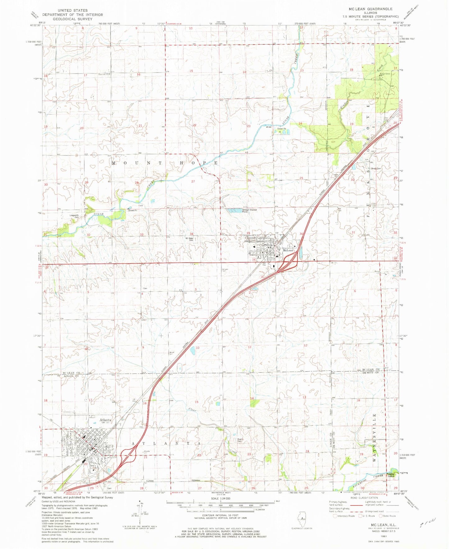
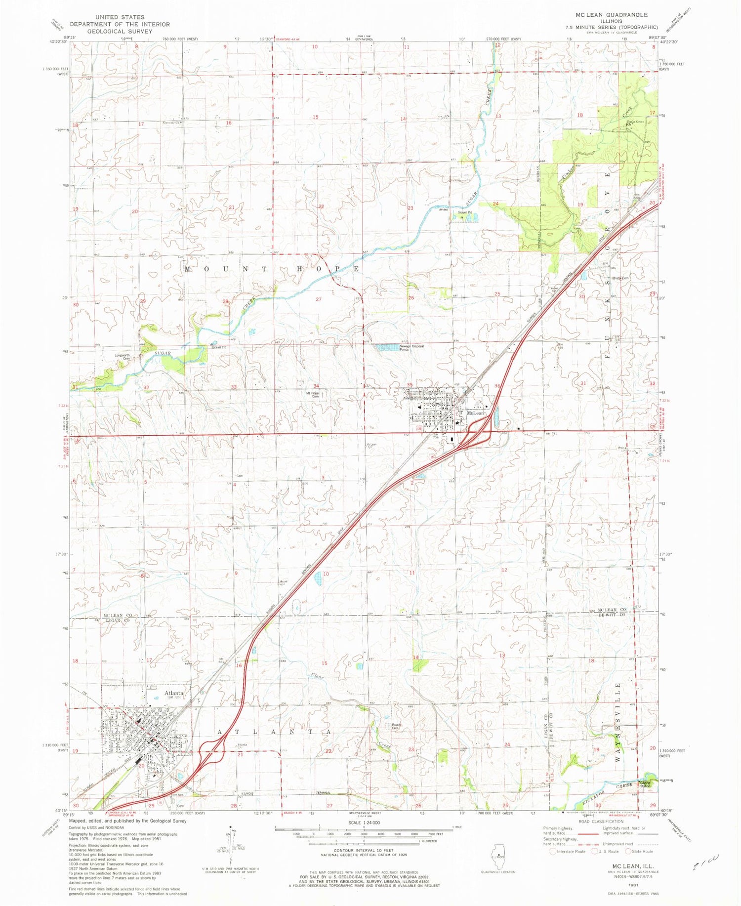
Classic USGS McLean Illinois 7.5'x7.5' Topo Map
Couldn't load pickup availability
Historical USGS topographic quad map of McLean in the state of Illinois. Map scale may vary for some years, but is generally around 1:24,000. Print size is approximately 24" x 27"
This quadrangle is in the following counties: De Witt, Logan, McLean.
The map contains contour lines, roads, rivers, towns, and lakes. Printed on high-quality waterproof paper with UV fade-resistant inks, and shipped rolled.
Contains the following named places: Atlanta, Atlanta Elementary School, Atlanta Fire Protection District, Atlanta Post Office, Atlanta United Methodist Church, Brock Cemetery, City of Atlanta, Ebenezer Church, Farm Aerial Service Incorporated Airport, Funks Grove Cemetery, Funks Grove Church, Longsworth Cemetery, McLean, McLean Cemetery, McLean Post Office, Mclean-Waynesville Elementary School, Mount Hope - Funks Grove Fire Protection District, Old Mount Hope Cemetery, Roaches Chapel Cemetery, Thaddeus Stubblefield Grove Nature Preserve, Timber Creek, Township of Atlanta, Township of Mount Hope, Village of McLean, ZIP Code: 61754