MyTopo
Classic USGS McLeansboro Illinois 7.5'x7.5' Topo Map
Couldn't load pickup availability
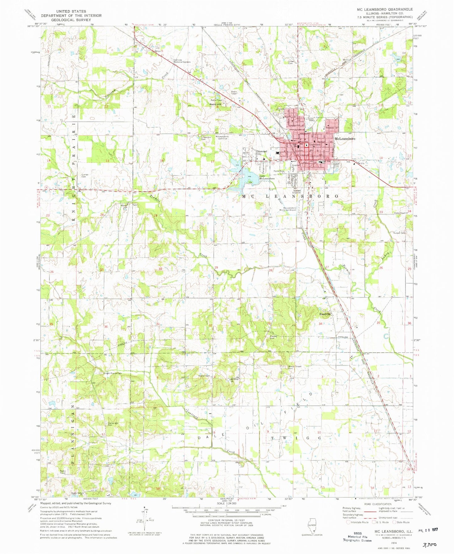
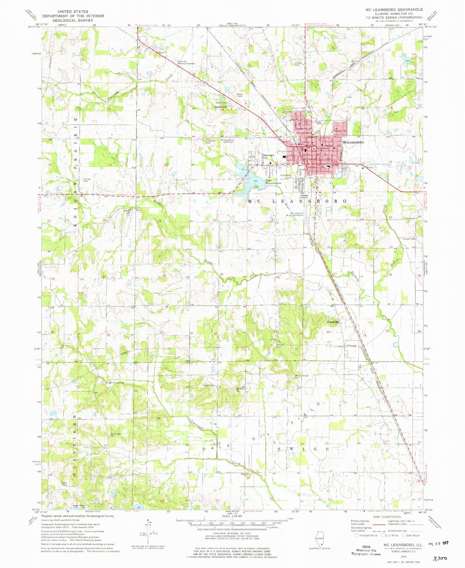
Historical USGS topographic quad map of McLeansboro in the state of Illinois. Map scale may vary for some years, but is generally around 1:24,000. Print size is approximately 24" x 27"
This quadrangle is in the following counties: Hamilton.
The map contains contour lines, roads, rivers, towns, and lakes. Printed on high-quality waterproof paper with UV fade-resistant inks, and shipped rolled.
Contains the following named places: Anderson School, Bear Creek, Braden Valley Church, Cartwright Cemetery, Centerville Mens Club Lake, Centerville Mens Club Lake Dam, City of McLeansboro, Crisel Cemetery, Dale Oil Field, Diamond City, East Side Elementary School, Edwards Station, First Baptist Church, First Christian Church, First Presbyterian Church, First United Methodist Church, Glenview Memorial Gardens, Gunter Cemetery, Gunter School, Hamilton County, Hamilton County Courthouse, Hamilton County Fair Grounds, Hamilton County Sheriff's Office, Hamilton Memorial Hospital, Hoodville, Hutson Cemetery, John Goin Lake, John Goin Lake Dam, Knight Prairie Church, Knights Prairie Cemetery, Lake McLeansboro, LaKey Creek, Marys Chapel, Marys Chapel Cemetery, Marys Chapel School, McCoy Memorial Library, McLeansboro, McLeansboro Airport, McLeansboro Fire Department, McLeansboro Golf Club, McLeansboro High School, McLeansboro Hospital, McLeansboro Junction, McLeansboro Lake Dam, McLeansboro Police Department, McLeansboro Post Office, Moorman School, Mount Olivet Church, Odd Fellows Cemetery, Opossum Creek, Parkers Prairie School, Presley Cemetery, Pyrtle School, Radio Hill, Reed School, Saint Clements Roman Catholic Church, Saint James Episcopal Church, Shady Grove School, Sulphur Springs School, Sutton School, Tenmile Church, Township of McLeansboro, Union Hall Cemetery, Vickers Memorial Hospital, Webbs Chapel, Weldin School, West Side Elementary School, White School, WMCL-AM (McLeansboro), ZIP Code: 62859


