MyTopo
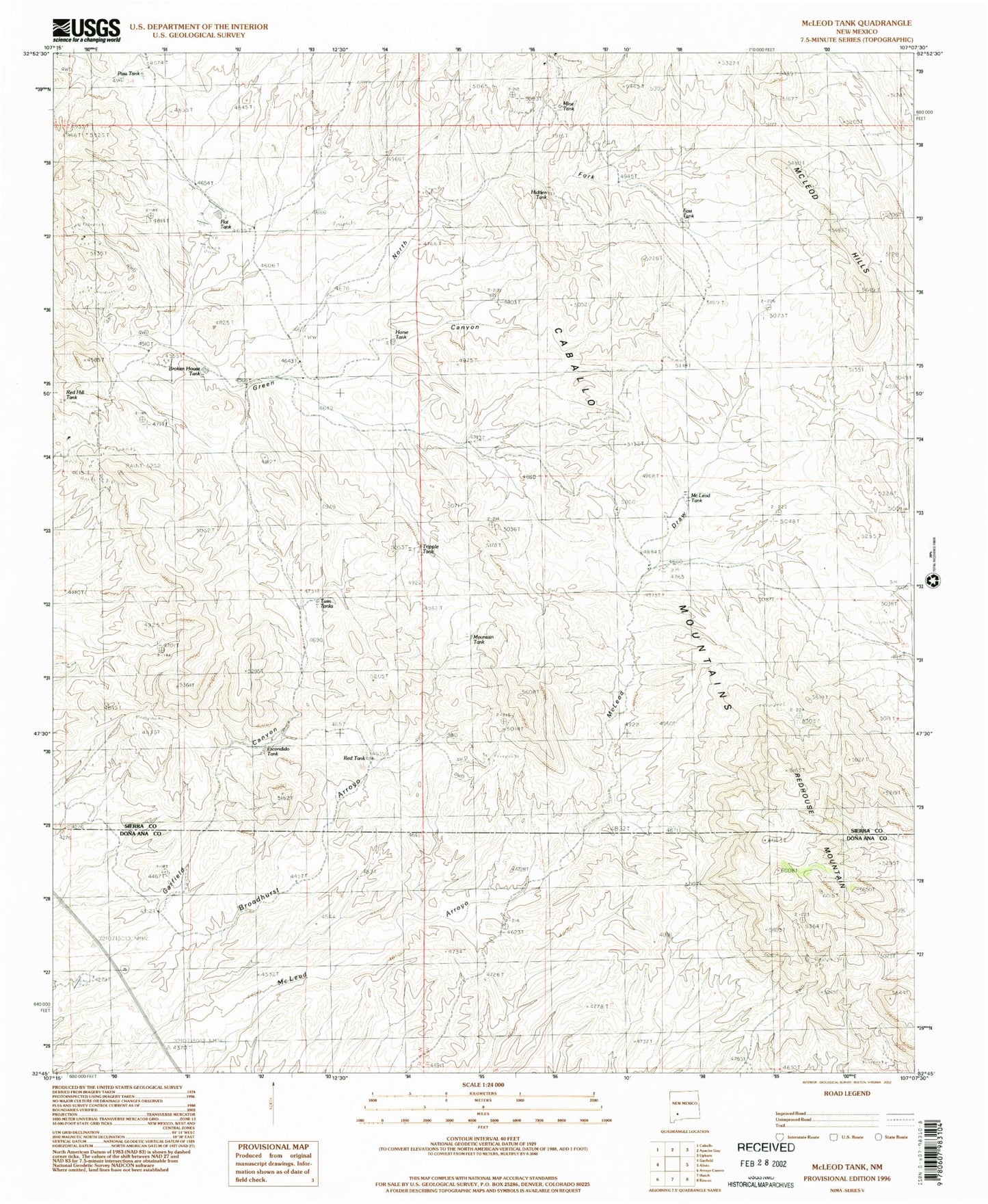
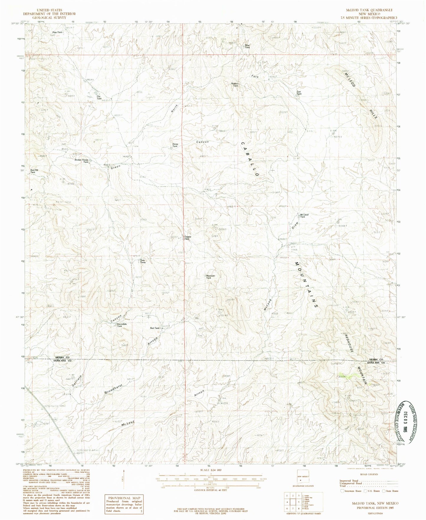
Classic USGS McLeod Tank New Mexico 7.5'x7.5' Topo Map
Couldn't load pickup availability
Historical USGS topographic quad map of McLeod Tank in the state of New Mexico. Map scale may vary for some years, but is generally around 1:24,000. Print size is approximately 24" x 27"
This quadrangle is in the following counties: Do��a Ana, Sierra.
The map contains contour lines, roads, rivers, towns, and lakes. Printed on high-quality waterproof paper with UV fade-resistant inks, and shipped rolled.
Contains the following named places: Alamo, Black Darling, Black Darling Group, Blackie Mine, Broken House Tank, East Tank, Flat Tank, Gar Spar Claims, Gar-Spar, Hatch Valley Arroyos Site Six Dam, Hidden Tank, Hogue Hills, Horse Tank, Lorraine, Luchini Manganese Prospect, McLeod Draw, McLeod Hills, McLeod Tank, Mine Tank, Mountain Tank, Nakaye Group, Palm Park Mine, Pass Tank, Red Hill Tank, Red House Mountain, Red Tank, Redhouse Mountain, Tipton Ranch, Tripple Tank, Twin Tanks, Velarde, Velarde Manganese Prospect


