MyTopo
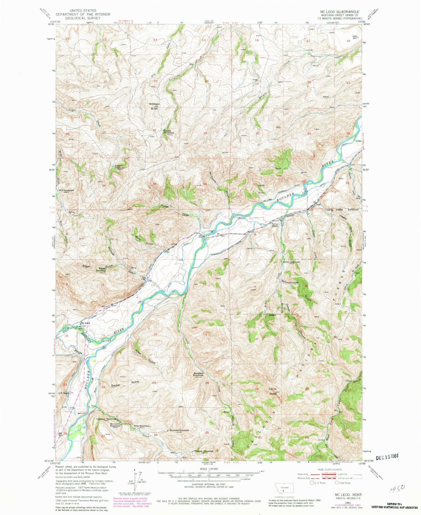
Classic USGS McLeod Montana 7.5'x7.5' Topo Map
Couldn't load pickup availability
Historical USGS topographic quad map of McLeod in the state of Montana. Map scale may vary for some years, but is generally around 1:24,000. Print size is approximately 24" x 27"
This quadrangle is in the following counties: Sweet Grass.
The map contains contour lines, roads, rivers, towns, and lakes. Printed on high-quality waterproof paper with UV fade-resistant inks, and shipped rolled.
Contains the following named places: 01S14E21DCCD01 Well, 01S14E28ABBD01 Well, 01S14E28BABB01 Spring, 01S14E32CADB01 Well, 02S13E01ACDB01 Well, 02S13E01BACA01 Well, 02S13E01BDDD01 Well, 02S13E01DBBC01 Well, 02S13E10DCDA01 Well, 02S13E11BBBC01 Spring, 02S13E11CDCC01 Well, 02S13E15AABB01 Well, 02S13E15BAAA01 Well, 02S13E15BBCD01 Well, 02S13E15BCBB01 Well, 02S13E15CAAC01 Well, 02S13E15CABB01 Well, 02S14E05CBCB01 Spring, 02S14E06AABB01 Well, 02S14E06AADA01 Well, Antelope Butte, Barn Gulch, Blanchard Homestead, Bohee Creek, Boulder Forks Fishing Access Site, Boulder Forks Recreation Area, Broughton Homestead, Carpenter Homestead, Castle Butte, Castle Creek, Cherry Creek, Conant Creek, Corker Canyon, Decker Gulch, Dore Creek, Dutton Homestead, Dutton School, Edgar Gulch, Fort McLeod, Fuller Draw, Happy Jack Gulch, Hoyseth Homestead, Kline Homestead, L W Ranch, Loasby Ditch, Mc Comb Campbell Ditch, McComb Draw, McConnell Homestead, McLeod, McLeod Post Office, McLeod Resort, McLeod School, Michael Ditch, Michael Gulch, Miles Flower Ditch, Miles Gulch, Schmidelkoffer Dutton Vogers Ditch, Schoolhouse Gulch, Seaforth Homestead, Smoot Ditch, Susie Creek, Thurman Homestead, Wagner Homestead, West Boulder River, Wild Homestead